Old Maps of Jackson Township, Minnesota for Hiking & Exploration
Hike through history with 25 historic maps of Jackson Township. Explore old trails, ghost towns, and forgotten backroads — perfect for outdoor adventurers and local explorers.
- Rediscover forgotten places: Map out old mining camps, roads, and footpaths that no longer exist on modern maps.
- Layer with modern tools: Combine with LiDAR or satellite views to plan hikes through historical terrain.
- Made for exploration: Popular among hikers, overlanders, and local history lovers.
Use these maps to find adventure and explore the hidden past of Jackson Township.
Jackson Township, MN maps
(25)- 1905 Map of Minnetonka, 1957 Print
 1905 Minnetonka1957 Print · USGSLake Minnetonka and the Minnesota River valley are seen here during the early twentieth century as the region's resort and rail economy reached its height. Genealogists and historians can trace rail stops like Mound Sta, the summer colonies of Deephaven, and the riverfront streets of Chaska.
 - 1907 Map of Minnetonka
 1907 Minnetonka1907 Print · USGSLake Minnetonka was a premier summer destination at the turn of the century, crisscrossed by a Steamboat Route and multiple railroads. Genealogists and historians can trace old lakeside landings and early rail stops like Spring Park Sta, Mound Sta, and Zumbra Heights Sta.3 unique versions available
 - 1953 Map of Saint Paul, 1964 Print
 1953 Saint Paul1964 Print · USGSThe Twin Cities and the Mississippi River valley are captured here at a mid-century turning point. Trace the early growth of Minneapolis and Saint Paul alongside landmarks like Lake Minnetonka and the St Croix River.4 unique versions available
 - 1957 Map of New Prague, 1959 Print
 1957 New Prague1959 Print · USGSScott and Le Sueur Counties in the late fifties reveal a landscape of deep-rooted parish settlements and thriving river-valley agriculture. Genealogists can trace family footprints through rural sites like East Union, St Benedict, and the St Josephs Sch Cem.2 unique versions available
 - 1958 Map of Lake Minnetonka, 1959 Print
 1958 Lake Minnetonka1959 Print · USGSThe western suburbs of Minneapolis appear in a period of transition during the late fifties, centered on the complex shores of Lake Minnetonka. Genealogists and historians can trace the foundations of Wayzata, Deephaven, and Shakopee, or locate family landmarks like Calvin Ch and the Jesuit Seminary.2 unique versions available
 - 1958 Map of Shakopee, 1959 Print
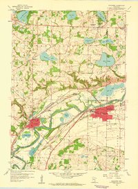 1958 Shakopee1959 Print · USGSThe Minnesota River valley comes alive in the late fifties, showcasing the river towns of Shakopee and Chaska as they sat before major modern development. Genealogists and historians can trace local landmarks like Assumption Seminary, St Johns Cem, and the path of the Minneapolis and St Louis railroad.5 unique versions available
 - 1959 Map of Saint Paul
 1959 Saint Paul1959 Print · USGSThe Twin Cities and southeastern Minnesota appear here in the late fifties, showing the peak of the rail era and post-war suburban growth. Genealogists can trace family footprints near Lake Minnetonka, the Univ Of Minn Rosemount Research Center, or the growing neighborhoods of Richfield.2 unique versions available
 - 1981 Map of Jordan West, 1982 Print
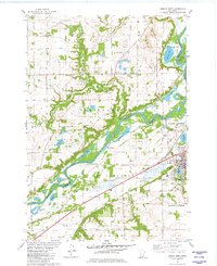 1981 Jordan West1982 Print · USGSThe Minnesota River valley south of Carver comes to life in the early 1980s, showcasing a landscape of river-bottom lakes and upland farming. Researchers can locate the Augustana Cemetery, trace the Chicago and North Western rail line, and find the Drive-in Theater near Jordan.
 - 1981 Map of Jordan East, 1982 Print
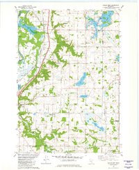 1981 Jordan East1982 Print · USGSScott County in the early eighties remains a landscape of small agricultural hamlets and glacial lakes. Researchers can trace the rail lines of the Chicago and North Western, locate local burial sites like St Marys Cem, or find the small community of Mudbaden.2 unique versions available
 - 1985 Map of Saint Paul
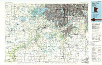 1985 Saint Paul1985 Print · USGSThe Twin Cities metropolitan area and its southern suburbs are captured here in the mid-eighties as the urban landscape expanded toward the Minnesota River. Researchers can trace the layout of the Fort Snelling Military Reservation, find local landmarks like St Benedict Church, and study the rail routes of the Soo Line.2 unique versions available
 - 2010 Map of Jordan West, 2010 Print
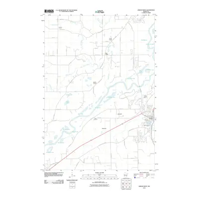 2010 Jordan West2010 Print · USGSThe Minnesota River valley near Jordan is captured here in the early twenty-first century, showing the mix of growing towns and deep-rooted rural sites. Researchers can find Spirit Hill Cemetery, the Scott County Fairgrounds, and local schools like School Number 25.
 - 2010 Map of Shakopee, 2010 Print
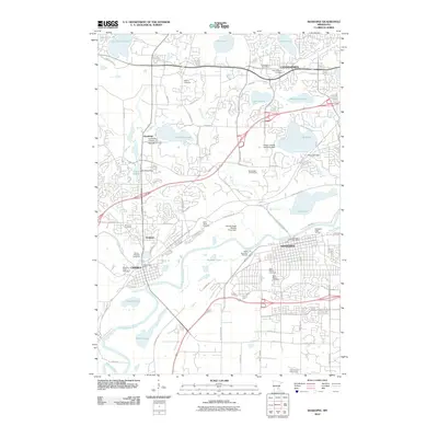 2010 Shakopee2010 Print · USGSThe Minnesota River valley comes into focus during this period of suburban growth in Chaska, Chanhassen, and Shakopee. Researchers can trace numerous local heritage sites including Moravian Cemetery, Rileys Landing Seaplane Base, and the University of Saint Thomas.
 - 2010 Map of Jordan East, 2010 Print
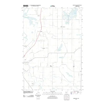 2010 Jordan East2010 Print · USGSScott County reveals its rural character and glacial hydrology during the early 21st century. Researchers can trace family ties and early settlements near Saint Marys Cemetery in Marystown or follow the winding course of Sand Creek through Merriam.
 - 2013 Map of Jordan West, 2013 Print
 2013 Jordan West2013 Print · USGSThe bluffs of the Minnesota River valley and the town of Jordan are captured here during the early twenty-first century. Genealogists and local historians can locate early burial sites like Augustana Cem or trace the development of the Scott County Fairgrounds.
 - 2013 Map of Shakopee, 2013 Print
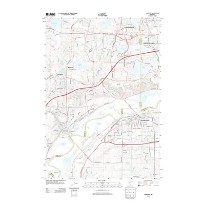 2013 Shakopee2013 Print · USGSThe Minnesota River valley comes into focus during this period of suburban growth across Chaska and Shakopee. Genealogists and local historians can trace legacy sites like the Brickyard Clayhole, Aspden Cem, and Moravian Cem as modern developments rise around them.
 - 2013 Map of Jordan East, 2013 Print
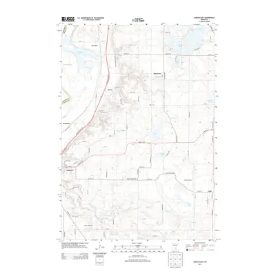 2013 Jordan East2013 Print · USGSScott County's river-valley landscape is documented here in the early twenty-first century as the area around Jordan transitioned between its agricultural roots and modern growth. Genealogists and local historians can locate Saint Marys Cemetery, the settlement of Marystown, and the sprawling Louisville Swamp.
 - 2016 Map of Jordan West, 2016 Print
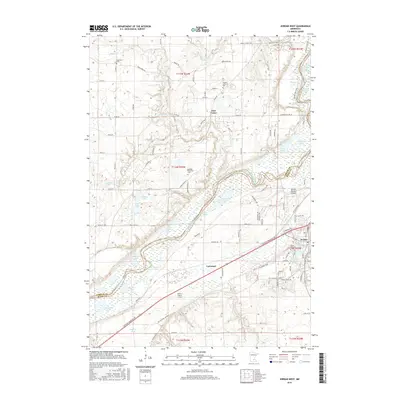 2016 Jordan West2016 Print · USGSThe Minnesota River valley and its marshy bottomlands are captured here in the mid-2010s, showing the settled bluffs above Jordan. Family historians can locate the Augustana Cemetery and Swedish Lutheran Cemetery or trace the Union Pacific railroad past Carver Rapids.
 - 2016 Map of Jordan East, 2016 Print
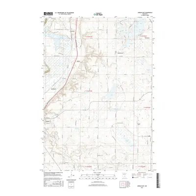 2016 Jordan East2016 Print · USGSThe river bluffs and wetlands of Scott County are captured here in the mid-2010s, showing a landscape defined by water and early crossroads. Trace family roots through local landmarks like Saint Mary's Cem, the settlement of Lydia, and the rural expanse of Louisville Swamp.
 - 2016 Map of Shakopee, 2016 Print
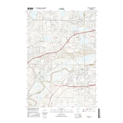 2016 Shakopee2016 Print · USGSThe Minnesota River valley serves as the focal point for this mid-2010s study of the growing suburban corridor southwest of Minneapolis. Genealogists and local historians can locate several historic burial sites like Chanhassen Pioneer Cem or trace industrial remnants at the Brickyard Clayhole.
 - 2019 Map of Jordan West, 2019 Print
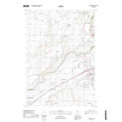 2019 Jordan West2019 Print · USGSThe Minnesota River valley south of Carver appears here in the late 2010s, showcasing a landscape of fertile bottoms and upland settlements. Genealogists can locate several historic burial grounds, including Augustana Cem and Spirit Hill Cem, alongside the community of East Union.
 - 2019 Map of Jordan East, 2019 Print
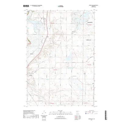 2019 Jordan East2019 Print · USGSScott County's wetlands and rising suburban fringes are captured here in the late twenty-tens, showing the area between the Minnesota River valley and local lakes. Researchers can trace historic burial sites at Saint Mary's Cem, the rural crossroads of Lydia, and aviation history at Sky Park Airport.
 - 2019 Map of Shakopee, 2019 Print
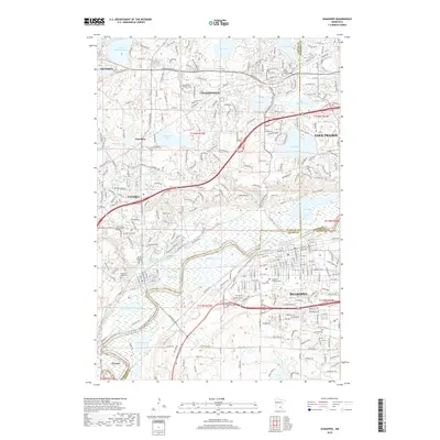 2019 Shakopee2019 Print · USGSThe Minnesota River valley comes alive in the late 2010s as it winds past flourishing suburban centers. Researchers can trace local heritage through numerous burial grounds like Moravian Cem or explore industrial history at the Brickyard Clayhole and Firemens Clayhole.
 - 2022 Map of Jordan East, 2022 Print
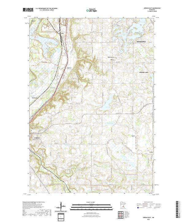 2022 Jordan East2022 Print · USGSScott County enters the 2020s as a landscape of historic crossroads and glacial lakes south of the Minnesota River. Researchers can trace family roots at Saint Mary's Cem or locate old community centers like Merriam, Mudbaden, and Lydia.
 - 2022 Map of Jordan West, 2022 Print
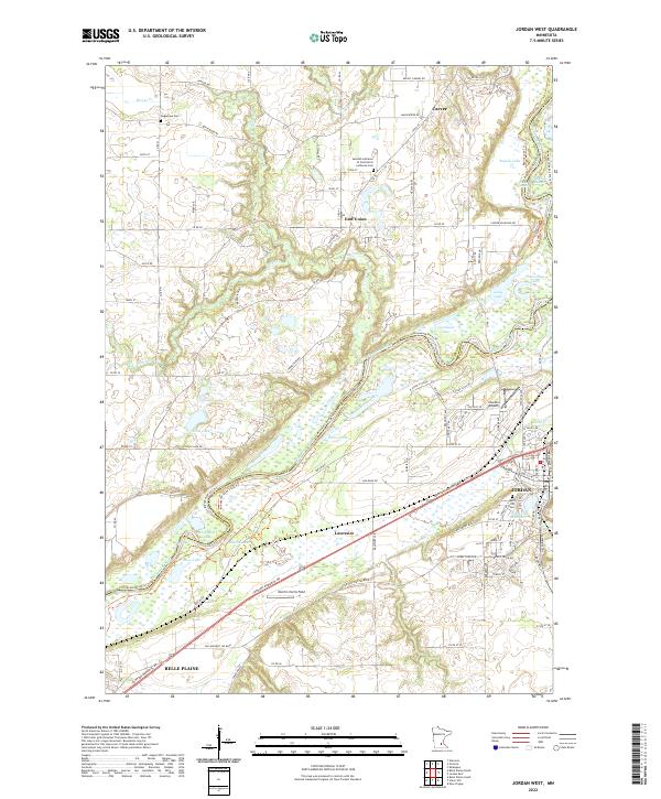 2022 Jordan West2022 Print · USGSThe Minnesota River bottomlands near Jordan and Belle Plaine are captured here in a contemporary 2022 survey. Researchers can trace the river's path between CARVER CO and SCOTT CO, locating landmarks like Stocker Airport and the Augustana Cem.
 - 2022 Map of Shakopee, 2022 Print
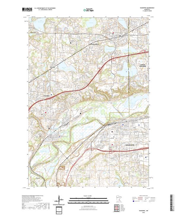 2022 Shakopee2022 Print · USGSThe Minnesota River valley serves as the centerpiece for this contemporary survey of Carver and Scott Counties. Researchers can trace local heritage through numerous sites like Chanhassen Pioneer Cem, Saint John's Cem, and the old clayholes of Chaska.
End of results
Showing maps 1-25 of 25
Top cities near Jackson Township
- Bloomington historical maps
- Plymouth historical maps
- Eden Prairie historical maps
- Saint Louis Park historical maps
- Minnetonka historical maps
- Edina historical maps
See more
Top neighborhoods of Jackson Township
Frequently asked questions
- What are the different types of historical maps available for Jackson Township?
- What is the oldest map of Jackson Township?
- Where can I purchase historical maps of Jackson Township for my home or office?
- Where can I download high-res historical maps of Jackson Township?
- Are there historical topographic maps available for Jackson Township?
- Is there historical aerial imagery available for Jackson Township?
- Where are historical maps of Jackson Township sourced from?