2000s (21st Century) Maps of St. Cloud, Minnesota
Explore 30 historic maps of St. Cloud from the 2000s (21st Century). These maps offer a rare glimpse into what life looked like during the 2000s — showing old roads, neighborhoods, homes, and landmarks that have changed or disappeared over time.
Whether you're researching your family's past, planning a metal detecting trip, or studying how St. Cloud's landscape evolved across the 2000s, these high-resolution maps are a powerful tool for exploring the history of this region.
- Focus on a specific era: All maps on this page are from the 2000s, giving you a focused view of this time period.
- See what’s changed: Compare century-old streets, trails, and buildings to today's modern landscape using overlays and satellite layers.
- Research with precision: Use these maps for genealogy, historical research, land use analysis, or educational projects.
- View, download, or print: Maps are fully viewable online in high resolution, and can be downloaded or printed for your own records.
Start exploring St. Cloud's history through authentic maps from the 2000s. This is your window into the past.
St. Cloud, MN maps
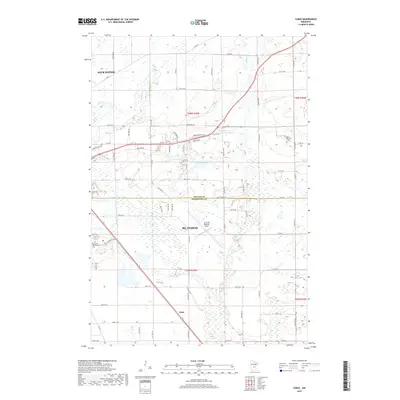
(30)- 2010 Map of Clearwater, 2010 Print
 2010 Clearwater2010 Print · USGSCovers St. Cloud, including Clearwater, Clear Lake, and other nearby areas
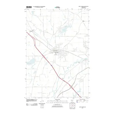
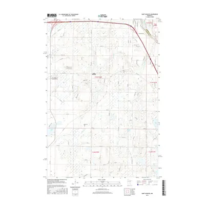
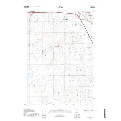
 - 2010 Map of Saint Augusta, 2010 Print
 2010 Saint Augusta2010 Print · USGSCovers St. Cloud, including Saint Augusta, Luxemburg, and other nearby areas
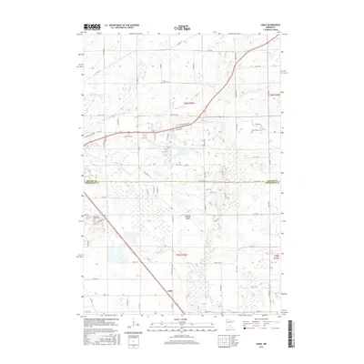
 - 2010 Map of Cable, 2010 Print
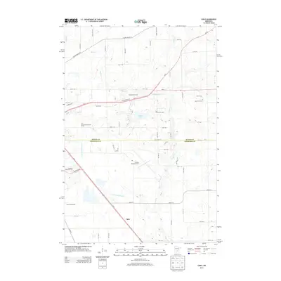
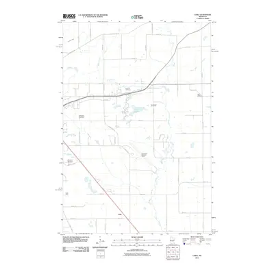 2010 Cable2010 Print · USGSCovers St. Cloud, including Sauk Rapids, Saint George Township, and other nearby areas
 - 2010 Map of Saint Joseph, 2010 Print
 2010 Saint Joseph2010 Print · USGSCovers St. Cloud, including Sartell, Saint Joseph, and other nearby areas
 - 2010 Map of Rockville, 2010 Print
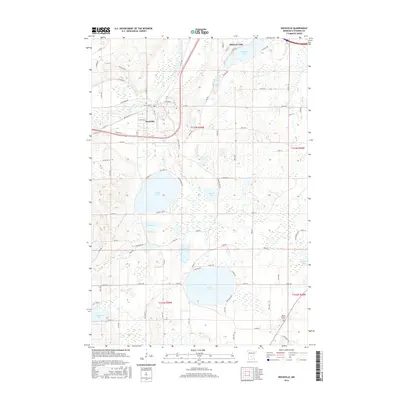
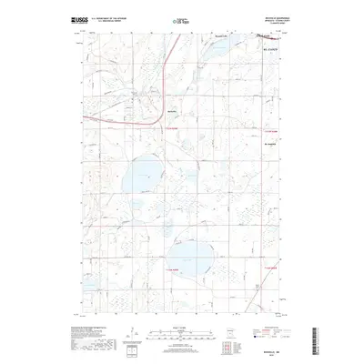
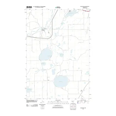 2010 Rockville2010 Print · USGSCovers St. Cloud, including Rockville, Marty, and other nearby areas
 - 2010 Map of Saint Cloud, 2010 Print
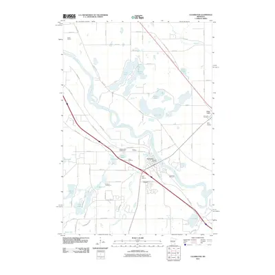
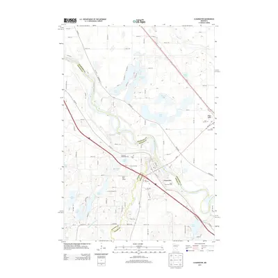
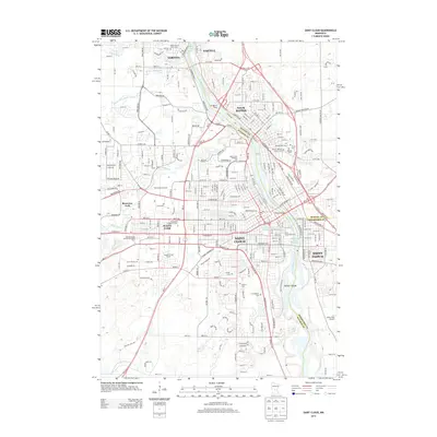
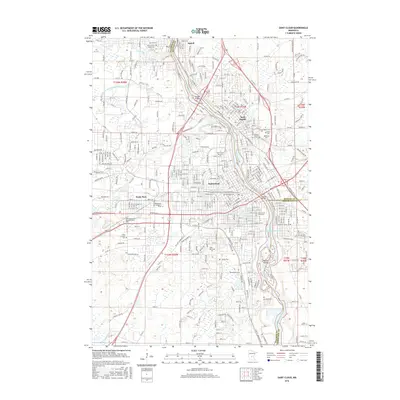
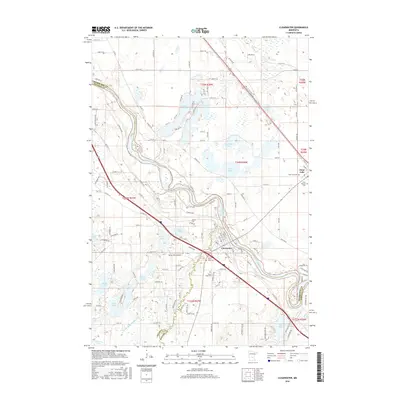
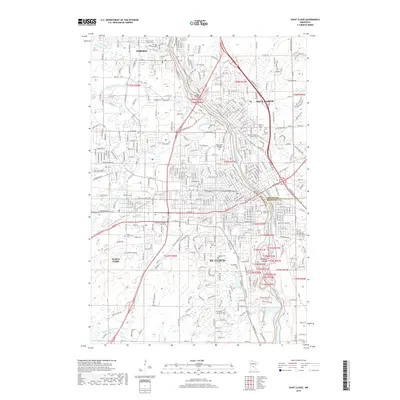
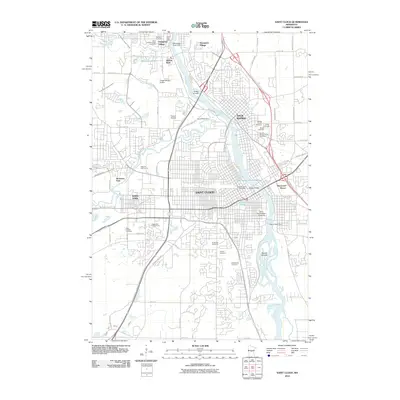 2010 Saint Cloud2010 Print · USGSCovers St. Cloud, including Saint Cloud, Sauk Rapids, and other nearby areas
 - 2013 Map of Rockville, 2013 Print
 2013 Rockville2013 Print · USGSCovers St. Cloud, including Rockville, Marty, and other nearby areas
 - 2013 Map of Saint Augusta, 2013 Print
 2013 Saint Augusta2013 Print · USGSCovers St. Cloud, including Saint Augusta, Luxemburg, and other nearby areas
 - 2013 Map of Clearwater, 2013 Print
 2013 Clearwater2013 Print · USGSCovers St. Cloud, including Clearwater, Clear Lake, and other nearby areas
 - 2013 Map of Cable, 2013 Print
 2013 Cable2013 Print · USGSCovers St. Cloud, including Sauk Rapids, Saint George Township, and other nearby areas
 - 2013 Map of Saint Joseph, 2013 Print
 2013 Saint Joseph2013 Print · USGSCovers St. Cloud, including Sartell, Saint Joseph, and other nearby areas
 - 2013 Map of Saint Cloud, 2013 Print
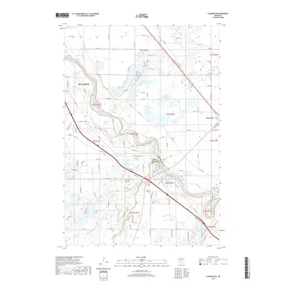
 2013 Saint Cloud2013 Print · USGSCovers St. Cloud, including Saint Cloud, Sauk Rapids, and other nearby areas
 - 2016 Map of Rockville, 2016 Print
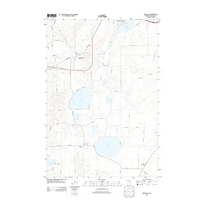
 2016 Rockville2016 Print · USGSCovers St. Cloud, including Rockville, Marty, and other nearby areas
 - 2016 Map of Saint Cloud, 2016 Print
 2016 Saint Cloud2016 Print · USGSCovers St. Cloud, including Saint Cloud, Sauk Rapids, and other nearby areas
 - 2016 Map of Cable, 2016 Print
 2016 Cable2016 Print · USGSCovers St. Cloud, including Sauk Rapids, Saint George Township, and other nearby areas
 - 2016 Map of Saint Augusta, 2016 Print
 2016 Saint Augusta2016 Print · USGSCovers St. Cloud, including Saint Augusta, Luxemburg, and other nearby areas
 - 2016 Map of Clearwater, 2016 Print
 2016 Clearwater2016 Print · USGSCovers St. Cloud, including Clearwater, Clear Lake, and other nearby areas
 - 2016 Map of Saint Joseph, 2016 Print
 2016 Saint Joseph2016 Print · USGSCovers St. Cloud, including Sartell, Saint Joseph, and other nearby areas
 - 2019 Map of Clearwater, 2019 Print
 2019 Clearwater2019 Print · USGSCovers St. Cloud, including Clearwater, Clear Lake, and other nearby areas
 - 2019 Map of Rockville, 2019 Print
 2019 Rockville2019 Print · USGSCovers St. Cloud, including Rockville, Marty, and other nearby areas
 - 2019 Map of Cable, 2019 Print
 2019 Cable2019 Print · USGSCovers St. Cloud, including Sauk Rapids, Saint George Township, and other nearby areas
 - 2019 Map of Saint Cloud, 2019 Print
 2019 Saint Cloud2019 Print · USGSCovers St. Cloud, including Saint Cloud, Sauk Rapids, and other nearby areas
 - 2019 Map of Saint Augusta, 2019 Print
 2019 Saint Augusta2019 Print · USGSCovers St. Cloud, including Saint Augusta, Luxemburg, and other nearby areas
 - 2019 Map of Saint Joseph, 2019 Print
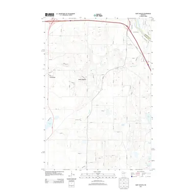
 2019 Saint Joseph2019 Print · USGSCovers St. Cloud, including Sartell, Saint Joseph, and other nearby areas
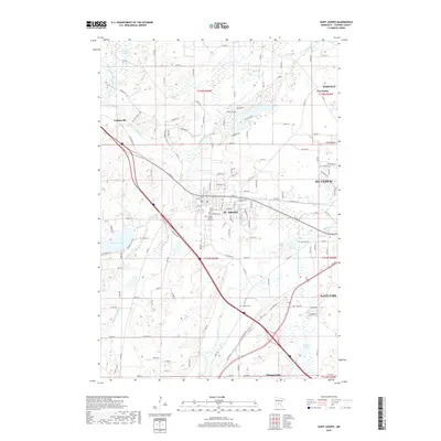
 - 2022 Map of Saint Joseph, 2022 Print
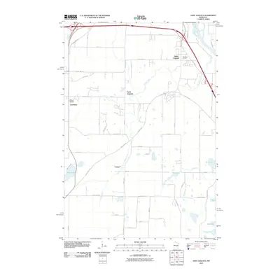
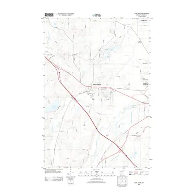
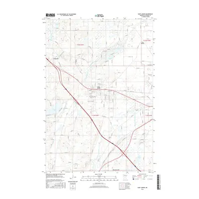
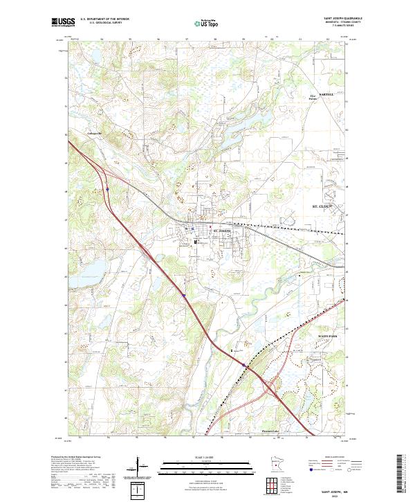 2022 Saint Joseph2022 Print · USGSCentral Minnesota near the turn of the millennium shows the enduring influence of academic and monastic life in St. Joseph. You can trace family roots through Saint Joseph Cem and Staples Cem or follow the winding Sauk River.
Showing maps 1-25 of 30
Top cities near St. Cloud
- Saint Cloud historical maps
- Sauk Rapids historical maps
- Sartell historical maps
- Waite Park historical maps
- Saint Joseph historical maps
- Saint Augusta historical maps
See more
Top neighborhoods of St. Cloud
- Shady Oak Mobile Park historical maps
- Saint Cloud historical maps
- Water's Edge at Donovan Lake historical maps
Frequently asked questions
- What are the different types of historical maps available for St. Cloud?
- What is the oldest map of St. Cloud?
- Where can I purchase historical maps of St. Cloud for my home or office?
- Where can I download high-res historical maps of St. Cloud?
- Are there historical topographic maps available for St. Cloud?
- Is there historical aerial imagery available for St. Cloud?
- Where are historical maps of St. Cloud sourced from?