Old Maps of Staples, Minnesota
Explore 23 old maps of Staples, spanning from 1953 to today. These high-resolution historic maps reveal how streets, neighborhoods, landmarks, and natural features evolved over time — perfect for genealogy, metal detecting, research, and local history exploration.
What you can do with these maps:
- See how Staples changed over time: Compare historical maps to modern-day views to trace roads, homesites, rail lines & more.
- View detailed metadata: Each map includes creators, publishers, year, scale, and archive source.
- Overlay maps with satellite & LiDAR: Visualize the past alongside modern tools to explore terrain & human change.
- Trusted historical sources: Maps sourced from the USGS, Library of Congress, and other archives.
- Access maps your way: View online, download high-res files, or order prints for personal or research use.
Start exploring old maps of Staples to uncover forgotten places, hidden landmarks, and the deep history beneath your feet.
Staples, MN maps
(23)- 1953 Map of Brainerd, 1966 Print
 1953 Brainerd1966 Print · USGSCentral Minnesota's lake country and iron ranges are detailed in the mid-fifties, showing the intersection of industry and wilderness. Researchers can locate specific local landmarks like the Crow Wing County Courthouse or trace the early paths of the Soo Line Railroad and the Cuyuna Range Iron Mines.3 unique versions available
 - 1957 Map of Brainerd
 1957 Brainerd1957 Print · USGSNorth-central Minnesota's lake-rich landscape is captured in the mid-1950s as a crossroads of rail, river, and forest. Genealogists and historians can trace the paths of the Great Northern and Soo Line railroads through hubs like Brainerd, Wadena, and Detroit Lakes.
 - 1958 Map of Brainerd
 1958 Brainerd1958 Print · USGSCentral Minnesota in the late fifties is a landscape of dense lake chains, rail hubs, and sprawling state forests. Genealogists and local historians can trace old property alignments near the Mississippi River or locate family sites in Brainerd, Little Falls, and Detroit Lakes.
 - 1963 Map of Motley, 1964 Print
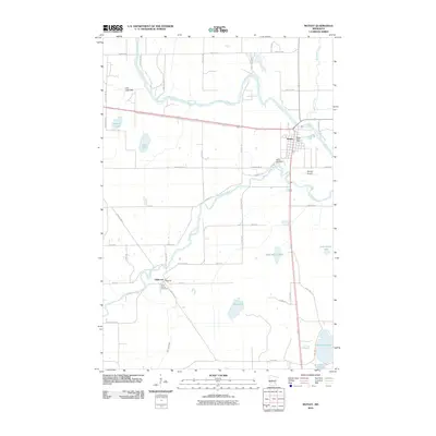
 1963 Motley1964 Print · USGSThe confluence of the Crow Wing and Long Prairie Rivers defines this pocket of central Minnesota in the early sixties. Genealogists and local historians can trace the footprint of Motley and Philbrook, along with sites like School No 1212 and St James Cem.2 unique versions available
 - 1965 Map of Brainerd
 1965 Brainerd1965 Print · USGSNorth-central Minnesota in the mid-fifties presents a complex landscape of sprawling lake systems and established rail corridors. Genealogists and historians can trace the growth of timber towns along the Northern Pacific RR and explore early borders of the White Earth Indian Reservation or Tamarac National Wildlife Refuge.
 - 1966 Map of Staples NE, 1967 Print
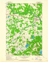
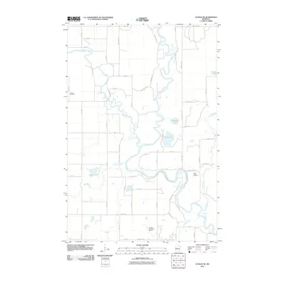
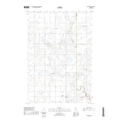
 1966 Staples NE1967 Print · USGSWadena County at the height of the mid-sixties reveals a river-laced landscape where the Crow Wing River divides local townships. Genealogists can locate Montrose Cem and Covenant Ch, while aviation enthusiasts can trace the early layout of the Staples Municipal Airport.2 unique versions available
 - 1966 Map of Staples, 1967 Print
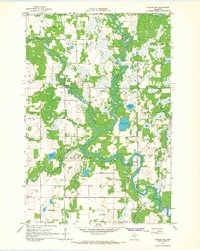
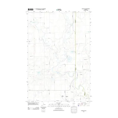
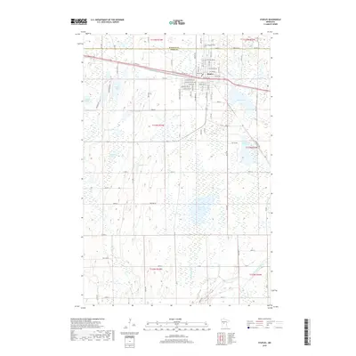
 1966 Staples1967 Print · USGSMid-century Staples thrives as a railroad and educational center on the Todd County line during the late sixties. Genealogists can locate family landmarks from the Evergreen Cemetery to rural schoolhouses like Riverside School and School No 2289.
 - 1986 Map of Brainerd
 1986 Brainerd1986 Print · USGSCentral Minnesota's lake country and river junctions are captured here in the mid-1980s. Genealogists and historians can trace the Burlington Northern line through Staples or locate family sites near Brainerd State Hospital and Gull Lake.2 unique versions available
 - 2010 Map of Staples, 2010 Print
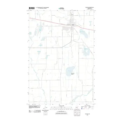 2010 Staples2010 Print · USGSCovers Staples, including Todd County, Wadena County, and other nearby areas
 - 2010 Map of Staples NE, 2010 Print
 2010 Staples NE2010 Print · USGSCovers Staples, including Cass County, Wadena County, and other nearby areas
 - 2010 Map of Motley, 2010 Print
 2010 Motley2010 Print · USGSCovers Staples, including Motley, Philbrook, and other nearby areas
 - 2013 Map of Motley, 2013 Print
 2013 Motley2013 Print · USGSCovers Staples, including Motley, Philbrook, and other nearby areas
 - 2013 Map of Staples NE, 2013 Print
 2013 Staples NE2013 Print · USGSCovers Staples, including Cass County, Wadena County, and other nearby areas
 - 2013 Map of Staples, 2013 Print
 2013 Staples2013 Print · USGSCovers Staples, including Todd County, Wadena County, and other nearby areas
 - 2016 Map of Staples NE, 2016 Print
 2016 Staples NE2016 Print · USGSCovers Staples, including Cass County, Wadena County, and other nearby areas
 - 2016 Map of Motley, 2016 Print
 2016 Motley2016 Print · USGSCovers Staples, including Motley, Philbrook, and other nearby areas
 - 2016 Map of Staples, 2016 Print
 2016 Staples2016 Print · USGSCovers Staples, including Todd County, Wadena County, and other nearby areas
 - 2019 Map of Motley, 2019 Print
 2019 Motley2019 Print · USGSCovers Staples, including Motley, Philbrook, and other nearby areas
 - 2019 Map of Staples NE, 2019 Print
 2019 Staples NE2019 Print · USGSCovers Staples, including Cass County, Wadena County, and other nearby areas
 - 2019 Map of Staples, 2019 Print
 2019 Staples2019 Print · USGSCovers Staples, including Todd County, Wadena County, and other nearby areas
 - 2022 Map of Motley, 2022 Print
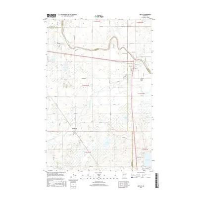
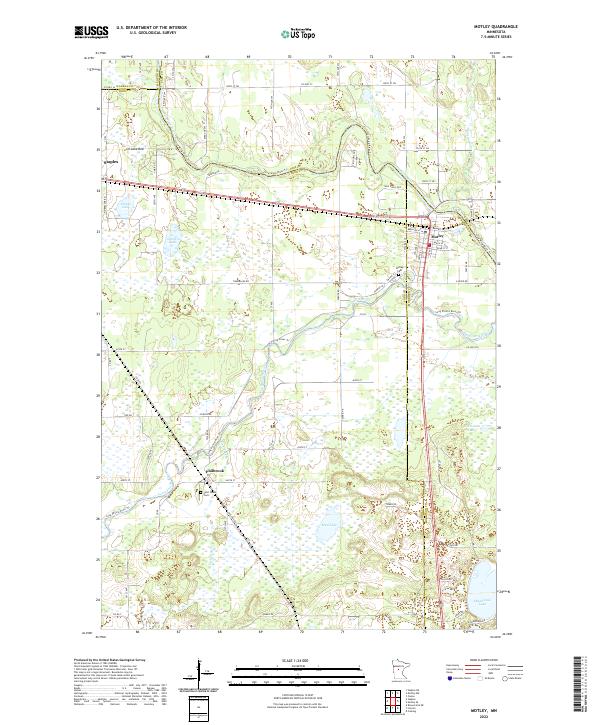 2022 Motley2022 Print · USGSMotley and the surrounding lake country appear in this recent survey at the convergence of three Minnesota counties. Researchers can trace local history through the sites of Saint James Cemetery, the settlement of Philbrook, and the waters of Shamineau Lake.
 - 2022 Map of Staples, 2022 Print
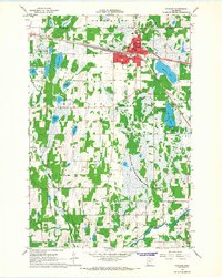
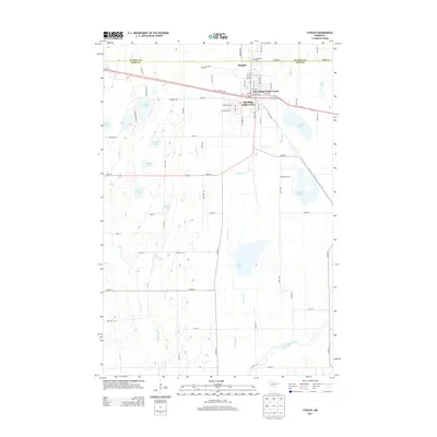
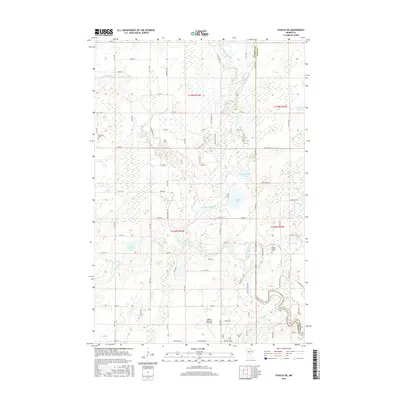
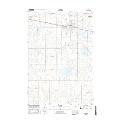
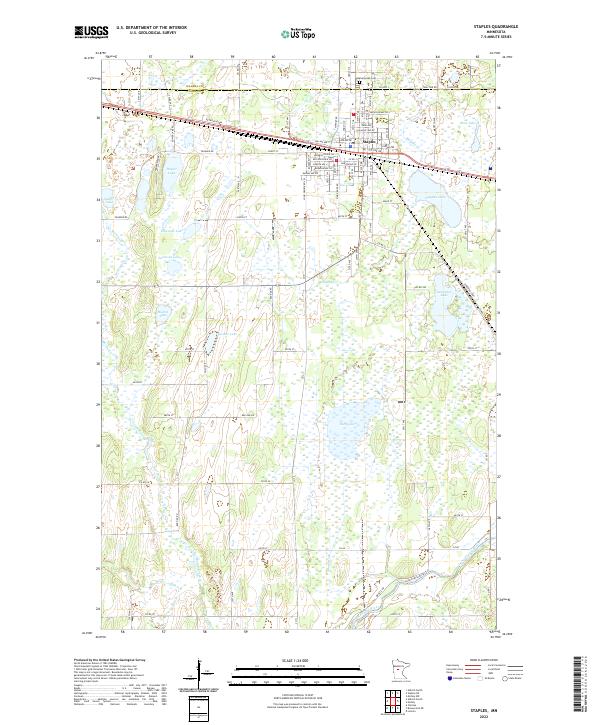 2022 Staples2022 Print · USGSIn the early twenty-first century, the town of Staples remains a crossroads on the border of Wadena and Todd counties. Local researchers can trace family landmarks and landscape changes from Evergreen Cem to the shores of Dower Lake and Rice Lake.
 - 2022 Map of Staples NE, 2022 Print
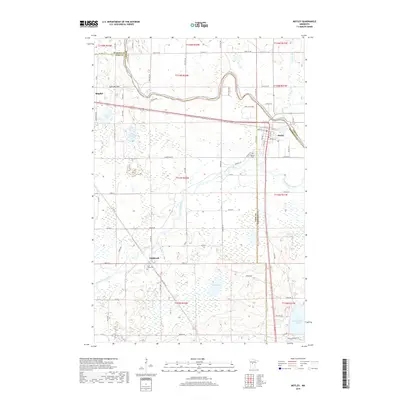
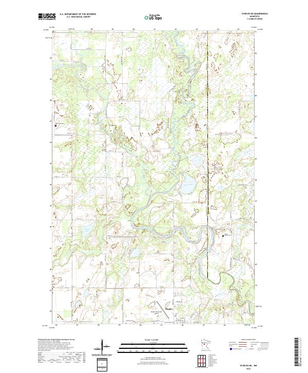 2022 Staples NE2022 Print · USGSThe confluence of the Crow Wing River and Leaf River systems defines this central Minnesota landscape in the early twenty-first century. Genealogists can trace family footprints at Montrose Cem or the Hallet Family Cem and locate landmarks near Staples.
End of results
Showing maps 1-23 of 23
Top cities near Staples
Frequently asked questions
- What are the different types of historical maps available for Staples?
- What is the oldest map of Staples?
- Where can I purchase historical maps of Staples for my home or office?
- Where can I download high-res historical maps of Staples?
- Are there historical topographic maps available for Staples?
- Is there historical aerial imagery available for Staples?
- Where are historical maps of Staples sourced from?