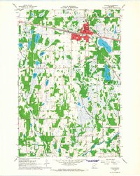
1966 Map of Staples
USGS Topo · Published 1967About this map
Staples serves as the regional hub at the boundary of Wadena and Todd counties, defined by its position along the Northern Pacific railroad. The 1960s city grid is shown in detail, including civic landmarks like City Hall, the Post Office, and a central Water Tank. Education and community services are prominent, from the High School and Vocational School to the local Hospital and Evergreen Cemetery.
Find a feature on this map
45 named features on this map. Tap any name to fly to it.
Don’t see what you’re looking for? This feature index may not catch every label — zoom into the map to look around manually.
Map Details
Editions of this 1966 Staples Map
This is the sole edition of this map. No revisions or reprints were ever made.
Other maps of this area
1948 · Cushing
USGS Topo · 1:62,500
1950 · Cushing
USGS Topo · 1:62,500
1953 · Brainerd
USGS Topo · 1:250,000
1957 · Brainerd
USGS Topo · 1:250,000
1958 · Brainerd
USGS Topo · 1:250,000
1963 · Motley
USGS Topo · 1:24,000
1965 · Brainerd
USGS Topo · 1:250,000
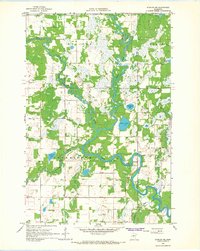
1966 · Staples NE
USGS Topo · 1:24,000
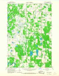
1966 · Motley NW
USGS Topo · 1:24,000
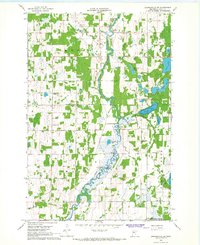
1966 · Browerville NE
USGS Topo · 1:24,000