Loading...
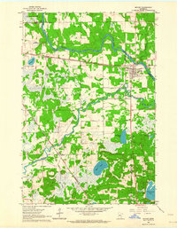
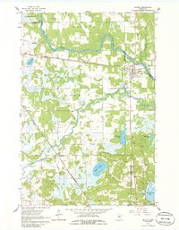
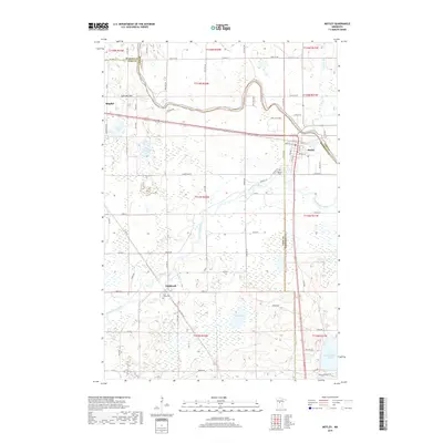
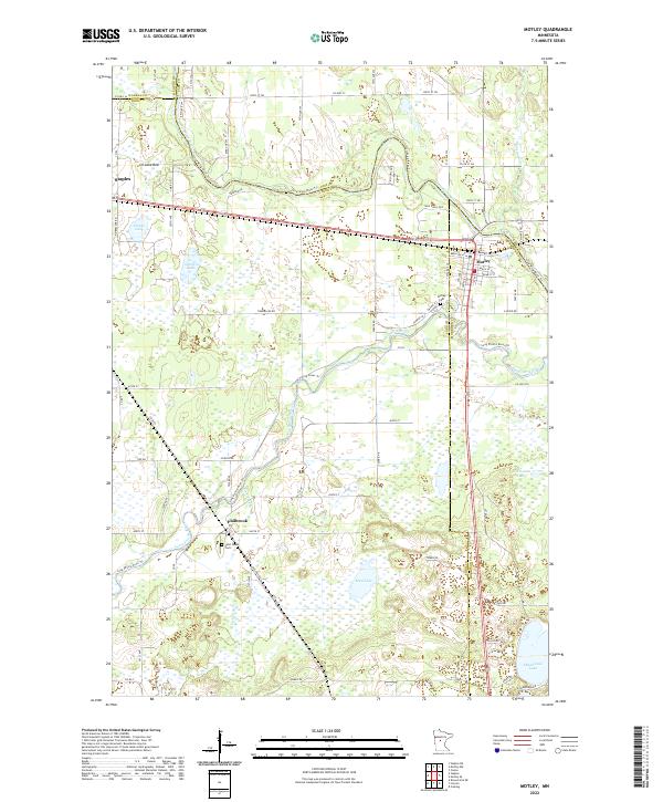
Loading map...1963 Map of Motley
USGS Topo · Published 1964About this map
The confluence of the Crow Wing River and the Long Prairie River anchors this mid-century survey of the central Minnesota lake country. The settlement of Motley serves as a local hub at the intersection of the Northern Pacific railroad and regional roadways, featuring its own Fairground and the Motley Cem. The landscape is a mosaic of water and woods, showing significant hydrological features like the expansive Mud Lake, Shamineau Lake, and the notably dry Lois Lake Bed.
Find a feature on this map
35 named features on this map. Tap any name to fly to it.
Don’t see what you’re looking for? This feature index may not catch every label — zoom into the map to look around manually.
Map Details
Date Portrayed1963
Date Published1964
PublisherU.S. Geological Survey
Map TypeTopographic
Scale1:24,000
Physical Dimensions21.2 x 27.2 inches
Editions of this 1963 Motley Map
2 editions found
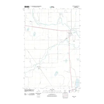
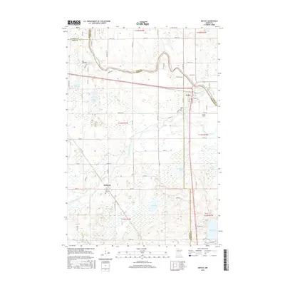
Historical Maps of Motley Through Time
6 maps found

Featured Locations
Source Details
SourceU.S. Geological Survey
CopyrightPublic Domain