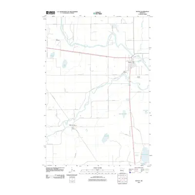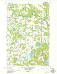
1963 Map of Motley
USGS Topo · Published 1986About this map
The Crow Wing River and Long Prairie River converge near the settlement of Motley, forming a central geographic focus in this mid-century survey of the central Minnesota borderlands. The landscape is a complex network of glacial features, including Mud Lake, West Nelson Lake, and the larger Shamineau Lake at the southern edge. The Northern Pacific railroad cuts through the terrain, passing through the village center where a Fairground and Motley Cem are established. To the southwest, the smaller settlement of Philbrook sits along the bend of the Long Prairie River, adjacent to the St James Cem. The map documents the rural infrastructure of the era, from the Townhall in the west to various gravel and sand pits that underscore the local geology. This 1960s record captures the region before modern highway expansions, showing a landscape still defined by its townships like Villard, Fawn Lake, and Scandia Valley.
Find a feature on this map
32 named features on this map. Tap any name to fly to it.
Don’t see what you’re looking for? This feature index may not catch every label — zoom into the map to look around manually.
Map Details
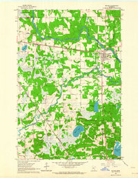
Editions of this 1963 Motley Map
2 editions found
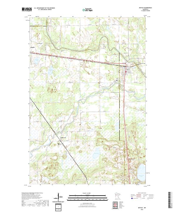
Historical Maps of Motley Through Time
6 maps found