2000s (21st Century) Maps of Staples, Minnesota
Explore 15 historic maps of Staples from the 2000s (21st Century). These maps offer a rare glimpse into what life looked like during the 2000s — showing old roads, neighborhoods, homes, and landmarks that have changed or disappeared over time.
Whether you're researching your family's past, planning a metal detecting trip, or studying how Staples's landscape evolved across the 2000s, these high-resolution maps are a powerful tool for exploring the history of this region.
- Focus on a specific era: All maps on this page are from the 2000s, giving you a focused view of this time period.
- See what’s changed: Compare century-old streets, trails, and buildings to today's modern landscape using overlays and satellite layers.
- Research with precision: Use these maps for genealogy, historical research, land use analysis, or educational projects.
- View, download, or print: Maps are fully viewable online in high resolution, and can be downloaded or printed for your own records.
Start exploring Staples's history through authentic maps from the 2000s. This is your window into the past.
Staples, MN maps
(15)- 2010 Map of Staples, 2010 Print
 2010 Staples2010 Print · USGSCovers Staples, including Todd County, Wadena County, and other nearby areas
 - 2010 Map of Staples NE, 2010 Print
 2010 Staples NE2010 Print · USGSCovers Staples, including Cass County, Wadena County, and other nearby areas
 - 2010 Map of Motley, 2010 Print
 2010 Motley2010 Print · USGSCovers Staples, including Motley, Philbrook, and other nearby areas
 - 2013 Map of Motley, 2013 Print
 2013 Motley2013 Print · USGSCovers Staples, including Motley, Philbrook, and other nearby areas
 - 2013 Map of Staples NE, 2013 Print
 2013 Staples NE2013 Print · USGSCovers Staples, including Cass County, Wadena County, and other nearby areas
 - 2013 Map of Staples, 2013 Print
 2013 Staples2013 Print · USGSCovers Staples, including Todd County, Wadena County, and other nearby areas
 - 2016 Map of Staples NE, 2016 Print
 2016 Staples NE2016 Print · USGSCovers Staples, including Cass County, Wadena County, and other nearby areas
 - 2016 Map of Motley, 2016 Print
 2016 Motley2016 Print · USGSCovers Staples, including Motley, Philbrook, and other nearby areas
 - 2016 Map of Staples, 2016 Print
 2016 Staples2016 Print · USGSCovers Staples, including Todd County, Wadena County, and other nearby areas
 - 2019 Map of Motley, 2019 Print
 2019 Motley2019 Print · USGSCovers Staples, including Motley, Philbrook, and other nearby areas
 - 2019 Map of Staples NE, 2019 Print
 2019 Staples NE2019 Print · USGSCovers Staples, including Cass County, Wadena County, and other nearby areas
 - 2019 Map of Staples, 2019 Print
 2019 Staples2019 Print · USGSCovers Staples, including Todd County, Wadena County, and other nearby areas
 - 2022 Map of Motley, 2022 Print
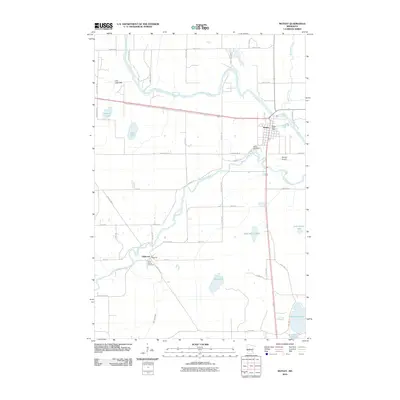
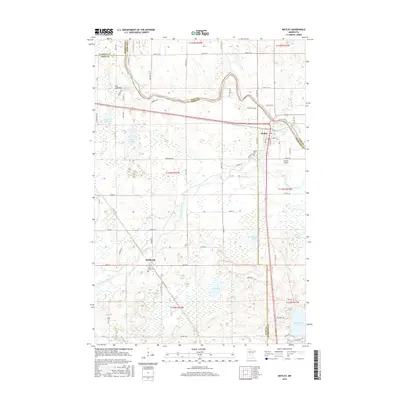
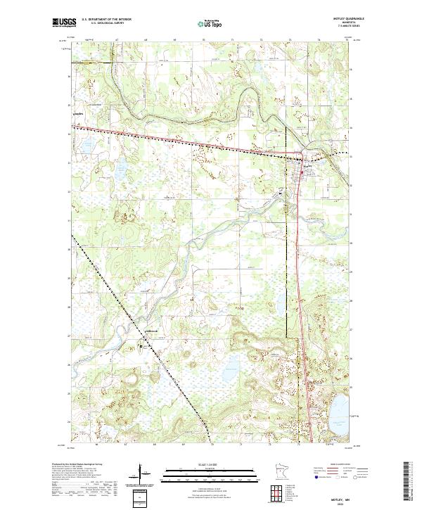 2022 Motley2022 Print · USGSMotley and the surrounding lake country appear in this recent survey at the convergence of three Minnesota counties. Researchers can trace local history through the sites of Saint James Cemetery, the settlement of Philbrook, and the waters of Shamineau Lake.
 - 2022 Map of Staples, 2022 Print
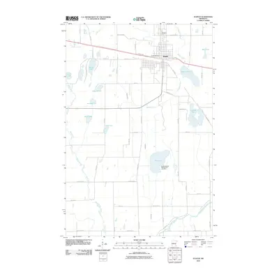
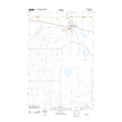
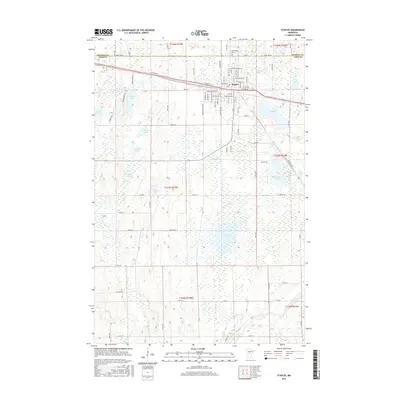
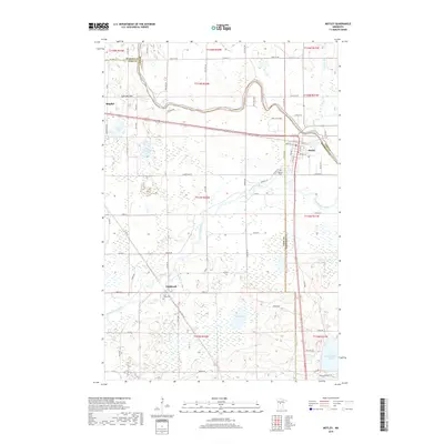
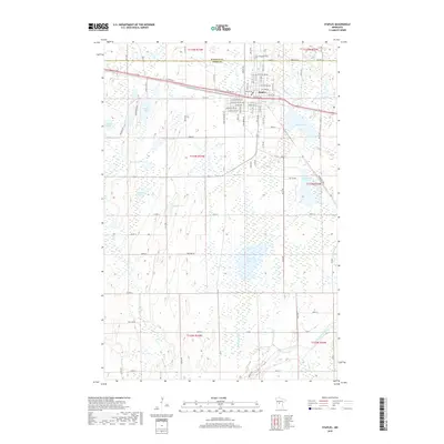
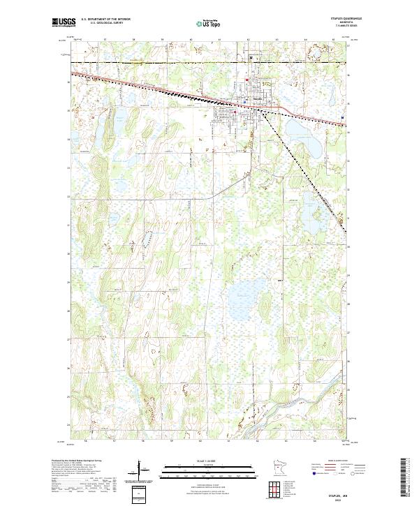 2022 Staples2022 Print · USGSIn the early twenty-first century, the town of Staples remains a crossroads on the border of Wadena and Todd counties. Local researchers can trace family landmarks and landscape changes from Evergreen Cem to the shores of Dower Lake and Rice Lake.
 - 2022 Map of Staples NE, 2022 Print
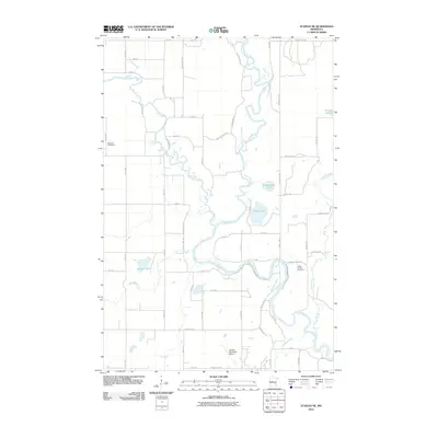
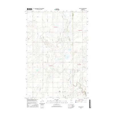
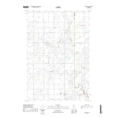
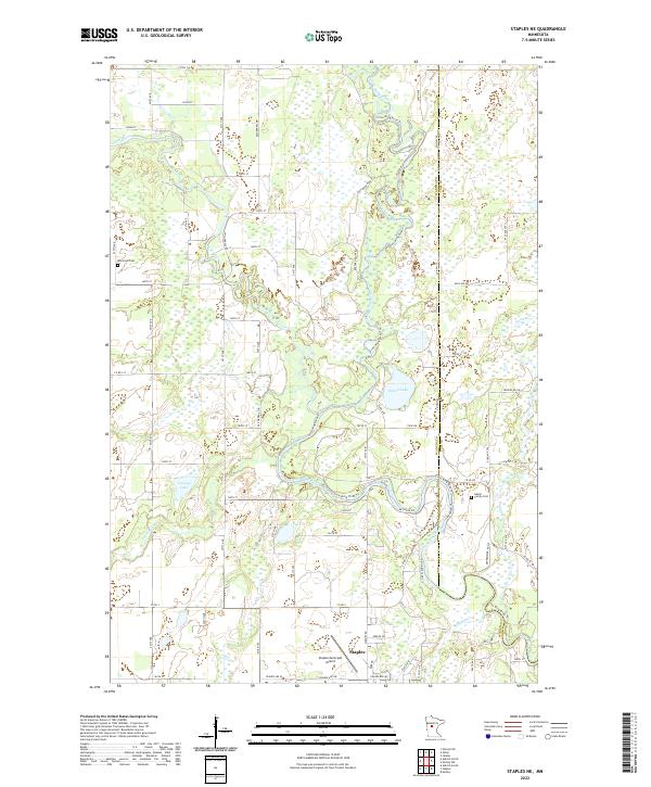 2022 Staples NE2022 Print · USGSThe confluence of the Crow Wing River and Leaf River systems defines this central Minnesota landscape in the early twenty-first century. Genealogists can trace family footprints at Montrose Cem or the Hallet Family Cem and locate landmarks near Staples.
End of results
Showing maps 1-15 of 15
Top cities near Staples
Frequently asked questions
- What are the different types of historical maps available for Staples?
- What is the oldest map of Staples?
- Where can I purchase historical maps of Staples for my home or office?
- Where can I download high-res historical maps of Staples?
- Are there historical topographic maps available for Staples?
- Is there historical aerial imagery available for Staples?
- Where are historical maps of Staples sourced from?