Old Maps of Belgrade, Minnesota for Academic Research
Study the evolution of Belgrade with 17 high-resolution historic maps. Whether you're teaching, researching, or modeling changes in land use, these maps provide essential visual documentation of urban, environmental, and geographic change.
- Analyze long-term change: Track patterns in development, transportation, and natural features.
- Ideal for environmental or urban studies: Support academic projects with primary historical map data.
- Use in the classroom or lab: Educators and researchers rely on these maps to bring historical context to life.
These maps are a powerful tool for teaching, research, and visualizing how Belgrade has changed over the decades.
Belgrade, MN maps
(17)- 1953 Map of Saint Cloud, 1968 Print
 1953 Saint Cloud1968 Print · USGSCentral Minnesota's lake country and the Mississippi River valley are caught in a period of steady mid-century growth. Researchers can trace historic rail lines, old granite works, and local landmarks like St. Johns University, Camp Ripley, and the shores of Lake Minnewaska.3 unique versions available
 - 1957 Map of Saint Cloud
 1957 Saint Cloud1957 Print · USGSCentral Minnesota's lake country and rail corridors are meticulously detailed in the mid-1950s. Genealogists and researchers can trace the growth of towns like Alexandria, Willmar, and Saint Cloud along the Great Northern railroad line.
 - 1958 Map of Saint Cloud
 1958 Saint Cloud1958 Print · USGSCentral Minnesota in the mid-1950s shows a landscape of growing regional hubs and hundreds of glacial lakes connected by an extensive rail network. Genealogists and historians can trace the early footprints of Saint Cloud, Alexandria, and Willmar along the Great Northern Railway.
 - 1967 Map of Belgrade, 1968 Print
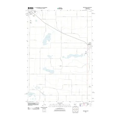
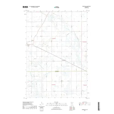
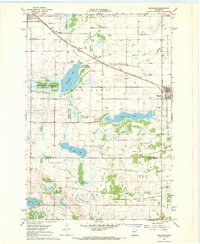 1967 Belgrade1968 Print · USGSCentral Minnesota's prairie and wetlands are mapped here in the late sixties, highlighting the agrarian development between Brooten and Belgrade. Genealogists can trace local roots through sites like St Donatus Cem, Crow Lake Ch, and the Soo Line rail corridor.2 unique versions available
 - 1967 Map of Georgeville, 1969 Print
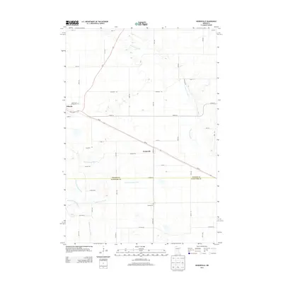
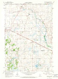 1967 Georgeville1969 Print · USGSStearns and Kandiyohi counties are captured in the late sixties at a time when rail and river dominated the rural landscape. Genealogists and local historians can trace the SOO LINE through Belgrade or locate family sites at St Francis de Sales Cem and Gandal Cem.
 - 1986 Map of Litchfield
 1986 Litchfield1986 Print · USGSCentral Minnesota in the mid-eighties was a landscape of conservation and transport, where the Burlington Northern rail line connected thriving lake towns. Genealogists and historians can trace old townships and landmarks like St Nicholas, Forest City, and School House Lake.2 unique versions available
 - 1986 Map of Willmar
 1986 Willmar1986 Print · USGSWest-central Minnesota in the mid-eighties was a landscape of rail-dependent prairie towns and extensive waterfowl conservation areas. Researchers can trace the path of the Burlington Northern through Kerkhoven or explore the lake-dotted terrain of Sibley State Park.2 unique versions available
 - 2010 Map of Georgeville, 2010 Print
 2010 Georgeville2010 Print · USGSCovers Belgrade, including Georgeville, Stearns County, and other nearby areas
 - 2010 Map of Belgrade, 2010 Print
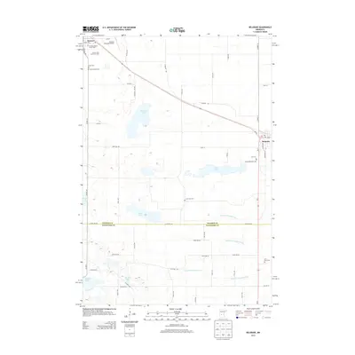
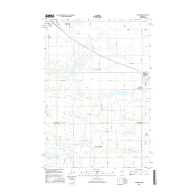
 2010 Belgrade2010 Print · USGSCovers Belgrade, including Brooten, Stearns County, and other nearby areas
 - 2013 Map of Georgeville, 2013 Print
 2013 Georgeville2013 Print · USGSCovers Belgrade, including Georgeville, Stearns County, and other nearby areas
 - 2013 Map of Belgrade, 2013 Print
 2013 Belgrade2013 Print · USGSCovers Belgrade, including Brooten, Stearns County, and other nearby areas
 - 2016 Map of Georgeville, 2016 Print
 2016 Georgeville2016 Print · USGSCovers Belgrade, including Georgeville, Stearns County, and other nearby areas
 - 2016 Map of Belgrade, 2016 Print
 2016 Belgrade2016 Print · USGSCovers Belgrade, including Brooten, Stearns County, and other nearby areas
 - 2019 Map of Belgrade, 2019 Print
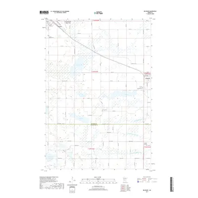 2019 Belgrade2019 Print · USGSCovers Belgrade, including Brooten, Stearns County, and other nearby areas
 - 2019 Map of Georgeville, 2019 Print
 2019 Georgeville2019 Print · USGSCovers Belgrade, including Georgeville, Stearns County, and other nearby areas
 - 2022 Map of Georgeville, 2022 Print
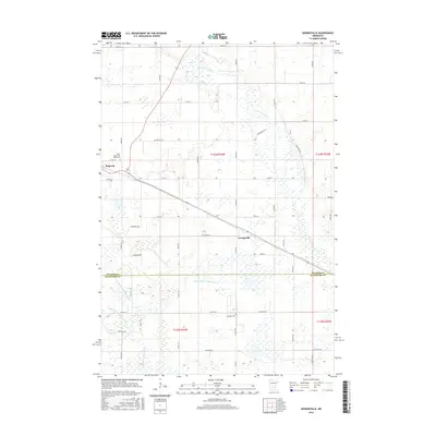
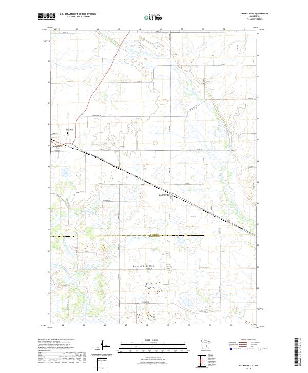 2022 Georgeville2022 Print · USGSStearns and Kandiyohi Counties appear here in the early twenty-first century, showing a landscape defined by the forks of the Crow River. Genealogists can locate Saint Francis De Sales Cem and Gausdal Lutheran Cem near the towns of Belgrade and Georgeville.
 - 2022 Map of Belgrade, 2022 Print
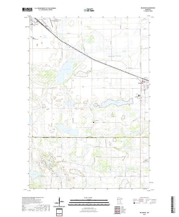 2022 Belgrade2022 Print · USGSThe rural prairie landscape of Stearns and Kandiyohi counties comes alive in this 2022 survey of Belgrade and Brooten. Researchers can trace local lineage across several burial grounds, including Union Cem, Zion Cem, and Saint Donatus Cem.
End of results
Showing maps 1-17 of 17
Top cities near Belgrade
- Melrose historical maps
- New London historical maps
- Spicer historical maps
- Brooten historical maps
- Norway Lake historical maps
- Grove Lake historical maps
See more
Frequently asked questions
- What are the different types of historical maps available for Belgrade?
- What is the oldest map of Belgrade?
- Where can I purchase historical maps of Belgrade for my home or office?
- Where can I download high-res historical maps of Belgrade?
- Are there historical topographic maps available for Belgrade?
- Is there historical aerial imagery available for Belgrade?
- Where are historical maps of Belgrade sourced from?