Old Maps of Browns Valley, Minnesota for Academic Research
Study the evolution of Browns Valley with 12 high-resolution historic maps. Whether you're teaching, researching, or modeling changes in land use, these maps provide essential visual documentation of urban, environmental, and geographic change.
- Analyze long-term change: Track patterns in development, transportation, and natural features.
- Ideal for environmental or urban studies: Support academic projects with primary historical map data.
- Use in the classroom or lab: Educators and researchers rely on these maps to bring historical context to life.
These maps are a powerful tool for teaching, research, and visualizing how Browns Valley has changed over the decades.
Browns Valley, MN maps
(12)- 1916 Map of Peever, 1954 Print
 1916 Peever1954 Print · USGSThe borderlands of South Dakota and Minnesota come alive in this survey of the early twentieth century. Genealogists and local historians can trace the paths of the Great Northern railroad and locate rural landmarks like Windom School, Peever, and the Erdman School.
 - 1918 Map of Peever
 1918 Peever1918 Print · USGSThe borderlands of South Dakota and Minnesota are captured here during the First World War, centered on the strategic divide at Browns Valley. Genealogists and local historians can trace rural school locations like Morehead School and Becker School alongside the tracks of the Great Northern railroad.4 unique versions available
 - 1953 Map of Milbank, 1958 Print
 1953 Milbank1958 Print · USGSThe tri-state border region of South Dakota, North Dakota, and Minnesota is shown here during the early fifties, a landscape defined by glacial lakes and the Sisseton Indian Reservation. Researchers can trace the legacy of the western railroads, locating old stops along the Great Northern and settlements like Milbank, Webster, and Sisseton.3 unique versions available
 - 1958 Map of Milbank
 1958 Milbank1958 Print · USGSThe northern Great Plains in the late fifties show a landscape of glacial lakes and reservation lands shaped by the Great Northern railroad. Genealogists and local historians can trace the grid of settlements from Britton to Milbank and locate landmarks like Enemy Swim Lake and the Sisseton Indian Reservation.
 - 1971 Map of Browns Valley, 1974 Print
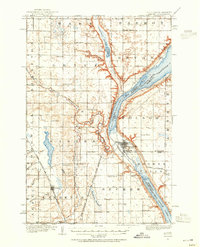
 1971 Browns Valley1974 Print · USGSBrowns Valley occupied this critical continental divide in the early seventies, positioned between two major reservoirs at the Minnesota-South Dakota border. Researchers can trace the rail-and-water geography of the era, locating the Burlington Northern line, the Valley View Cem, and the Townhall.
 - 1977 Map of Browns Valley, 1979 Print
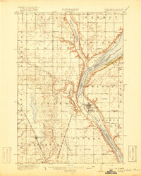
 1977 Browns Valley1979 Print · USGSBrowns Valley occupies a unique position on the Continental Divide in the late seventies. Family historians and land researchers can trace the town layout and the precise banks of Big Stone Lake, Lake Traverse, and the Little Minnesota River.
 - 1985 Map of Wheaton
 1985 Wheaton1985 Print · USGSThe tri-state border region of Minnesota and the Dakotas is captured in the mid-1980s, defined by its prairie wetlands and rail-fed farming towns. Researchers can trace the Burlington Northern line through Wheaton and Graceville or locate family-named landmarks like Carlson Island.2 unique versions available
 - 2010 Map of Browns Valley, 2010 Print
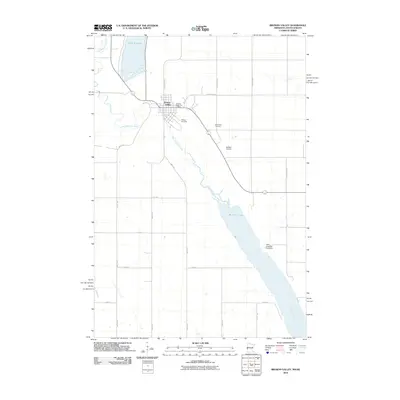 2010 Browns Valley2010 Print · USGSCovers Browns Valley, including Lake Traverse District, Traverse County, and other nearby areas
 - 2013 Map of Browns Valley, 2013 Print
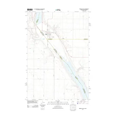 2013 Browns Valley2013 Print · USGSCovers Browns Valley, including Lake Traverse District, Traverse County, and other nearby areas
 - 2016 Map of Browns Valley, 2016 Print
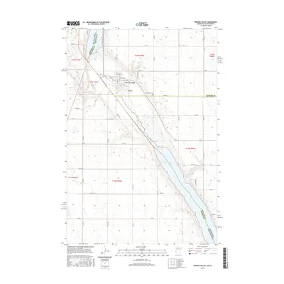 2016 Browns Valley2016 Print · USGSCovers Browns Valley, including Lake Traverse District, Traverse County, and other nearby areas
 - 2019 Map of Browns Valley, 2019 Print
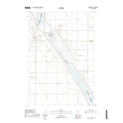 2019 Browns Valley2019 Print · USGSCovers Browns Valley, including Lake Traverse District, Traverse County, and other nearby areas
 - 2022 Map of Browns Valley, 2022 Print
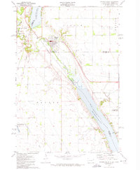
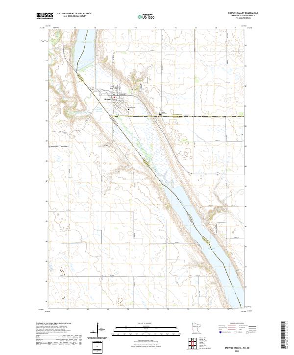 2022 Browns Valley2022 Print · USGSBrowns Valley sits at a historic continental divide in the early twenty-first century, where ancient glacial pathways meet modern state lines. Researchers can trace the town's geography from Plateau Cem down to the shores of Big Stone Lake and Lake Traverse.
End of results
Showing maps 1-12 of 12
Top cities near Browns Valley
- Sisseton historical maps
- Wilmot historical maps
- Beardsley historical maps
- Peever historical maps
- Old Agency District historical maps
- Spring Grove historical maps
See more
Frequently asked questions
- What are the different types of historical maps available for Browns Valley?
- What is the oldest map of Browns Valley?
- Where can I purchase historical maps of Browns Valley for my home or office?
- Where can I download high-res historical maps of Browns Valley?
- Are there historical topographic maps available for Browns Valley?
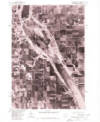
- Is there historical aerial imagery available for Browns Valley?
- Where are historical maps of Browns Valley sourced from?