Old Maps of Newport, Minnesota for Metal Detecting
Plan your next treasure hunt with 39 historic maps of Newport. Find old homesites, ghost towns, trails, and gathering spots that may be lost to time — perfect for identifying promising metal detecting locations.
- Locate forgotten sites: Uncover places like long-lost settlements, abandoned rail lines, or gathering spots.
- Plan better hunts: Use map overlays combined with LiDAR or satellite views to narrow in on historically rich areas.
- Made for detectorists: Thousands of hobbyists use these maps to discover relics, coins, and hidden history.
Use these historic maps to boost your research and find new opportunities beneath the surface of Newport.
Newport, MN maps
(39)- 1896 Map of St. Paul
 1896 St. Paul1896 Print · USGSSt. Paul and the surrounding river townships are captured in the mid-1890s during a period of massive railroad and urban expansion. Genealogists and historians can trace the early footprints of Mendota, South St. Paul, and St. Anthony Park along with the grounds of Fort Snelling.11 unique versions available
 - 1946 Map of Hudson, 1954 Print
 1946 Hudson1954 Print · USGSThe riverfront communities of the St. Croix Valley are captured here just after the war, showing the distinct border towns of Wisconsin. Genealogists and local historians can trace the streets and benchmarks of Hudson, North Hudson, and Prescott.
 - 1949 Map of Hudson
 1949 Hudson1949 Print · USGSThe riverfront communities of St. Croix and Pierce counties are captured here in the late 1940s as the rail-and-river economy flourished. Genealogists and historians can trace the paths of the Chicago St Paul Minneapolis and Omaha line through Hudson and down to the river junction at Prescott.
 - 1949 Map of Lake Elmo, 1958 Print
 1949 Lake Elmo1958 Print · USGSWashington County at the end of the 1940s is a landscape of rural schoolhouses and pristine glacial lakes. Researchers can locate numerous local landmarks like Union Cem, St John Sch, and the Chicago and North Western rail line.
 - 1950 Map of Lake Elmo
 1950 Lake Elmo1950 Print · USGSThe townships of Oakdale and Woodbury are captured in the mid-fifties, showing a landscape of small lakes and rural schoolhouses. Genealogists can trace family roots at Union Cem or locate historic school sites like Gillie Sch and Salem Sch.2 unique versions available
 - 1950 Map of St Paul Park, 1962 Print
 1950 St Paul Park1962 Print · USGSThe Mississippi River valley south of St. Paul is captured here at mid-century, showing the rail-dependent corridor between Newport and Nininger. Researchers can trace the legacy of local families through the Cottage Grove Cem and Sunny Hill Sch.
 - 1951 Map of St Paul Park
 1951 St Paul Park1951 Print · USGSSoutheast of the Twin Cities in the early 1950s, the river and rail lines dictated the growth of towns along the Mississippi. Researchers can trace family sites at Grey Cloud Cem, follow the rail junction at Langdon, or locate the historic riverfront settlement of Nininger.2 unique versions available
 - 1951 Map of Inver Grove, 1953 Print
 1951 Inver Grove1953 Print · USGSThe Mississippi River valley south of St. Paul is documented here just as the post-war era began reshaping the Dakota County countryside. Researchers can trace the legacy of local education and faith at Rosemount Sch, St Patrick Cem, and the historic Pine Bend settlement.3 unique versions available
 - 1951 Map of St. Paul East, 1953 Print
 1951 St. Paul East1953 Print · USGSSaint Paul during the early fifties reveals a thriving river-and-rail hub anchored by the State Capitol and a dense network of neighborhoods. Researchers can trace the mid-century city layout, from institutional landmarks like Gillette State Hospital to the industrial Stock Yards and Holman Airport.2 unique versions available
 - 1951 Map of St. Paul, 1959 Print
 1951 St. Paul1959 Print · USGSThe Twin Cities region during the post-war boom shows the rapid growth of St Paul and Minneapolis toward their southern suburbs. Genealogists and historians can trace numerous rural landmarks like School No 73, Roselawn Cemetery, and the St Johns Cem before suburban sprawl fully arrived.2 unique versions available
 - 1953 Map of Saint Paul, 1964 Print
 1953 Saint Paul1964 Print · USGSThe Twin Cities and the Mississippi River valley are captured here at a mid-century turning point. Trace the early growth of Minneapolis and Saint Paul alongside landmarks like Lake Minnetonka and the St Croix River.4 unique versions available
 - 1959 Map of Saint Paul
 1959 Saint Paul1959 Print · USGSThe Twin Cities and southeastern Minnesota appear here in the late fifties, showing the peak of the rail era and post-war suburban growth. Genealogists can trace family footprints near Lake Minnetonka, the Univ Of Minn Rosemount Research Center, or the growing neighborhoods of Richfield.2 unique versions available
 - 1967 Map of Inver Grove Heights, 1969 Print
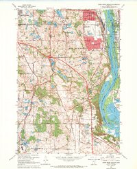 1967 Inver Grove Heights1969 Print · USGSThe Mississippi River corridor south of the Twin Cities thrives in the late sixties as rail and river industry meet. Trace family roots at Union Cem and St Patricks Ch, or explore the mid-century footprint of South St Paul and Wescott.4 unique versions available
 - 1967 Map of St Paul Park, 1969 Print
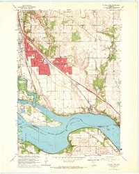 1967 St Paul Park1969 Print · USGSThe riverfront communities of Washington County are shown here in the late sixties as suburban growth meets traditional river industry. Local historians can trace early settlements and transport hubs like Langdon, Nininger, and the St Paul-Park Airport.5 unique versions available
 - 1967 Map of St. Paul East, 1969 Print
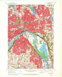 1967 St. Paul East1969 Print · USGSThe Twin Cities region shows its mid-century industrial and civic expansion in this survey of the riverfront and downtown core. Researchers can trace the development of neighborhood institutions like Oakland Cemetery, the Stockyards in South St. Paul, and the St Paul Cathedral.5 unique versions available
 - 1967 Map of Lake Elmo, 1969 Print
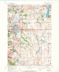 1967 Lake Elmo1969 Print · USGSWashington County undergoes a post-war suburban transformation in the late sixties as new developments rise near the Twin Cities. Researchers can trace local genealogy and land use through Union Cem, St John Ch, and the many schools like Royal Oak Sch.4 unique versions available
 - 1985 Map of Saint Paul
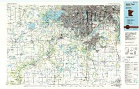 1985 Saint Paul1985 Print · USGSThe Twin Cities metropolitan area and its southern suburbs are captured here in the mid-eighties as the urban landscape expanded toward the Minnesota River. Researchers can trace the layout of the Fort Snelling Military Reservation, find local landmarks like St Benedict Church, and study the rail routes of the Soo Line.2 unique versions available
 - 1985 Map of Hastings
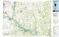 1985 Hastings1985 Print · USGSThe river valleys of the St. Croix and Mississippi dominate this mid-eighties landscape as they border Minnesota and Wisconsin. You can trace the boundaries of the Prairie Island Indian Res, find the old rail alignments of the SOO LINE, and locate remote bluffs like Rattlesnake Point.
 - 1990 Map of Hastings, 1991 Print
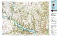 1990 Hastings1991 Print · USGSThe river confluence at Hastings and Prescott is captured here in the final decade of the twentieth century, showing a landscape defined by the Mississippi River and St Croix River. Genealogists and historians can trace rail corridors like the Soo RR and find smaller settlements such as Miesville, Wacouta, and Diamond Bluff.
 - 2010 Map of Saint Paul Park, 2010 Print
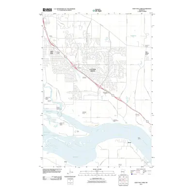 2010 Saint Paul Park2010 Print · USGSThe suburbs of Cottage Grove meet the islands and backwaters of the Mississippi River in this 2010 topographic survey. Researchers can trace numerous local burial grounds like Newport Cemetery or locate riverfront landmarks such as the Winners Landing Seaplane Base.
 - 2010 Map of Lake Elmo, 2010 Print
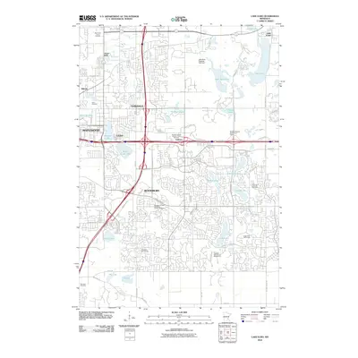 2010 Lake Elmo2010 Print · USGSWoodbury and the surrounding Washington County suburbs are shown in a period of significant development during the early twenty-first century. Researchers can locate numerous local burial sites and landmarks, including Union Cemetery, Red Rock Cemetery, and the Guardian Angels Catholic Church.
 - 2010 Map of Inver Grove Heights, 2010 Print
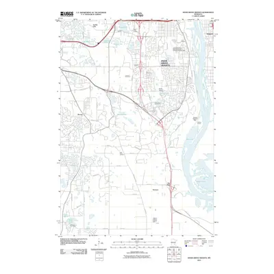 2010 Inver Grove Heights2010 Print · USGSInver Grove Heights and the Mississippi River corridor appear at a time of significant suburban and industrial expansion. Researchers can trace local lineage through several sites like Saint Patrick Cemetery or locate the historic center of Wescott near the riverfront.
 - 2010 Map of Saint Paul East, 2010 Print
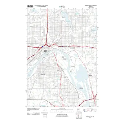 2010 Saint Paul East2010 Print · USGSSaint Paul and its southern neighbors show a landscape of dense urban growth and industrial riverfront development at the start of the 2010s. Genealogists can locate historic burial grounds like Oakland Cemetery or trace the old library records at the James Hill Reference Library.
 - 2013 Map of Lake Elmo, 2013 Print
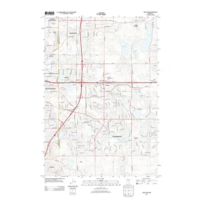 2013 Lake Elmo2013 Print · USGSWoodbury and Oakdale are captured during a decade of rapid suburban growth east of the Mississippi. Genealogists and local historians can trace legacy sites like Union Cem, Saint John's Lutheran Cem, and the iconic Vali-Hi Drive-In.
 - 2013 Map of Saint Paul Park, 2013 Print
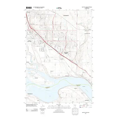 2013 Saint Paul Park2013 Print · USGSThe Mississippi River corridor south of Saint Paul is captured here during a period of steady suburban growth. Researchers can trace historic burial sites like Atkinson Cem and Cottage Grove Cem or locate the old riverfront settlement of Nininger.
Showing maps 1-25 of 39
Top cities near Newport
- Minneapolis historical maps
- Saint Paul historical maps
- Bloomington historical maps
- Woodbury historical maps
- Eagan historical maps
- Burnsville historical maps
See more
Frequently asked questions
- What are the different types of historical maps available for Newport?
- What is the oldest map of Newport?
- Where can I purchase historical maps of Newport for my home or office?
- Where can I download high-res historical maps of Newport?
- Are there historical topographic maps available for Newport?
- Is there historical aerial imagery available for Newport?
- Where are historical maps of Newport sourced from?