2000s (21st Century) Maps of Rockford Township, Minnesota
Explore 30 historic maps of Rockford Township from the 2000s (21st Century). These maps offer a rare glimpse into what life looked like during the 2000s — showing old roads, neighborhoods, homes, and landmarks that have changed or disappeared over time.
Whether you're researching your family's past, planning a metal detecting trip, or studying how Rockford Township's landscape evolved across the 2000s, these high-resolution maps are a powerful tool for exploring the history of this region.
- Focus on a specific era: All maps on this page are from the 2000s, giving you a focused view of this time period.
- See what’s changed: Compare century-old streets, trails, and buildings to today's modern landscape using overlays and satellite layers.
- Research with precision: Use these maps for genealogy, historical research, land use analysis, or educational projects.
- View, download, or print: Maps are fully viewable online in high resolution, and can be downloaded or printed for your own records.
Start exploring Rockford Township's history through authentic maps from the 2000s. This is your window into the past.
Rockford Township, MN maps
(30)- 2010 Map of Rockford, 2010 Print
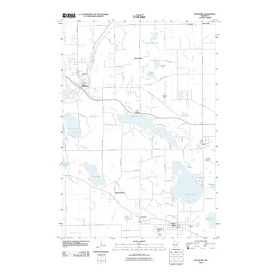 2010 Rockford2010 Print · USGSCovers Rockford Township, including Orono, Corcoran, and other nearby areas
 - 2010 Map of Saint Michael, 2010 Print
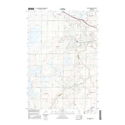
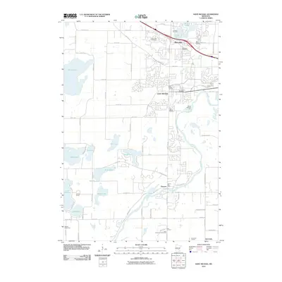 2010 Saint Michael2010 Print · USGSCovers Rockford Township, including St. Michael, Saint Michael, and other nearby areas
 - 2010 Map of Waverly, 2010 Print
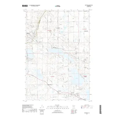
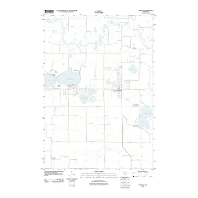 2010 Waverly2010 Print · USGSCovers Rockford Township, including Montrose, Waverly, and other nearby areas
 - 2010 Map of Delano, 2010 Print
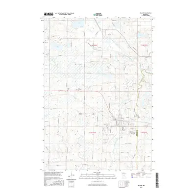
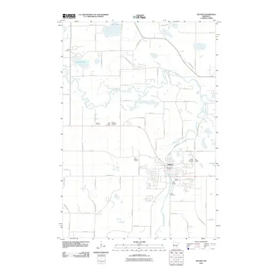 2010 Delano2010 Print · USGSCovers Rockford Township, including Delano, Rockford, and other nearby areas
 - 2010 Map of Buffalo East, 2010 Print
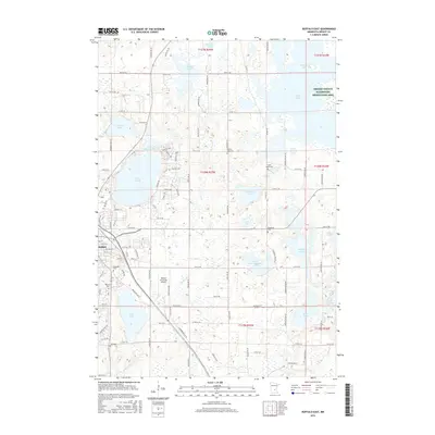
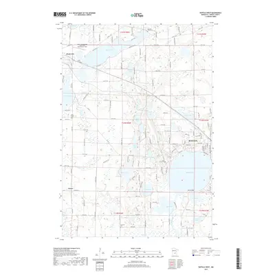
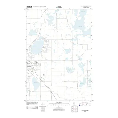 2010 Buffalo East2010 Print · USGSCovers Rockford Township, including St. Michael, Buffalo, and other nearby areas
 - 2010 Map of Buffalo West, 2010 Print
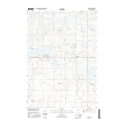
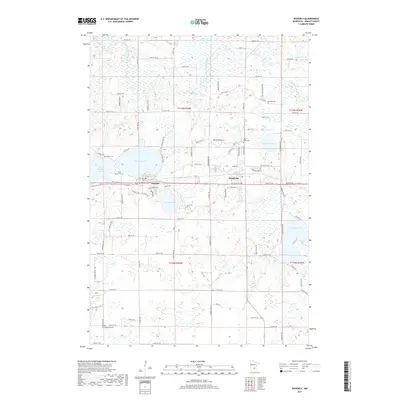
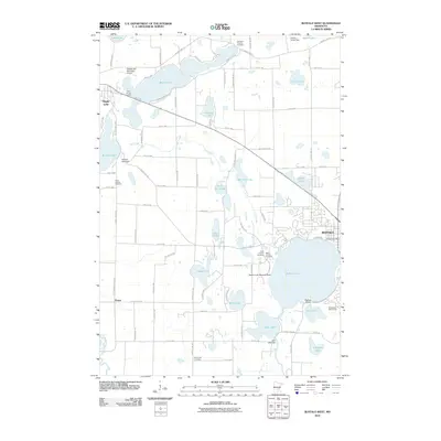 2010 Buffalo West2010 Print · USGSCovers Rockford Township, including Buffalo, Maple Lake, and other nearby areas
 - 2013 Map of Saint Michael, 2013 Print
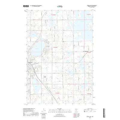
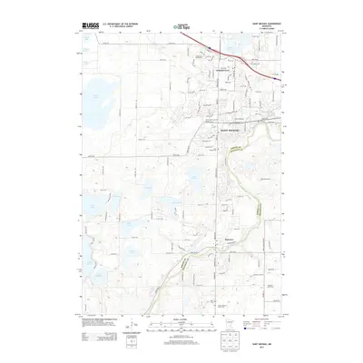 2013 Saint Michael2013 Print · USGSCovers Rockford Township, including St. Michael, Saint Michael, and other nearby areas
 - 2013 Map of Rockford, 2013 Print
 2013 Rockford2013 Print · USGSCovers Rockford Township, including Orono, Corcoran, and other nearby areas
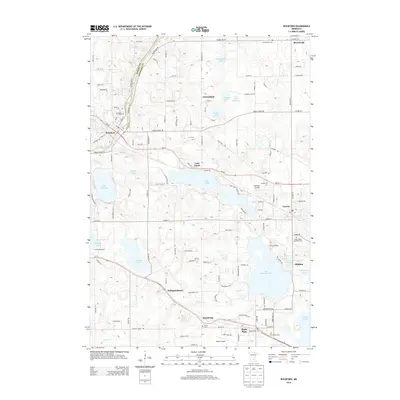
 - 2013 Map of Delano, 2013 Print
 2013 Delano2013 Print · USGSCovers Rockford Township, including Delano, Rockford, and other nearby areas
 - 2013 Map of Buffalo West, 2013 Print
 2013 Buffalo West2013 Print · USGSCovers Rockford Township, including Buffalo, Maple Lake, and other nearby areas
 - 2013 Map of Buffalo East, 2013 Print
 2013 Buffalo East2013 Print · USGSCovers Rockford Township, including St. Michael, Buffalo, and other nearby areas
 - 2013 Map of Waverly, 2013 Print
 2013 Waverly2013 Print · USGSCovers Rockford Township, including Montrose, Waverly, and other nearby areas
 - 2016 Map of Delano, 2016 Print
 2016 Delano2016 Print · USGSCovers Rockford Township, including Delano, Rockford, and other nearby areas
 - 2016 Map of Buffalo East, 2016 Print
 2016 Buffalo East2016 Print · USGSCovers Rockford Township, including St. Michael, Buffalo, and other nearby areas
 - 2016 Map of Waverly, 2016 Print
 2016 Waverly2016 Print · USGSCovers Rockford Township, including Montrose, Waverly, and other nearby areas
 - 2016 Map of Saint Michael, 2016 Print
 2016 Saint Michael2016 Print · USGSCovers Rockford Township, including St. Michael, Saint Michael, and other nearby areas
 - 2016 Map of Rockford, 2016 Print
 2016 Rockford2016 Print · USGSCovers Rockford Township, including Orono, Corcoran, and other nearby areas
 - 2016 Map of Buffalo West, 2016 Print
 2016 Buffalo West2016 Print · USGSCovers Rockford Township, including Buffalo, Maple Lake, and other nearby areas
 - 2019 Map of Delano, 2019 Print
 2019 Delano2019 Print · USGSCovers Rockford Township, including Delano, Rockford, and other nearby areas
 - 2019 Map of Saint Michael, 2019 Print
 2019 Saint Michael2019 Print · USGSCovers Rockford Township, including St. Michael, Saint Michael, and other nearby areas
 - 2019 Map of Rockford, 2019 Print
 2019 Rockford2019 Print · USGSCovers Rockford Township, including Orono, Corcoran, and other nearby areas
 - 2019 Map of Buffalo West, 2019 Print
 2019 Buffalo West2019 Print · USGSCovers Rockford Township, including Buffalo, Maple Lake, and other nearby areas
 - 2019 Map of Waverly, 2019 Print
 2019 Waverly2019 Print · USGSCovers Rockford Township, including Montrose, Waverly, and other nearby areas
 - 2019 Map of Buffalo East, 2019 Print
 2019 Buffalo East2019 Print · USGSCovers Rockford Township, including St. Michael, Buffalo, and other nearby areas
 - 2022 Map of Delano, 2022 Print
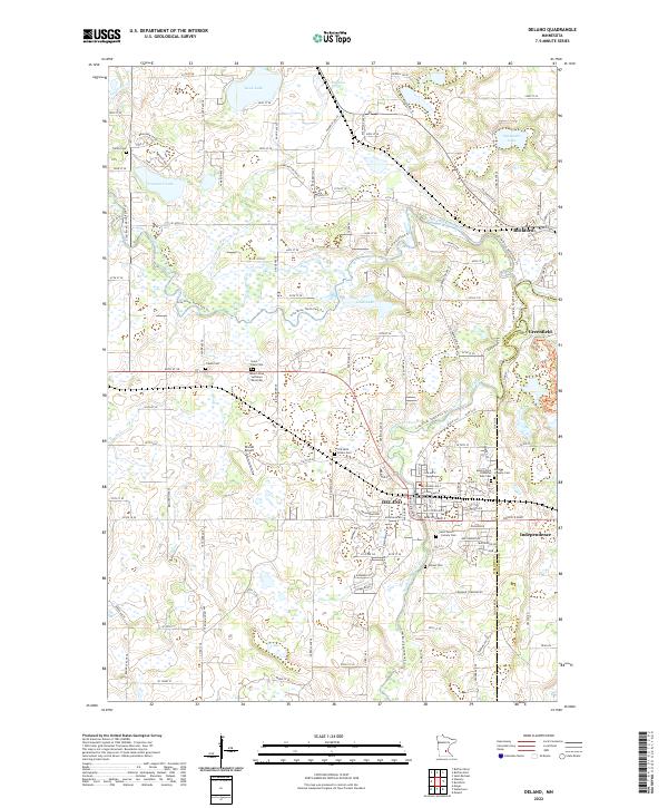 2022 Delano2022 Print · USGSThe river forks of Wright and Hennepin counties come into focus in this modern era survey of the Crow River valley. Genealogists can trace family lineages across nearly a dozen sites including Old Saint Peters, Cassel Cem, and the Delano Cem.
Showing maps 1-25 of 30
Top cities near Rockford Township
- Chanhassen historical maps
- Elk River historical maps
- St. Michael historical maps
- Saint Michael historical maps
- Buffalo historical maps
- Rogers historical maps
See more
Frequently asked questions
- What are the different types of historical maps available for Rockford Township?
- What is the oldest map of Rockford Township?
- Where can I purchase historical maps of Rockford Township for my home or office?
- Where can I download high-res historical maps of Rockford Township?
- Are there historical topographic maps available for Rockford Township?
- Is there historical aerial imagery available for Rockford Township?
- Where are historical maps of Rockford Township sourced from?