Old Maps of Kendrick, Mississippi for Genealogy
Trace your family roots with 13 historic maps of Kendrick. These high-res maps reveal old neighborhoods, homesites, landmarks, and streets — helping you uncover where your ancestors lived and how the area evolved over time.
- Explore historic neighborhoods: Identify where your relatives may have lived in the 1800s or 1900s.
- Compare maps over time: Trace the changes in streets, buildings, and landmarks for multi-generational research.
- Perfect for genealogy & ancestry research: Used by family historians and researchers to map out lineage and migration.
These maps are an incredible resource for exploring your personal connection to Kendrick's past.
Kendrick, MS maps
(13)- 1936 Map of Kendrick
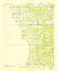 1936 Kendrick1936 Print · USGSAlcorn County and the Tennessee borderlands are captured here in the mid-1930s as the TVA began modernizing the region. Local historians can trace family roots through sites like Barnes Chapel, Field Sch, and the community of Kendrick.
 - 1950 Map of Kendrick, 1953 Print
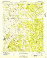 1950 Kendrick1953 Print · USGSThe Mississippi-Tennessee borderlands in the mid-twentieth century show a landscape of rural schools and rail intersections. Genealogists can trace family names at Marvin Cem and Wyly Cem, or locate lost landmarks like McGlathery Sch and Fraley Chapel.3 unique versions available
 - 1956 Map of Tupelo, 1967 Print
 1956 Tupelo1967 Print · USGSNortheast Mississippi and parts of Tennessee and Alabama are shown here during the mid-fifties, a time of major reservoir construction and forestry management. Researchers can trace the St Louis-San Francisco RR through Tupelo or locate historic sites like Tishomingo State Park and the University.2 unique versions available
 - 1958 Map of Tupelo
 1958 Tupelo1958 Print · USGSNortheast Mississippi and neighboring Alabama and Tennessee appear here during the late fifties as a region defined by new reservoirs and historic rail lines. Genealogists can trace family locations near Sardis Lake, Woodall Mountain, and the St Louis-San Francisco Ry.
 - 1984 Map of Corinth
 1984 Corinth1984 Print · USGSNortheast Mississippi and its borders with Alabama and Tennessee are captured here in the mid-1980s, showcasing a landscape of rail-connected towns and ridge-top settlements. Researchers can trace the path of the Natchez Trace Parkway or locate family-named landmarks near Biggersville, Kossuth, and the historic Tennessee Divide.
 - 1984 Map of Tupelo
 1984 Tupelo1984 Print · USGSNorth Mississippi in the 1980s is defined by its massive river basin reservoirs and the growing regional hubs of Tupelo and Oxford. Researchers can trace the legacy of the Pontotoc Ridge, find the University of Mississippi, and map early Interstate corridors near Sardis Lake.3 unique versions available
 - 1994 Map of Corinth
 1994 Corinth1994 Print · USGSNortheast Mississippi and the Tennessee borderlands are captured in the mid-1990s as the region's modern industrial and recreational landscape took shape. Genealogists and historians can trace rail-to-river connections through Corinth, the old courthouse at Jacinto, and the route of the Natchez Trace Parkway.
 - 2010 Map of Kendrick, 2010 Print
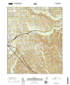
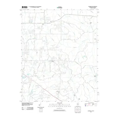 2010 Kendrick2010 Print · USGSCovers Kendrick, including Corinth, Farmington, and other nearby areas
 - 2012 Map of Kendrick, 2012 Print
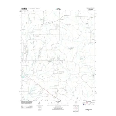 2012 Kendrick2012 Print · USGSCovers Kendrick, including Corinth, Farmington, and other nearby areas
 - 2015 Map of Kendrick, 2015 Print
 2015 Kendrick2015 Print · USGSCovers Kendrick, including Corinth, Farmington, and other nearby areas
 - 2018 Map of Kendrick, 2018 Print
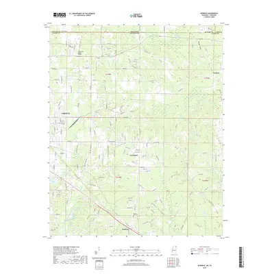 2018 Kendrick2018 Print · USGSCovers Kendrick, including Corinth, Farmington, and other nearby areas
 - 2021 Map of Kendrick, 2021 Print
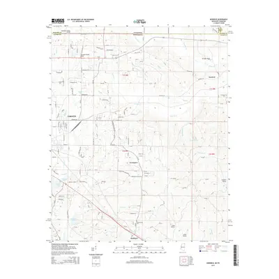
 2021 Kendrick2021 Print · USGSCovers Kendrick, including Corinth, Farmington, and other nearby areas
 - 2024 Map of Kendrick, 2024 Print
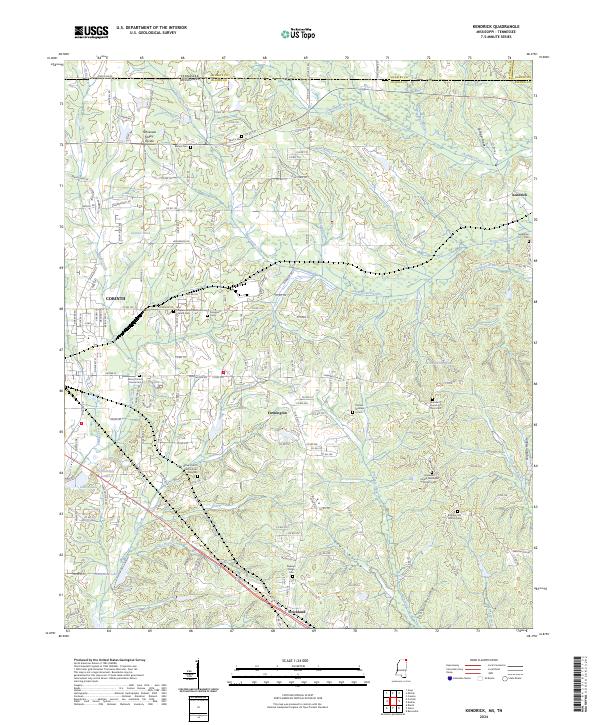 2024 Kendrick2024 Print · USGSAlcorn County, Mississippi, and McNairy County, Tennessee, meet in this modern landscape where the Tennessee Valley Divide defines the watershed. Researchers can trace historic local sites like Wiley Grove Church Cem African American, Kendrick, and the southern reaches of Shiloh National Battlefield.
End of results
Showing maps 1-13 of 13
Top cities near Kendrick
- Corinth historical maps
- Savannah historical maps
- Selmer historical maps
- Iuka historical maps
- Farmington historical maps
- Crump historical maps
See more
Frequently asked questions
- What are the different types of historical maps available for Kendrick?
- What is the oldest map of Kendrick?
- Where can I purchase historical maps of Kendrick for my home or office?
- Where can I download high-res historical maps of Kendrick?
- Are there historical topographic maps available for Kendrick?
- Is there historical aerial imagery available for Kendrick?
- Where are historical maps of Kendrick sourced from?