Old Maps of Cessions Landing, Mississippi for Genealogy
Trace your family roots with 14 historic maps of Cessions Landing. These high-res maps reveal old neighborhoods, homesites, landmarks, and streets — helping you uncover where your ancestors lived and how the area evolved over time.
- Explore historic neighborhoods: Identify where your relatives may have lived in the 1800s or 1900s.
- Compare maps over time: Trace the changes in streets, buildings, and landmarks for multi-generational research.
- Perfect for genealogy & ancestry research: Used by family historians and researchers to map out lineage and migration.
These maps are an incredible resource for exploring your personal connection to Cessions Landing's past.
Cessions Landing, MS maps
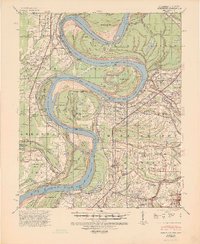
(14)- 1930 Map of Mellwood
 1930 Mellwood1930 Print · USGSCovers Cessions Landing, including Duncan, Deerfield, and other nearby areas
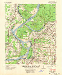
 - 1939 Map of Mellwood, 1946 Print
 1939 Mellwood1946 Print · USGSCovers Cessions Landing, including Duncan, Deerfield, and other nearby areas2 unique versions available
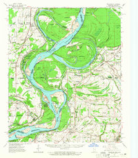
 - 1948 Map of Helena
 1948 Helena1948 Print · USGSCovers Cessions Landing, including Memphis, Southaven, and other nearby areas
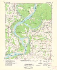
 - 1950 Map of Helena
 1950 Helena1950 Print · USGSCovers Cessions Landing, including Memphis, Southaven, and other nearby areas2 unique versions available
 - 1954 Map of Mellwood
 1954 Mellwood1954 Print · USGSCovers Cessions Landing, including Duncan, Deerfield, and other nearby areas
 - 1955 Map of Helena, 1967 Print
 1955 Helena1967 Print · USGSCovers Cessions Landing, including Memphis, Southaven, and other nearby areas2 unique versions available
 - 1959 Map of Helena
 1959 Helena1959 Print · USGSCovers Cessions Landing, including Memphis, Southaven, and other nearby areas
 - 1960 Map of Helena
 1960 Helena1960 Print · USGSCovers Cessions Landing, including Memphis, Southaven, and other nearby areas
 - 1961 Map of Mellwood, 1965 Print
 1961 Mellwood1965 Print · USGSCovers Cessions Landing, including Duncan, Deerfield, and other nearby areas
 - 1962 Map of Mellwood
 1962 Mellwood1962 Print · USGSCovers Cessions Landing, including Duncan, Deerfield, and other nearby areas
 - 1982 Map of Laconia
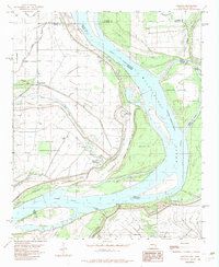 1982 Laconia1982 Print · USGSCovers Cessions Landing, including Deerfield, Lorays, and other nearby areas
 - 1984 Map of Clarksdale, 1985 Print
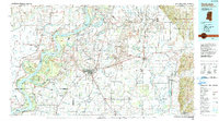
 1984 Clarksdale1985 Print · USGSCovers Cessions Landing, including Clarksdale, Helena-West Helena, and other nearby areas
 - 1990 Map of Clarksdale, 1991 Print
 1990 Clarksdale1991 Print · USGSCovers Cessions Landing, including Clarksdale, Helena-West Helena, and other nearby areas
 - 2024 Map of Laconia, 2024 Print
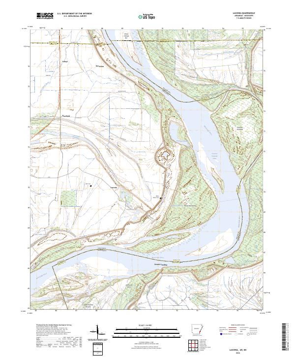 2024 Laconia2024 Print · USGSCovers Cessions Landing, including Dennis Landing, Mason Landing, and other nearby areas
End of results
Showing maps 1-14 of 14
Top cities near Cessions Landing
- Shelby historical maps
- Mound Bayou historical maps
- Elaine historical maps
- Duncan historical maps
- Winstonville historical maps
- Gunnison historical maps
See more
Frequently asked questions
- What are the different types of historical maps available for Cessions Landing?
- What is the oldest map of Cessions Landing?
- Where can I purchase historical maps of Cessions Landing for my home or office?
- Where can I download high-res historical maps of Cessions Landing?
- Are there historical topographic maps available for Cessions Landing?
- Is there historical aerial imagery available for Cessions Landing?
- Where are historical maps of Cessions Landing sourced from?