Old Maps of Bolivar County, Mississippi
Explore 60 old maps of Bolivar County, spanning from 1930 to today. These high-resolution historic maps reveal how streets, neighborhoods, landmarks, and natural features evolved over time — perfect for genealogy, metal detecting, research, and local history exploration.
What you can do with these maps:
- See how Bolivar County changed over time: Compare historical maps to modern-day views to trace roads, homesites, rail lines & more.
- View detailed metadata: Each map includes creators, publishers, year, scale, and archive source.
- Overlay maps with satellite & LiDAR: Visualize the past alongside modern tools to explore terrain & human change.
- Trusted historical sources: Maps sourced from the USGS, Library of Congress, and other archives.
- Access maps your way: View online, download high-res files, or order prints for personal or research use.
Start exploring old maps of Bolivar County to uncover forgotten places, hidden landmarks, and the deep history beneath your feet.
Bolivar County, MS maps
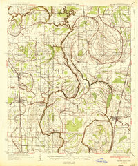
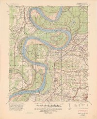
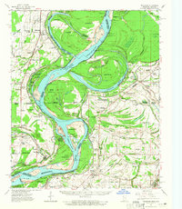
(60)- 1930 Map of Mellwood
 1930 Mellwood1930 Print · USGSCovers Bolivar County, including Duncan, Deerfield, and other nearby areas
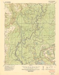
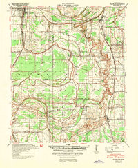
 - 1931 Map of Drew
 1931 Drew1931 Print · USGSCovers Bolivar County, including Cleveland, Drew, and other nearby areas
 - 1933 Map of Lamont
 1933 Lamont1933 Print · USGSCovers Bolivar County, including Benoit, Arkansas City, and other nearby areas
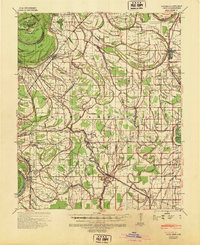
 - 1934 Map of Cleveland
 1934 Cleveland1934 Print · USGSCovers Bolivar County, including Cleveland, Ruleville, and other nearby areas2 unique versions available
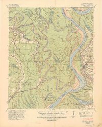
 - 1935 Map of Clarksdale
 1935 Clarksdale1935 Print · USGSCovers Bolivar County, including Clarksdale, Duncan, and other nearby areas2 unique versions available
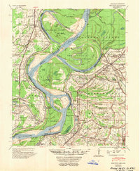
 - 1935 Map of Mound Bayou
 1935 Mound Bayou1935 Print · USGSCovers Bolivar County, including Cleveland, Drew, and other nearby areas2 unique versions available
 - 1939 Map of Henrico, 1941 Print
 1939 Henrico1941 Print · USGSCovers Bolivar County, including Sheppard Point, Stimson, and other nearby areas2 unique versions available
 - 1939 Map of Pace, 1942 Print
 1939 Pace1942 Print · USGSCovers Bolivar County, including Cleveland, Shelby, and other nearby areas2 unique versions available
 - 1939 Map of Clarksdale, 1943 Print
 1939 Clarksdale1943 Print · USGSCovers Bolivar County, including Clarksdale, Duncan, and other nearby areas
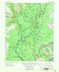
 - 1939 Map of Big Island, 1945 Print
 1939 Big Island1945 Print · USGSCovers Bolivar County, including Rosedale, Watson, and other nearby areas3 unique versions available
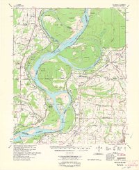
 - 1939 Map of Mellwood, 1946 Print
 1939 Mellwood1946 Print · USGSCovers Bolivar County, including Duncan, Deerfield, and other nearby areas2 unique versions available
 - 1939 Map of Lamont, 1961 Print
 1939 Lamont1961 Print · USGSCovers Bolivar County, including Benoit, Arkansas City, and other nearby areas3 unique versions available
 - 1939 Map of Choctaw, 1965 Print
 1939 Choctaw1965 Print · USGSCovers Bolivar County, including Cleveland, Shaw, and other nearby areas
 - 1940 Map of Cleveland, 1946 Print
 1940 Cleveland1946 Print · USGSCovers Bolivar County, including Cleveland, Ruleville, and other nearby areas
 - 1948 Map of Helena
 1948 Helena1948 Print · USGSCovers Bolivar County, including Memphis, Southaven, and other nearby areas
 - 1950 Map of Helena
 1950 Helena1950 Print · USGSCovers Bolivar County, including Memphis, Southaven, and other nearby areas2 unique versions available
 - 1953 Map of Greenwood, 1966 Print
 1953 Greenwood1966 Print · USGSCovers Bolivar County, including Greenville, Greenwood, and other nearby areas5 unique versions available
 - 1954 Map of Mellwood
 1954 Mellwood1954 Print · USGSCovers Bolivar County, including Duncan, Deerfield, and other nearby areas
 - 1954 Map of Henrico
 1954 Henrico1954 Print · USGSCovers Bolivar County, including Sheppard Point, Stimson, and other nearby areas
 - 1955 Map of Helena, 1967 Print
 1955 Helena1967 Print · USGSCovers Bolivar County, including Memphis, Southaven, and other nearby areas2 unique versions available
 - 1956 Map of Greenwood
 1956 Greenwood1956 Print · USGSCovers Bolivar County, including Greenville, Greenwood, and other nearby areas
 - 1959 Map of Helena
 1959 Helena1959 Print · USGSCovers Bolivar County, including Memphis, Southaven, and other nearby areas
 - 1960 Map of Helena
 1960 Helena1960 Print · USGSCovers Bolivar County, including Memphis, Southaven, and other nearby areas
 - 1961 Map of Mellwood, 1965 Print
 1961 Mellwood1965 Print · USGSCovers Bolivar County, including Duncan, Deerfield, and other nearby areas
 - 1962 Map of Mellwood
 1962 Mellwood1962 Print · USGSCovers Bolivar County, including Duncan, Deerfield, and other nearby areas
Showing maps 1-25 of 60
Top cities of Bolivar County
- Cleveland historical maps
- Shelby historical maps
- Mound Bayou historical maps
- Shaw historical maps
- Rosedale historical maps
- Boyle historical maps
See more
Frequently asked questions
- What are the different types of historical maps available for Bolivar County?
- What is the oldest map of Bolivar County?
- Where can I purchase historical maps of Bolivar County for my home or office?
- Where can I download high-res historical maps of Bolivar County?
- Are there historical topographic maps available for Bolivar County?
- Is there historical aerial imagery available for Bolivar County?
- Where are historical maps of Bolivar County sourced from?