Old Maps of Vardaman, Mississippi for Academic Research
Study the evolution of Vardaman with 17 high-resolution historic maps. Whether you're teaching, researching, or modeling changes in land use, these maps provide essential visual documentation of urban, environmental, and geographic change.
- Analyze long-term change: Track patterns in development, transportation, and natural features.
- Ideal for environmental or urban studies: Support academic projects with primary historical map data.
- Use in the classroom or lab: Educators and researchers rely on these maps to bring historical context to life.
These maps are a powerful tool for teaching, research, and visualizing how Vardaman has changed over the decades.
Vardaman, MS maps
(17)- 1953 Map of West Point, 1973 Print
 1953 West Point1973 Print · USGSNorth-Central Mississippi and the Alabama borderlands are captured here during the mid-twentieth century as new reservoirs and national forests transformed the landscape. Researchers can trace the path of the Mississippi & Skuna Valley railroad or locate old landings along the Tombigbee River and Schooner Creek.3 unique versions available
 - 1958 Map of West Point
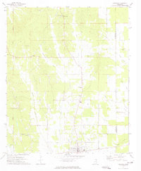
 1958 West Point1958 Print · USGSNortheastern Mississippi and western Alabama are shown in the late 1950s, highlighting a region defined by its river-and-rail economy. Researchers can trace family roots through numerous settlements like Artesia and Vardaman or explore the corridor of the Tombigbee River.
 - 1963 Map of West Point
 1963 West Point1963 Print · USGSEastern Mississippi and western Alabama are captured in the early sixties as industrial centers and rail lines connected the Black Prairie to the hills. Genealogists and historians can trace family-named watercourses and the early footprints of Starkville, Columbus, and the Noxubee National Wildlife Refuge.2 unique versions available
 - 1972 Map of Atlanta, 1974 Print
 1972 Atlanta1974 Print · USGSNortheast Mississippi’s rural landscape is captured here in the early seventies, dominated by the canalization of major watercourses. Genealogists can locate family landmarks such as Old Pleasant Grove Cem, Midway Ch, and Collage Hill Ch.
 - 1972 Map of Vardaman, 1974 Print
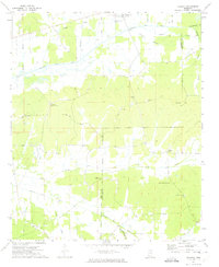
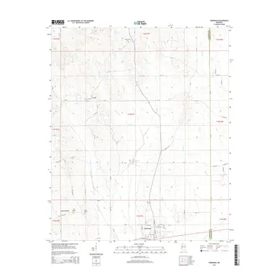
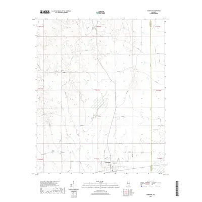
 1972 Vardaman1974 Print · USGSThe area surrounding Vardaman in the early 1970s reflects a landscape of rural communities and crossroads. Researchers can trace family roots through sites like Georgies Chapel, New Liberty Ch, and the Reid Lookout Tower.2 unique versions available
 - 1984 Map of West Point
 1984 West Point1984 Print · USGSNorth-Central Mississippi in the mid-eighties shows a landscape defined by massive water management projects and dense timberlands. Researchers can trace the legacy of rural settlements like Geeslin Corner or the rail corridors of the Illinois Central Gulf RR near Grenada Lake.3 unique versions available
 - 1984 Map of Grenada, 1990 Print
 1984 Grenada1990 Print · USGSNorth Central Mississippi’s river valleys and conservation lands are captured here in the mid-1980s. Researchers can trace the sprawling Camp Mc Cain, the Illinois Central Gulf rail line, and the historic Treaty Boundary.
 - 2012 Map of Vardaman, 2012 Print
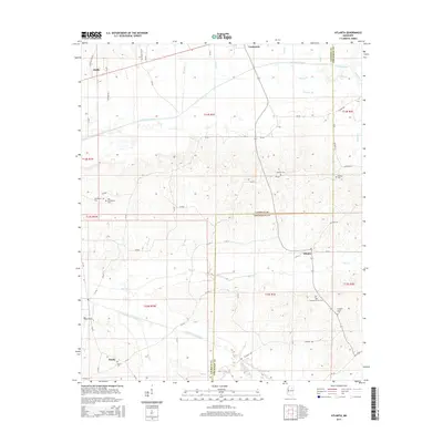
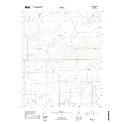
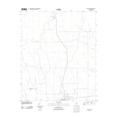 2012 Vardaman2012 Print · USGSCovers Vardaman, including Loyd, New Liberty, and other nearby areas
 - 2012 Map of Atlanta, 2012 Print
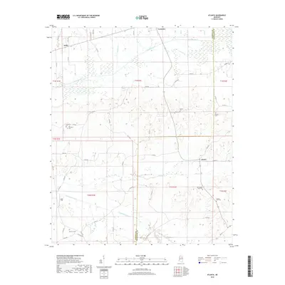
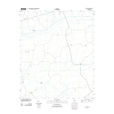 2012 Atlanta2012 Print · USGSCovers Vardaman, including Bently, Atlanta, and other nearby areas
 - 2015 Map of Atlanta, 2015 Print
 2015 Atlanta2015 Print · USGSCovers Vardaman, including Bently, Atlanta, and other nearby areas
 - 2015 Map of Vardaman, 2015 Print
 2015 Vardaman2015 Print · USGSCovers Vardaman, including Loyd, New Liberty, and other nearby areas
 - 2018 Map of Atlanta, 2018 Print
 2018 Atlanta2018 Print · USGSCovers Vardaman, including Bently, Atlanta, and other nearby areas
 - 2018 Map of Vardaman, 2018 Print
 2018 Vardaman2018 Print · USGSCovers Vardaman, including Loyd, New Liberty, and other nearby areas
 - 2020 Map of Atlanta, 2020 Print
 2020 Atlanta2020 Print · USGSCovers Vardaman, including Bently, Atlanta, and other nearby areas
 - 2020 Map of Vardaman, 2020 Print
 2020 Vardaman2020 Print · USGSCovers Vardaman, including Loyd, New Liberty, and other nearby areas
 - 2024 Map of Atlanta, 2024 Print
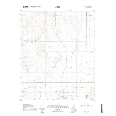
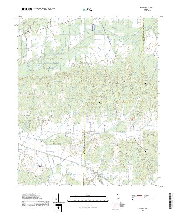 2024 Atlanta2024 Print · USGSCalhoun and Chickasaw counties meet in this rural landscape as it appeared in recent years. Researchers can locate several burial grounds and small settlements, including Atlanta, Old Pleasant Grove Cem, and Midway Cem.
 - 2024 Map of Vardaman, 2024 Print
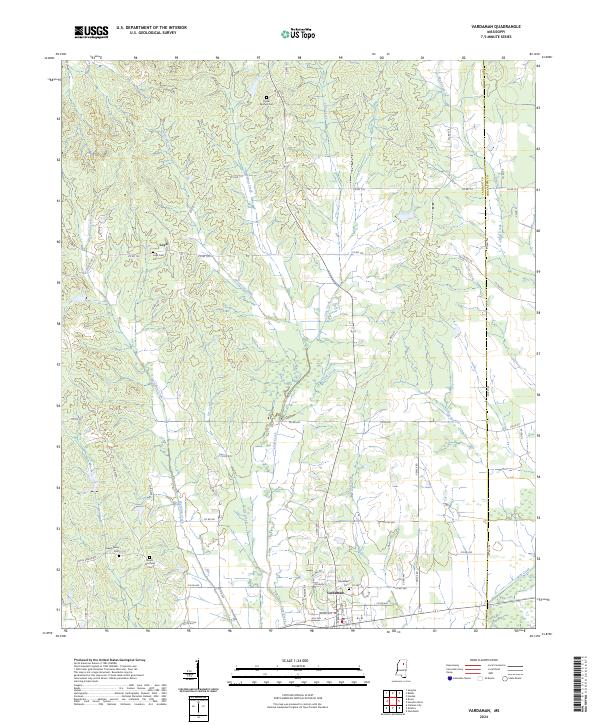 2024 Vardaman2024 Print · USGSVardaman and the surrounding rural communities of Calhoun County are captured in this recent survey. Genealogists and local historians can trace family locations near Loyd, Poplar Springs Cem, and the headwaters of Hurricane Creek.
End of results
Showing maps 1-17 of 17
Top cities near Vardaman
- Houston historical maps
- Bruce historical maps
- Calhoun City historical maps
- Derma historical maps
- Pittsboro historical maps
- Mantee historical maps
See more
Frequently asked questions
- What are the different types of historical maps available for Vardaman?
- What is the oldest map of Vardaman?
- Where can I purchase historical maps of Vardaman for my home or office?
- Where can I download high-res historical maps of Vardaman?
- Are there historical topographic maps available for Vardaman?
- Is there historical aerial imagery available for Vardaman?
- Where are historical maps of Vardaman sourced from?