2000s (21st Century) Maps of Houston, Mississippi
Explore 11 historic maps of Houston from the 2000s (21st Century). These maps offer a rare glimpse into what life looked like during the 2000s — showing old roads, neighborhoods, homes, and landmarks that have changed or disappeared over time.
Whether you're researching your family's past, planning a metal detecting trip, or studying how Houston's landscape evolved across the 2000s, these high-resolution maps are a powerful tool for exploring the history of this region.
- Focus on a specific era: All maps on this page are from the 2000s, giving you a focused view of this time period.
- See what’s changed: Compare century-old streets, trails, and buildings to today's modern landscape using overlays and satellite layers.
- Research with precision: Use these maps for genealogy, historical research, land use analysis, or educational projects.
- View, download, or print: Maps are fully viewable online in high resolution, and can be downloaded or printed for your own records.
Start exploring Houston's history through authentic maps from the 2000s. This is your window into the past.
Houston, MS maps
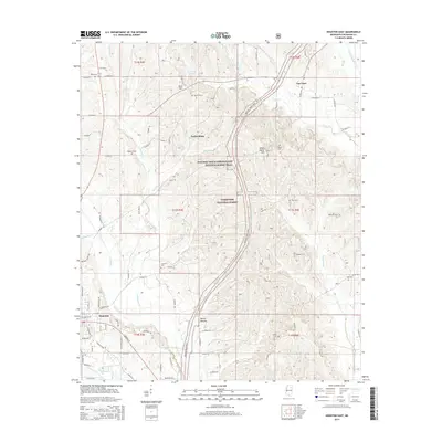
(11)- 2000 Map of Houston East, 2002 Print
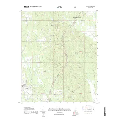
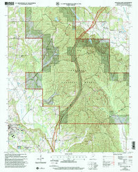 2000 Houston East2002 Print · USGSThe Tombigbee National Forest and the path of the Natchez Trace Parkway define this Chickasaw County landscape at the turn of the century. Researchers can trace rural lineages through family landmarks like Bynum Mounds, Witch Dance Cem, and Van Vleet.
 - 2012 Map of Houston East, 2012 Print
 2012 Houston East2012 Print · USGSCovers Houston, including Parkersburg, Van Vleet, and other nearby areas
 - 2012 Map of Houston West, 2012 Print
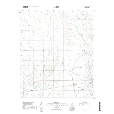
 2012 Houston West2012 Print · USGSCovers Houston, including Thorn, Pyland, and other nearby areas
 - 2015 Map of Houston West, 2015 Print
 2015 Houston West2015 Print · USGSCovers Houston, including Thorn, Pyland, and other nearby areas
 - 2015 Map of Houston East, 2015 Print
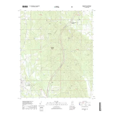
 2015 Houston East2015 Print · USGSCovers Houston, including Parkersburg, Van Vleet, and other nearby areas
 - 2018 Map of Houston West, 2018 Print
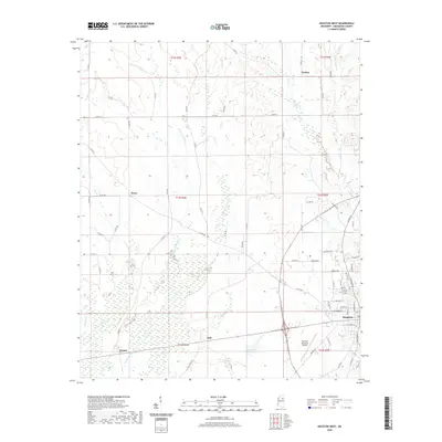
 2018 Houston West2018 Print · USGSCovers Houston, including Thorn, Pyland, and other nearby areas
 - 2018 Map of Houston East, 2018 Print
 2018 Houston East2018 Print · USGSCovers Houston, including Parkersburg, Van Vleet, and other nearby areas
 - 2020 Map of Houston West, 2020 Print
 2020 Houston West2020 Print · USGSCovers Houston, including Thorn, Pyland, and other nearby areas
 - 2021 Map of Houston East, 2021 Print
 2021 Houston East2021 Print · USGSCovers Houston, including Parkersburg, Van Vleet, and other nearby areas
 - 2024 Map of Houston East, 2024 Print
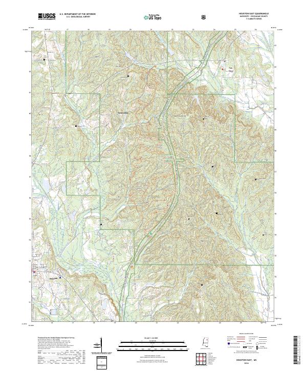 2024 Houston East2024 Print · USGSChickasaw County comes into focus in this recent survey, showcasing the area surrounding the county seat just as it remains a hub of North Mississippi life. Researchers can locate numerous family cemeteries like Reid Cem and Morgan Cem or trace the route of the Natchez Trace Parkway.
 - 2024 Map of Houston West, 2024 Print
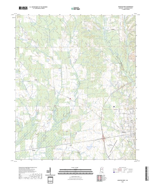 2024 Houston West2024 Print · USGSChickasaw County's western reaches are captured here in the contemporary era, showing the regional hub of Houston and its rural outskirts. Genealogists and local historians can trace the foundations of the county seat at the Chickasaw County Courthouse and locate the historic settlements of Thorn, Thelma, and Pyland.
End of results
Showing maps 1-11 of 11
Top cities near Houston
Frequently asked questions
- What are the different types of historical maps available for Houston?
- What is the oldest map of Houston?
- Where can I purchase historical maps of Houston for my home or office?
- Where can I download high-res historical maps of Houston?
- Are there historical topographic maps available for Houston?
- Is there historical aerial imagery available for Houston?
- Where are historical maps of Houston sourced from?