Old Maps of Montpelier, Mississippi for Genealogy
Trace your family roots with 12 historic maps of Montpelier. These high-res maps reveal old neighborhoods, homesites, landmarks, and streets — helping you uncover where your ancestors lived and how the area evolved over time.
- Explore historic neighborhoods: Identify where your relatives may have lived in the 1800s or 1900s.
- Compare maps over time: Trace the changes in streets, buildings, and landmarks for multi-generational research.
- Perfect for genealogy & ancestry research: Used by family historians and researchers to map out lineage and migration.
These maps are an incredible resource for exploring your personal connection to Montpelier's past.
Montpelier, MS maps
(12)- 1953 Map of West Point, 1973 Print
 1953 West Point1973 Print · USGSNorth-Central Mississippi and the Alabama borderlands are captured here during the mid-twentieth century as new reservoirs and national forests transformed the landscape. Researchers can trace the path of the Mississippi & Skuna Valley railroad or locate old landings along the Tombigbee River and Schooner Creek.3 unique versions available
 - 1958 Map of West Point
 1958 West Point1958 Print · USGSNortheastern Mississippi and western Alabama are shown in the late 1950s, highlighting a region defined by its river-and-rail economy. Researchers can trace family roots through numerous settlements like Artesia and Vardaman or explore the corridor of the Tombigbee River.
 - 1959 Map of Pheba, 1960 Print
 1959 Pheba1960 Print · USGSClay County in the late fifties shows a rural landscape stitched together by country schools and small crossroads. Genealogists can trace family lines through Pearsons Chapel Cem or locate community hubs like Beasley High Sch and the Old Indian Boundary.
 - 1963 Map of West Point
 1963 West Point1963 Print · USGSEastern Mississippi and western Alabama are captured in the early sixties as industrial centers and rail lines connected the Black Prairie to the hills. Genealogists and historians can trace family-named watercourses and the early footprints of Starkville, Columbus, and the Noxubee National Wildlife Refuge.2 unique versions available
 - 1982 Map of West Point, 1983 Print
 1982 West Point1983 Print · USGSEastern Mississippi and western Alabama are captured in the early eighties as the river-and-rail economy evolved. Trace family roots and old township lines near West Point, Columbus Air Force Base, and the historic Natchez Trace Parkway.
 - 1984 Map of West Point
 1984 West Point1984 Print · USGSNorth-Central Mississippi in the mid-eighties shows a landscape defined by massive water management projects and dense timberlands. Researchers can trace the legacy of rural settlements like Geeslin Corner or the rail corridors of the Illinois Central Gulf RR near Grenada Lake.3 unique versions available
 - 1987 Map of Montpelier
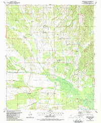 1987 Montpelier1987 Print · USGSClay County, Mississippi, is shown here in the late twentieth century as a landscape shaped by creek systems and early treaty lines. Genealogists and historians can trace local community roots through family-named sites like Walkers Gin and the Old Indian Treaty Boundary.
 - 2012 Map of Montpelier, 2012 Print
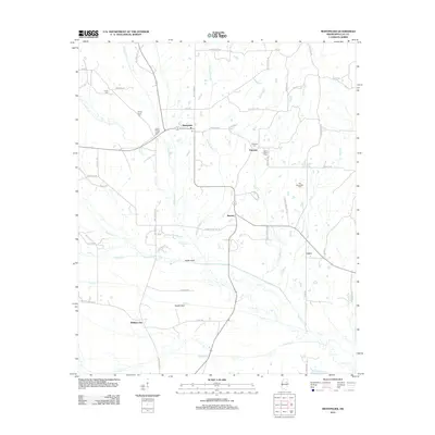 2012 Montpelier2012 Print · USGSClay County's rural character is preserved in this study of the local landscape during the early twenty-first century. Genealogists can locate several family and community burial sites such as Lower Prairie Creek Cem and Saint Paul Cem near Montpelier.
 - 2015 Map of Montpelier, 2015 Print
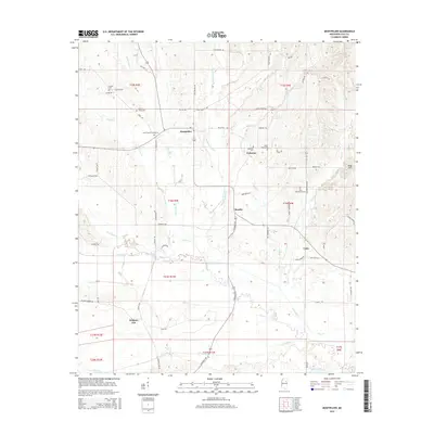 2015 Montpelier2015 Print · USGSClay County at the dawn of the twenty-first century maintains its rural character through quiet hamlets and family landholdings. Genealogists and historians can trace local lineages through Walkers Gin, Old Montpelier Cem, and the church at Saint Paul Cem.
 - 2018 Map of Montpelier, 2018 Print
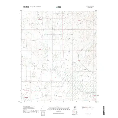 2018 Montpelier2018 Print · USGSClay County at the dawn of the twenty-first century remains a landscape of quiet crossroads and historic family burial grounds. Researchers can trace the rural layout of Montpelier and Beasley or locate ancestral sites like Old Montpelier Cem and Prairie Creek Cem.
 - 2020 Map of Montpelier, 2020 Print
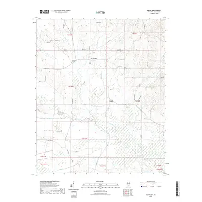 2020 Montpelier2020 Print · USGSClay County's rural landscape is meticulously mapped here in the modern era, showing the enduring agricultural networks around Montpelier. Genealogists can trace family heritage through numerous burial sites like Old Montpelier Cem and Prairie Creek Cem.
 - 2024 Map of Montpelier, 2024 Print
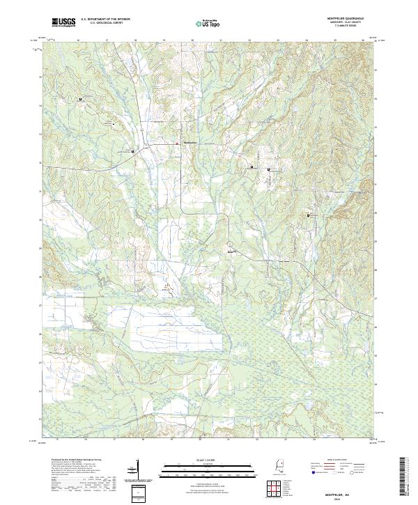 2024 Montpelier2024 Print · USGSClay County's rural landscape comes into focus in this contemporary survey of the area around Montpelier and Beasley. Researchers can trace local heritage through numerous burial sites like Old Montpelier Cem and waterways such as Sewayiah Creek and Line Creek.
End of results
Showing maps 1-12 of 12
Top cities near Montpelier
- Starkville historical maps
- Houston historical maps
- Vardaman historical maps
- Mantee historical maps
- Woodland historical maps
Frequently asked questions
- What are the different types of historical maps available for Montpelier?
- What is the oldest map of Montpelier?
- Where can I purchase historical maps of Montpelier for my home or office?
- Where can I download high-res historical maps of Montpelier?
- Are there historical topographic maps available for Montpelier?
- Is there historical aerial imagery available for Montpelier?
- Where are historical maps of Montpelier sourced from?