Old Maps of Roxie, Mississippi
Explore 23 old maps of Roxie, spanning from 1953 to today. These high-resolution historic maps reveal how streets, neighborhoods, landmarks, and natural features evolved over time — perfect for genealogy, metal detecting, research, and local history exploration.
What you can do with these maps:
- See how Roxie changed over time: Compare historical maps to modern-day views to trace roads, homesites, rail lines & more.
- View detailed metadata: Each map includes creators, publishers, year, scale, and archive source.
- Overlay maps with satellite & LiDAR: Visualize the past alongside modern tools to explore terrain & human change.
- Trusted historical sources: Maps sourced from the USGS, Library of Congress, and other archives.
- Access maps your way: View online, download high-res files, or order prints for personal or research use.
Start exploring old maps of Roxie to uncover forgotten places, hidden landmarks, and the deep history beneath your feet.
Roxie, MS maps
(23)- 1953 Map of Natchez, 1966 Print
 1953 Natchez1966 Print · USGSSouthwest Mississippi and the Louisiana border country come alive in this mid-century survey of the river valley and forest lands. Researchers can trace the rail lines of the Illinois Central RR and locate rural hubs like Gloster and Ferriday.3 unique versions available
 - 1956 Map of Natchez
 1956 Natchez1956 Print · USGSThe Mississippi River borderlands and the Pine Hills come alive in this mid-fifties study of the Natchez region. Genealogists and historians can trace rail-era towns along the Illinois Central RR and explore the oxbows of Lake Bruin and Lake Concordia.
 - 1959 Map of Natchez
 1959 Natchez1959 Print · USGSSouthwestern Mississippi and eastern Louisiana are captured in the late fifties, showing a landscape defined by the winding Mississippi River and the timbered Homochitto National Forest. Researchers can trace the sprawling Illinois Central RR and find rural landmarks like Union Church and Camp Van Dorn (Abandoned).
 - 1961 Map of Crosby, 1962 Print
 1961 Crosby1962 Print · USGSThe Homochitto River valley and its neighboring oil fields are captured here in the early sixties as they span four Mississippi counties. Researchers can trace rural lineages through numerous family sites like Dorsey Cem, Perrytown Ch, and the Illinois Central Railroad corridor.3 unique versions available
 - 1962 Map of Fayette, 1964 Print
 1962 Fayette1964 Print · USGSMississippi's river-country interior in the early sixties reveals a landscape of oil fields and ancient earthworks. Genealogists and historians can trace family-named sites like Emerald Mound, Hicks Cem, and the rural Daughters Temple.2 unique versions available
 - 1984 Map of Natchez
 1984 Natchez1984 Print · USGSThe Mississippi-Louisiana borderlands in the mid-eighties show a landscape defined by the winding Mississippi River and its rail networks. Trace family history at the Natchez National Cemetery or explore the river towns of Vidalia and Ferriday.
 - 1984 Map of Woodville
 1984 Woodville1984 Print · USGSThe Mississippi-Louisiana borderlands in the mid-eighties show a landscape defined by the shifting MISSISSIPPI RIVER and sprawling timberlands. Researchers can trace the ILLINOIS CENTRAL GULF railroad through Gloster or locate historic river points like Fort Adams and Point Breeze.
 - 1988 Map of Knoxville
 1988 Knoxville1988 Print · USGSSouthwestern Mississippi's timberlands and evolving energy fields are documented here in the late eighties. Researchers can trace family names and local landmarks at White Apple, McMillan Cem, and the Dry Creek Oil Field.
 - 1988 Map of Roxie
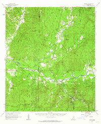
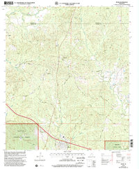
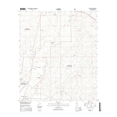
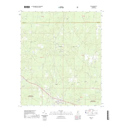
 1988 Roxie1988 Print · USGSFranklin and Jefferson counties are shown here in the late eighties as timber and natural resources shaped the landscape. Researchers can trace family history through numerous rural burial sites like Old Rose Hill Cem and Armstrong Cem or follow the Old Railroad Grade near Hamburg.
 - 1991 Map of Woodville
 1991 Woodville1991 Print · USGSWilkinson County and the Louisiana borderlands appear here in the early nineties, where the bluffs meet the Mississippi River floodplain. Trace the sites of old river landings and rural outposts like Fort Adams, Pinckneyville, and the remote Larto Lake community.
 - 1991 Map of Natchez, 1992 Print
 1991 Natchez1992 Print · USGSThe Mississippi River valley at the turn of the nineties reveals a landscape of oxbow lakes, river landings, and bustling bluff-top towns. Genealogists and historians can trace the rail corridors of the Illinois Central Gulf Railroad through Fayette or locate family roots in riverside settlements like Waterproof and St Joseph.
 - 2000 Map of Roxie, 2002 Print
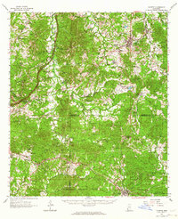
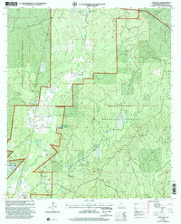
 2000 Roxie2002 Print · USGSFranklin and Jefferson Counties are documented here at the turn of the century as the southern forest landscape met rural farmstead life. Genealogists can trace family ties at Old Rose Hill Cem, Daughters Temple, and the settlement of Hamburg.
 - 2000 Map of Knoxville, 2002 Print
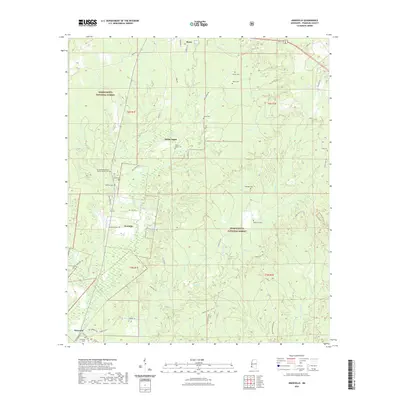
 2000 Knoxville2002 Print · USGSFranklin County in the years before the new millennium shows a landscape defined by the intersection of forest management and oil extraction. Genealogists can trace family names and local landmarks like White Apple, McMillian Cem, and the North Knoxville Oil Field.
 - 2012 Map of Roxie, 2012 Print
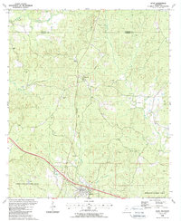
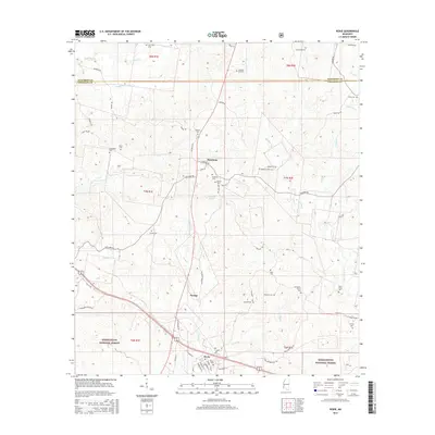
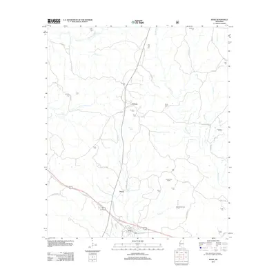 2012 Roxie2012 Print · USGSCovers Roxie, including Hamburg, Orange, and other nearby areas
 - 2012 Map of Knoxville, 2012 Print
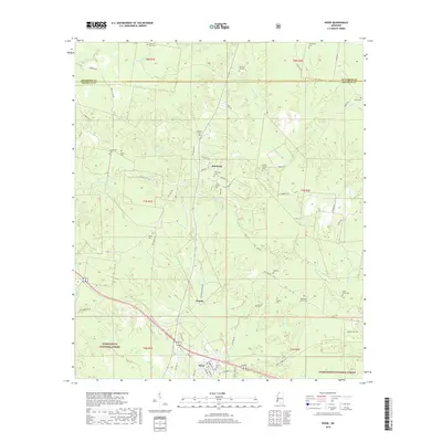
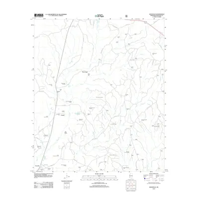 2012 Knoxville2012 Print · USGSCovers Roxie, including White Apple, Flat Rock, and other nearby areas
 - 2015 Map of Knoxville, 2015 Print
 2015 Knoxville2015 Print · USGSCovers Roxie, including White Apple, Flat Rock, and other nearby areas
 - 2015 Map of Roxie, 2015 Print
 2015 Roxie2015 Print · USGSCovers Roxie, including Hamburg, Orange, and other nearby areas
 - 2018 Map of Roxie, 2018 Print
 2018 Roxie2018 Print · USGSCovers Roxie, including Hamburg, Orange, and other nearby areas
 - 2018 Map of Knoxville, 2018 Print
 2018 Knoxville2018 Print · USGSCovers Roxie, including White Apple, Flat Rock, and other nearby areas
 - 2021 Map of Roxie, 2021 Print
 2021 Roxie2021 Print · USGSCovers Roxie, including Hamburg, Orange, and other nearby areas
 - 2021 Map of Knoxville, 2021 Print
 2021 Knoxville2021 Print · USGSCovers Roxie, including White Apple, Flat Rock, and other nearby areas
 - 2024 Map of Roxie, 2024 Print
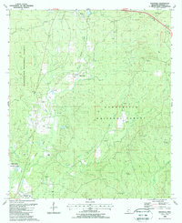
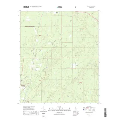
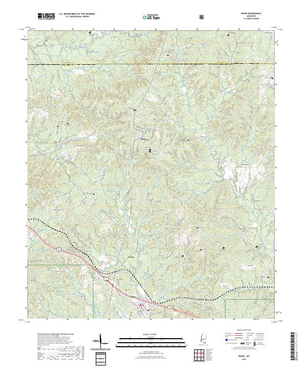 2024 Roxie2024 Print · USGSFranklin and Jefferson Counties are documented here in the early twenty-first century as rural forest lands and creek-side settlements. Genealogists can trace family landmarks across the landscape, including Old Rose Hill Cem, Mundy Cem, and the town of Roxie.
 - 2024 Map of Knoxville, 2024 Print
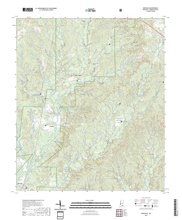 2024 Knoxville2024 Print · USGSFranklin County's wooded hills are shown here in the contemporary era as they transition into the Homochitto National Forest. Researchers can trace local lineage through numerous sites like White Apple Cem, Springhill Missionary Baptist Church, and Knoxville Cem.
End of results
Showing maps 1-23 of 23
Top cities near Roxie
Frequently asked questions
- What are the different types of historical maps available for Roxie?
- What is the oldest map of Roxie?
- Where can I purchase historical maps of Roxie for my home or office?
- Where can I download high-res historical maps of Roxie?
- Are there historical topographic maps available for Roxie?
- Is there historical aerial imagery available for Roxie?
- Where are historical maps of Roxie sourced from?