Old Maps of Champion Hill, Mississippi
Explore 12 old maps of Champion Hill, spanning from 1938 to today. These high-resolution historic maps reveal how streets, neighborhoods, landmarks, and natural features evolved over time — perfect for genealogy, metal detecting, research, and local history exploration.
What you can do with these maps:
- See how Champion Hill changed over time: Compare historical maps to modern-day views to trace roads, homesites, rail lines & more.
- View detailed metadata: Each map includes creators, publishers, year, scale, and archive source.
- Overlay maps with satellite & LiDAR: Visualize the past alongside modern tools to explore terrain & human change.
- Trusted historical sources: Maps sourced from the USGS, Library of Congress, and other archives.
- Access maps your way: View online, download high-res files, or order prints for personal or research use.
Start exploring old maps of Champion Hill to uncover forgotten places, hidden landmarks, and the deep history beneath your feet.
Champion Hill, MS maps
(12)- 1938 Map of Edwards
 1938 Edwards1938 Print · USGSIn the late 1930s, the Hinds County countryside around Edwards was a dense network of rural schools and uniquely named churches. Trace the oxbows of the Big Black River to find landmarks like Mt Beulah College, Little Kingdom Come Ch, and Tomcat Island.3 unique versions available
 - 1955 Map of Jackson
 1955 Jackson1955 Print · USGSThe Lower Mississippi Valley at the middle of the century reveals a landscape of deep river meanders and growing rail hubs. Genealogists and historians can trace the mid-century footprints of Vicksburg National Military Park, old river landings at Port Gibson, and the rail corridors of the Illinois Central Railroad.3 unique versions available
 - 1961 Map of Jackson
 1961 Jackson1961 Print · USGSThe Lower Mississippi Delta and the state capital area are captured here during the post-war era of infrastructure expansion. Researchers can trace the complex river oxbows and rail lines connecting Vicksburg, Yazoo City, and the Illinois Central Railroad network.
 - 1962 Map of Jackson
 1962 Jackson1962 Print · USGSThe Mississippi Delta and the state capital region are mapped here in the early sixties, showing a landscape defined by the great river and the growing city of JACKSON. Genealogists can trace family roots through numerous landmarks like Cedar Hill Cem, rural stops on the Illinois Central RR, and historic sites like Champion Hill.2 unique versions available
 - 1972 Map of Edwards, 1974 Print
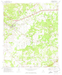 1972 Edwards1974 Print · USGSHinds County in the early seventies centers on the town of Edwards and the high ground of Champion Hill during a period of steady rural continuity. Genealogists can trace family-named landmarks and old congregations like Pilgrim Rest Ch, Mt Moriah Ch, and the Ratliff Chapel Cem.3 unique versions available
 - 1975 Map of Edwards, 1976 Print
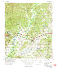 1975 Edwards1976 Print · USGSCentral Mississippi in the mid-seventies shows a landscape of river-bottom farms and rail towns along the Illinois Central Gulf. Genealogists can trace family names through landmarks like Neely Cem, Taylor Cem, and the site of Mt Beulah College.
 - 1984 Map of Jackson
 1984 Jackson1984 Print · USGSCentral Mississippi in the mid-eighties shows a landscape defined by the growing suburbs of Jackson and the riverfront legacy of Vicksburg. Researchers can trace the Natchez Trace Parkway or locate local landmarks like Utica College and Mississippi State Hospital.
 - 2012 Map of Edwards, 2012 Print
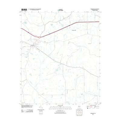 2012 Edwards2012 Print · USGSThe town of Edwards and the historic vicinity of Champion Hill are documented here in the early twenty-first century. Genealogists can trace family connections at Edwards Cem and Friendship Cem or locate rural landmarks like Lake Adanac.
 - 2015 Map of Edwards, 2015 Print
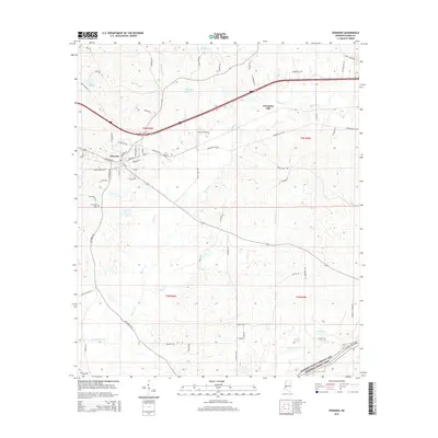 2015 Edwards2015 Print · USGSThe town of Edwards and its historic surroundings are captured here during the mid-2010s. Researchers can trace the local landscape from the heights of Champion Hill down to family-named landmarks like Dowing Pond and Friendship Cem.
 - 2018 Map of Edwards, 2018 Print
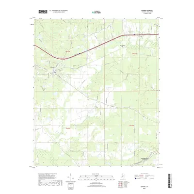 2018 Edwards2018 Print · USGSHinds County in the late 2010s reveals a landscape defined by the historic town of Edwards and the high ground of Champion Hill. Researchers can trace old family footprints near Friendship Cem or follow rural routes like Askew Ferry Rd and Potato House Rd.
 - 2020 Map of Edwards, 2020 Print
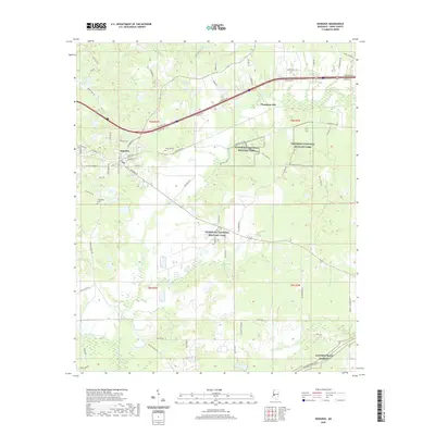 2020 Edwards2020 Print · USGSThe western reaches of Hinds County are shown here in recent years, centered on the strategic high ground of the Civil War. Researchers can trace historical sites like Vicksburg National Military Park and Champion Hill, alongside local landmarks like Edwards Cem and Lake Adanac.
 - 2024 Map of Edwards, 2024 Print
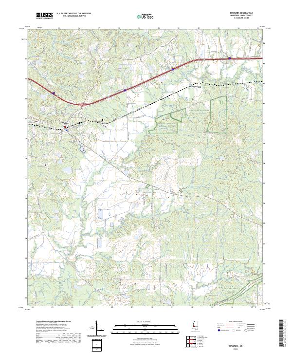 2024 Edwards2024 Print · USGSEdwards and the surrounding Hinds County countryside are shown here in modern detail, dominated by the legacy of the Civil War. Researchers can trace the protected grounds of Vicksburg National Military Park and Champion Hill, alongside local sites like Edwards Cem and the Natchez Trace Parkway.
End of results
Showing maps 1-12 of 12
Top cities near Champion Hill
- Jackson historical maps
- Clinton historical maps
- Byram historical maps
- Raymond historical maps
- Flora historical maps
- Edwards historical maps
See more
Frequently asked questions
- What are the different types of historical maps available for Champion Hill?
- What is the oldest map of Champion Hill?
- Where can I purchase historical maps of Champion Hill for my home or office?
- Where can I download high-res historical maps of Champion Hill?
- Are there historical topographic maps available for Champion Hill?
- Is there historical aerial imagery available for Champion Hill?
- Where are historical maps of Champion Hill sourced from?