Old Maps of Midway, Mississippi for Metal Detecting
Plan your next treasure hunt with 14 historic maps of Midway. Find old homesites, ghost towns, trails, and gathering spots that may be lost to time — perfect for identifying promising metal detecting locations.
- Locate forgotten sites: Uncover places like long-lost settlements, abandoned rail lines, or gathering spots.
- Plan better hunts: Use map overlays combined with LiDAR or satellite views to narrow in on historically rich areas.
- Made for detectorists: Thousands of hobbyists use these maps to discover relics, coins, and hidden history.
Use these historic maps to boost your research and find new opportunities beneath the surface of Midway.
Midway, MS maps
(14)- 1903 Map of Jackson
 1903 Jackson1903 Print · USGSCentral Mississippi at the dawn of the new century shows a landscape transformed by expanding rail lines and river commerce. Genealogists and researchers can trace family roots through early settlements like Pocahontas, Ridgeland, and Clinton or locate the historic Asylum grounds.
 - 1937 Map of Terry
 1937 Terry1937 Print · USGSHinds County is captured here in the late thirties, showing a rural landscape defined by the Illinois Central Railroad and its farming hubs. Researchers can trace family roots through numerous small-scale landmarks, including Hester Rosenwald Sch, Morgans Store, and Salmon Cem.3 unique versions available
 - 1943 Map of Terry
 1943 Terry1943 Print · USGSSouthern Hinds County in the late thirties is a landscape of rural crossroads and rail-connected settlements like Terry. Genealogists and historians can locate numerous country schools and churches such as Taylor Grove Sch, Mt Beulah Ch, and the landmark Morgan Store.2 unique versions available
 - 1955 Map of Jackson
 1955 Jackson1955 Print · USGSThe Lower Mississippi Valley at the middle of the century reveals a landscape of deep river meanders and growing rail hubs. Genealogists and historians can trace the mid-century footprints of Vicksburg National Military Park, old river landings at Port Gibson, and the rail corridors of the Illinois Central Railroad.3 unique versions available
 - 1961 Map of Jackson
 1961 Jackson1961 Print · USGSThe Lower Mississippi Delta and the state capital area are captured here during the post-war era of infrastructure expansion. Researchers can trace the complex river oxbows and rail lines connecting Vicksburg, Yazoo City, and the Illinois Central Railroad network.
 - 1962 Map of Jackson
 1962 Jackson1962 Print · USGSThe Mississippi Delta and the state capital region are mapped here in the early sixties, showing a landscape defined by the great river and the growing city of JACKSON. Genealogists can trace family roots through numerous landmarks like Cedar Hill Cem, rural stops on the Illinois Central RR, and historic sites like Champion Hill.2 unique versions available
 - 1971 Map of Terry NW, 1973 Print
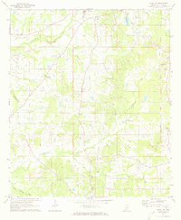 1971 Terry NW1973 Print · USGSRural Hinds County in the early seventies remained a landscape of scattered crossroads and small churches. Researchers can trace family sites at Salmon Cem, explore the community around Dry Grove, or locate the County Penal Farm.
 - 1980 Map of Terry NW
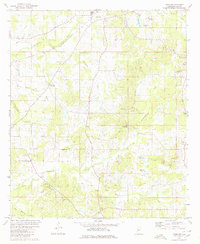 1980 Terry NW1980 Print · USGSHinds County in the 1980s reveals a landscape of small crossroads settlements and family-named landmarks. Genealogists can trace rural roots through features like Fairchilds Crossroads, the Bedwell Cem, and country churches such as Hamilton Grove Ch and Spring Hill Ch.
 - 1984 Map of Jackson
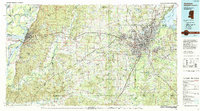 1984 Jackson1984 Print · USGSCentral Mississippi in the mid-eighties shows a landscape defined by the growing suburbs of Jackson and the riverfront legacy of Vicksburg. Researchers can trace the Natchez Trace Parkway or locate local landmarks like Utica College and Mississippi State Hospital.
 - 2012 Map of Terry NW, 2012 Print
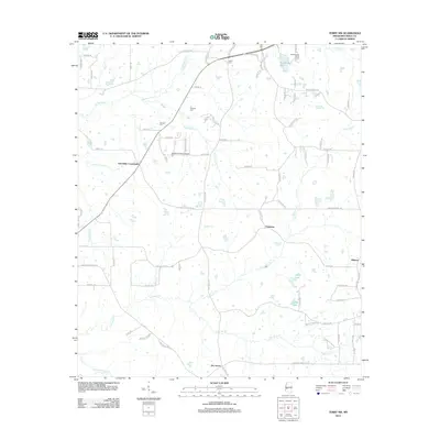 2012 Terry NW2012 Print · USGSHinds County, Mississippi, retains its quiet rural character and local family history in the early twenty-first century. Genealogists and historians can trace family roots through landmarks like Salmon Cemetery and old community hubs such as Palestine and Dry Grove.
 - 2015 Map of Terry NW, 2015 Print
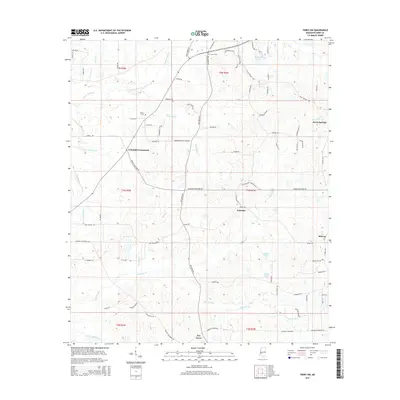 2015 Terry NW2015 Print · USGSHinds County in the mid-2010s reveals a deeply rooted rural landscape shaped by ancient creek drainages and historic crossroads. Genealogists and local historians can trace family locations near Salmon Cem, Fairchilds Crossroads, and the settlement at Palestine.
 - 2018 Map of Terry NW, 2018 Print
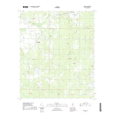 2018 Terry NW2018 Print · USGSHinds County rural life at the end of the 2010s is captured here, showing the persisting landscape of family homesteads and crossroads. Researchers can trace local history through sites like Salmon Cem, the intersection at Fairchilds Crossroads, and Dogwood Acres Airport.
 - 2020 Map of Terry NW, 2020 Print
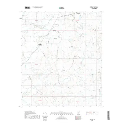 2020 Terry NW2020 Print · USGSHinds County south of Raymond is captured here in the early twenty-first century, showing a rural landscape of winding creeks and family settlements. You can trace ancestral connections at Salmon Cem or locate the historic crossings of Fairchilds Crossroads and Palestine.
 - 2024 Map of Terry NW, 2024 Print
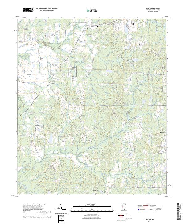 2024 Terry NW2024 Print · USGSHinds County rural life continues to center around historic crossroads and creek bottoms in the mid-2020s. Researchers can trace family ties at Salmon Cem and Carter Cem or locate the small settlements of Fairchilds Crossroads and Dry Grove.
End of results
Showing maps 1-14 of 14
Top cities near Midway
- Jackson historical maps
- Clinton historical maps
- Pearl historical maps
- Byram historical maps
- Flowood historical maps
- Richland historical maps
See more
Frequently asked questions
- What are the different types of historical maps available for Midway?
- What is the oldest map of Midway?
- Where can I purchase historical maps of Midway for my home or office?
- Where can I download high-res historical maps of Midway?
- Are there historical topographic maps available for Midway?
- Is there historical aerial imagery available for Midway?
- Where are historical maps of Midway sourced from?