Old Maps of Belzoni, Mississippi for Academic Research
Study the evolution of Belzoni with 12 high-resolution historic maps. Whether you're teaching, researching, or modeling changes in land use, these maps provide essential visual documentation of urban, environmental, and geographic change.
- Analyze long-term change: Track patterns in development, transportation, and natural features.
- Ideal for environmental or urban studies: Support academic projects with primary historical map data.
- Use in the classroom or lab: Educators and researchers rely on these maps to bring historical context to life.
These maps are a powerful tool for teaching, research, and visualizing how Belzoni has changed over the decades.
Belzoni, MS maps
(12)- 1940 Map of Mileston, 1953 Print
 1940 Mileston1953 Print · USGSThe Mississippi Delta's winding waterways and rail-linked settlements are captured here just before the mid-century. Genealogists can trace family roots through communities like Mileston and Silver City, or locate specific landmarks like the Good Hope Ch and ancient Indian Mounds.
 - 1953 Map of Greenwood, 1966 Print
 1953 Greenwood1966 Print · USGSThe Mississippi Delta in the mid-fifties is captured here as a thriving network of river towns, railroads, and oxbow lakes. Researchers can trace the legacy of the Illinois Central Railroad and locate landmarks like the State Penal Farm and Greenville Air Force Base.5 unique versions available
 - 1954 Map of Mileston
 1954 Mileston1954 Print · USGSThe Yazoo River Delta in the mid-1950s reveals a landscape shaped by massive flood control projects and deep-rooted river communities. Genealogists can trace family footprints through numerous rural landmarks like Holly Grove Ch & Cem, Jaketown, and the remote settlement of Pluto.
 - 1956 Map of Greenwood
 1956 Greenwood1956 Print · USGSThe Mississippi Delta in the mid-fifties is captured here during a period of significant military and agricultural activity. Researchers can trace the rail lines of the Illinois Central RR, find the Greenville Air Force Base, or locate the State Penal Farm.
 - 1982 Map of Belzoni, 1983 Print
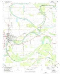 1982 Belzoni1983 Print · USGSThe Yazoo River floodplain in the early 1980s reveals a landscape of delta settlements and agricultural airstrips. Genealogists can trace family roots through numerous sites like Carson Cem, Watson Chapel, and Mt Zion Cem Ch.
 - 1984 Map of Indianola, 1985 Print
 1984 Indianola1985 Print · USGSThe Mississippi Delta of the mid-1980s reveals a landscape of fertile bottomlands shaped by the Sunflower River and Yazoo River. Researchers can trace the rail-and-river economy through landmarks like Saints College, the Leflore Cemetery, and the Columbus and Greenville Railway.
 - 1994 Map of Indianola
 1994 Indianola1994 Print · USGSThe Mississippi Delta's rich agricultural heartland is documented here in the mid-1990s, showing a landscape defined by meandering rivers and rail lines. Genealogists and historians can trace family roots in rural settlements like Nitta Yuma and Midnight or locate the sprawling Yazoo National Wildlife Refuge.
 - 2012 Map of Belzoni, 2012 Print
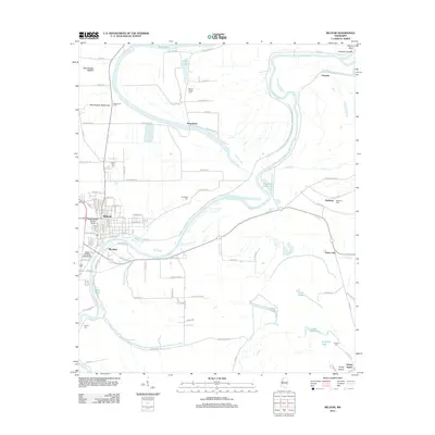 2012 Belzoni2012 Print · USGSThe Mississippi Delta's intricate river network is on full display in the early twenty-first century as the Yazoo River meanders past Belzoni. Genealogists and local historians can trace family ties at Woodland Cem or Mount Zion Cem while exploring the unique geography of Honey Island.
 - 2015 Map of Belzoni, 2015 Print
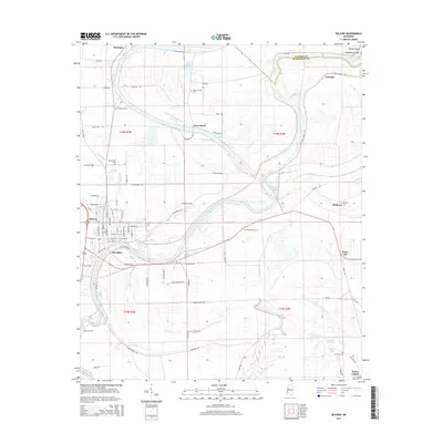 2015 Belzoni2015 Print · USGSBelzoni and the surrounding Humphreys County landscape are captured here in the mid-2010s, showing the intricate relationship between the Yazoo River and the Delta's agricultural settlements. Researchers can locate numerous family burial sites such as Mount Zion Cem and Woodland Cem, alongside old communities like Mathena and Famosla.
 - 2018 Map of Belzoni, 2018 Print
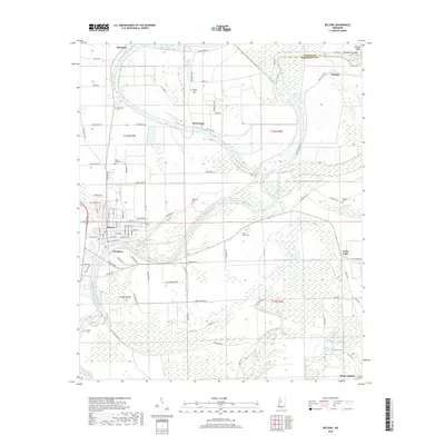 2018 Belzoni2018 Print · USGSThe Mississippi Delta's winding waterways and riverside settlements are captured here in the late 2010s. Researchers can trace local genealogy through numerous family and community sites like Woodland Cem, Carson Cem, and the historic streets of Belzoni.
 - 2020 Map of Belzoni, 2020 Print
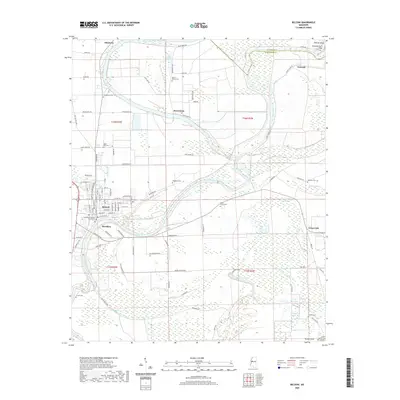 2020 Belzoni2020 Print · USGSBelzoni and the surrounding Humphreys County landscape are captured here in the Mississippi Delta during the early 2020s. Researchers can locate numerous historic burial sites such as Woodland Cem and Holly Grove Cem, or trace the winding course of the Yazoo River past Jaketown and Brooklyn.
 - 2024 Map of Belzoni, 2024 Print
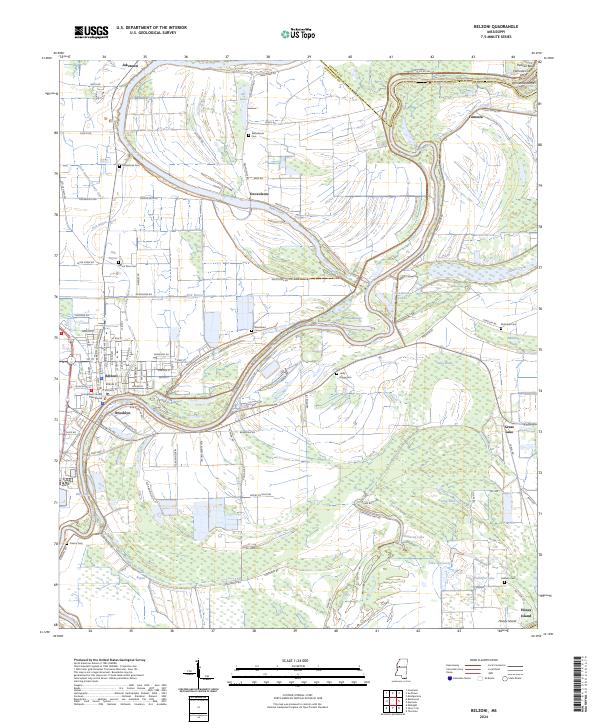 2024 Belzoni2024 Print · USGSHumphreys County and the Yazoo River delta are documented here in the early twenty-first century, showing the evolved settlement patterns of the Mississippi floodplain. Genealogists can locate several family-named landmarks and burial grounds, including Deovolente Cem, Holly Grove Cem, and Fullilove Cem.
End of results
Showing maps 1-12 of 12
Top cities near Belzoni
- Inverness historical maps
- Isola historical maps
- Silver City historical maps
- Louise historical maps
- Morgan City historical maps
- Eden historical maps
Frequently asked questions
- What are the different types of historical maps available for Belzoni?
- What is the oldest map of Belzoni?
- Where can I purchase historical maps of Belzoni for my home or office?
- Where can I download high-res historical maps of Belzoni?
- Are there historical topographic maps available for Belzoni?
- Is there historical aerial imagery available for Belzoni?
- Where are historical maps of Belzoni sourced from?