Old Maps of Midnight, Mississippi for Hiking & Exploration
Hike through history with 12 historic maps of Midnight. Explore old trails, ghost towns, and forgotten backroads — perfect for outdoor adventurers and local explorers.
- Rediscover forgotten places: Map out old mining camps, roads, and footpaths that no longer exist on modern maps.
- Layer with modern tools: Combine with LiDAR or satellite views to plan hikes through historical terrain.
- Made for exploration: Popular among hikers, overlanders, and local history lovers.
Use these maps to find adventure and explore the hidden past of Midnight.
Midnight, MS maps
(12)- 1940 Map of Auter, 1941 Print
 1940 Auter1941 Print · USGSThe Mississippi Delta in the early 1940s is captured here as a world of river landings and plantation agriculture along the Big Sunflower River. Genealogists and researchers can trace family landmarks at Hard Cash, Midnight, and Daybreak Plantation.
 - 1953 Map of Greenwood, 1966 Print
 1953 Greenwood1966 Print · USGSThe Mississippi Delta in the mid-fifties is captured here as a thriving network of river towns, railroads, and oxbow lakes. Researchers can trace the legacy of the Illinois Central Railroad and locate landmarks like the State Penal Farm and Greenville Air Force Base.5 unique versions available
 - 1956 Map of Greenwood
 1956 Greenwood1956 Print · USGSThe Mississippi Delta in the mid-fifties is captured here during a period of significant military and agricultural activity. Researchers can trace the rail lines of the Illinois Central RR, find the Greenville Air Force Base, or locate the State Penal Farm.
 - 1965 Map of Midnight, 1966 Print
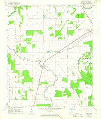 1965 Midnight1966 Print · USGSHumphreys County in the mid-sixties reveals a Delta landscape shaped by the Illinois Central railroad and a network of bayous. Genealogists and historians can locate rural landmarks like Midnight, the Riven Oak Sch, and Bellewood Cem among the cotton fields and drainage ditches.
 - 1967 Map of Auter
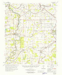 1967 Auter1967 Print · USGSHumphreys County and the surrounding Delta flatlands are captured here in the late sixties as the agricultural economy relied on both rail and river. Trace family roots at Midnight or Silver City, and find old landmarks like River Oak Sch and Pilgrim Rest Cem.
 - 1984 Map of Indianola, 1985 Print
 1984 Indianola1985 Print · USGSThe Mississippi Delta of the mid-1980s reveals a landscape of fertile bottomlands shaped by the Sunflower River and Yazoo River. Researchers can trace the rail-and-river economy through landmarks like Saints College, the Leflore Cemetery, and the Columbus and Greenville Railway.
 - 1994 Map of Indianola
 1994 Indianola1994 Print · USGSThe Mississippi Delta's rich agricultural heartland is documented here in the mid-1990s, showing a landscape defined by meandering rivers and rail lines. Genealogists and historians can trace family roots in rural settlements like Nitta Yuma and Midnight or locate the sprawling Yazoo National Wildlife Refuge.
 - 2012 Map of Midnight, 2012 Print
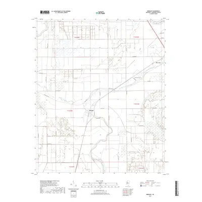
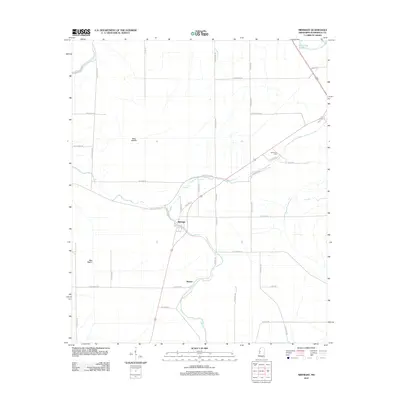 2012 Midnight2012 Print · USGSCovers Midnight, including Silver City, Romeo, and other nearby areas
 - 2015 Map of Midnight, 2015 Print
 2015 Midnight2015 Print · USGSCovers Midnight, including Silver City, Romeo, and other nearby areas
 - 2018 Map of Midnight, 2018 Print
 2018 Midnight2018 Print · USGSCovers Midnight, including Silver City, Romeo, and other nearby areas
 - 2020 Map of Midnight, 2020 Print
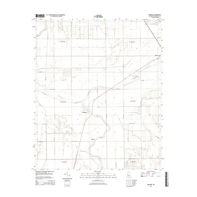
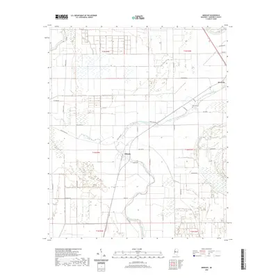 2020 Midnight2020 Print · USGSCovers Midnight, including Silver City, Romeo, and other nearby areas
 - 2024 Map of Midnight, 2024 Print
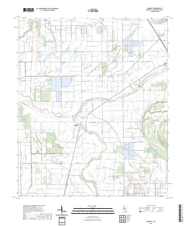 2024 Midnight2024 Print · USGSHumphreys County at the start of the 2020s shows a Delta landscape defined by its bayous and wildlife conservation efforts. Researchers can trace local history through family-named routes and landmarks like Bellewood Cem, the settlement of Midnight, and the Theodore Roosevelt National Wildlife Refuge.
End of results
Showing maps 1-12 of 12
Top cities near Midnight
- Yazoo City historical maps
- Belzoni historical maps
- Isola historical maps
- Silver City historical maps
- Louise historical maps
Frequently asked questions
- What are the different types of historical maps available for Midnight?
- What is the oldest map of Midnight?
- Where can I purchase historical maps of Midnight for my home or office?
- Where can I download high-res historical maps of Midnight?
- Are there historical topographic maps available for Midnight?
- Is there historical aerial imagery available for Midnight?
- Where are historical maps of Midnight sourced from?