Old Maps of Paulding, Mississippi for Academic Research
Study the evolution of Paulding with 10 high-resolution historic maps. Whether you're teaching, researching, or modeling changes in land use, these maps provide essential visual documentation of urban, environmental, and geographic change.
- Analyze long-term change: Track patterns in development, transportation, and natural features.
- Ideal for environmental or urban studies: Support academic projects with primary historical map data.
- Use in the classroom or lab: Educators and researchers rely on these maps to bring historical context to life.
These maps are a powerful tool for teaching, research, and visualizing how Paulding has changed over the decades.
Paulding, MS maps
(10)- 1953 Map of Meridian, 1966 Print
 1953 Meridian1966 Print · USGSEast Central Mississippi and the Alabama borderlands are captured here during a period of steady growth and infrastructure expansion. Genealogists and historians can trace rail-town development along the Gulf Mobile & Ohio Railroad and find early settlements like Scooba, Pelahatchie, and De Kalb.2 unique versions available
 - 1957 Map of Meridian
 1957 Meridian1957 Print · USGSEast Central Mississippi and parts of Western Alabama come alive in the mid-1950s, centered on the transit hub of Meridian. Researchers can trace old rail lines like the Illinois Central and find historic sites such as the Choctaw Indian Reservation and Roosevelt State Park.
 - 1965 Map of Meridian
 1965 Meridian1965 Print · USGSEast Mississippi and West Alabama are mapped here in the mid-sixties as the region's modern highway and reservoir systems began to take shape. Researchers can trace rural lineages through local landmarks like Prince Chapel and Tuscahoma Landing, or follow the historic Gulf Mobile & Ohio rail lines.
 - 1970 Map of Paulding, 1972 Print
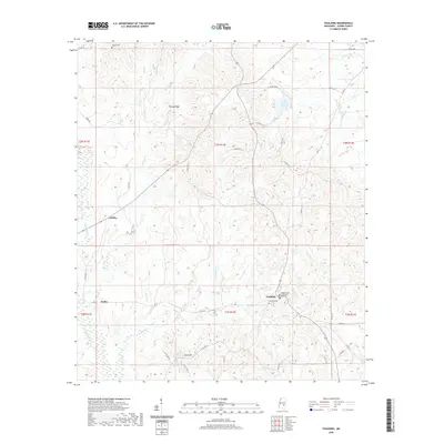
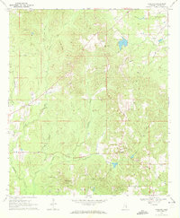 1970 Paulding1972 Print · USGSJasper County in the early seventies shows a landscape of small rural settlements and an emerging energy industry. Researchers can trace family sites at Little Rocky Mount Ch or locate historical petroleum operations at several Oil Wells and a Pumping Sta.2 unique versions available
 - 1984 Map of Forest
 1984 Forest1984 Print · USGSCentral Mississippi in the mid-eighties centers on the timberlands and rail corridors of the Bienville National Forest. Genealogists and historians can trace old settlements like Conehatta and Hillsboro or follow the Illinois Central Gulf line through Morton and Newton.2 unique versions available
 - 2012 Map of Paulding, 2012 Print
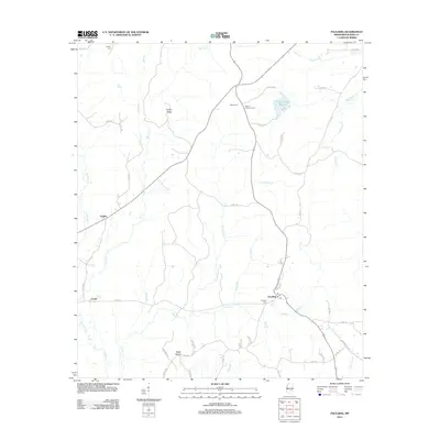 2012 Paulding2012 Print · USGSCovers Paulding, including Fouke, Gridley, and other nearby areas
 - 2015 Map of Paulding, 2015 Print
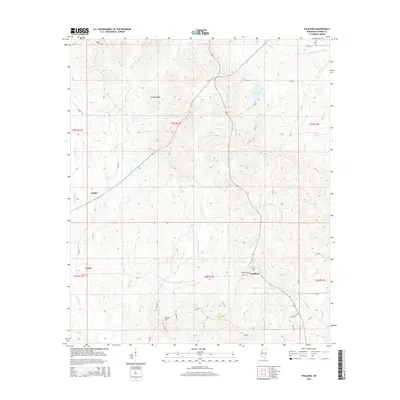 2015 Paulding2015 Print · USGSCovers Paulding, including Fouke, Gridley, and other nearby areas
 - 2018 Map of Paulding, 2018 Print
 2018 Paulding2018 Print · USGSCovers Paulding, including Fouke, Gridley, and other nearby areas
 - 2020 Map of Paulding, 2020 Print
 2020 Paulding2020 Print · USGSCovers Paulding, including Fouke, Gridley, and other nearby areas
 - 2024 Map of Paulding, 2024 Print
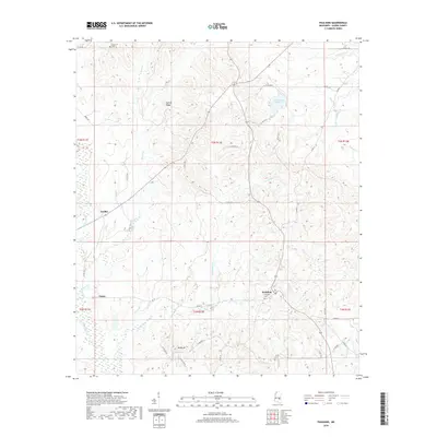
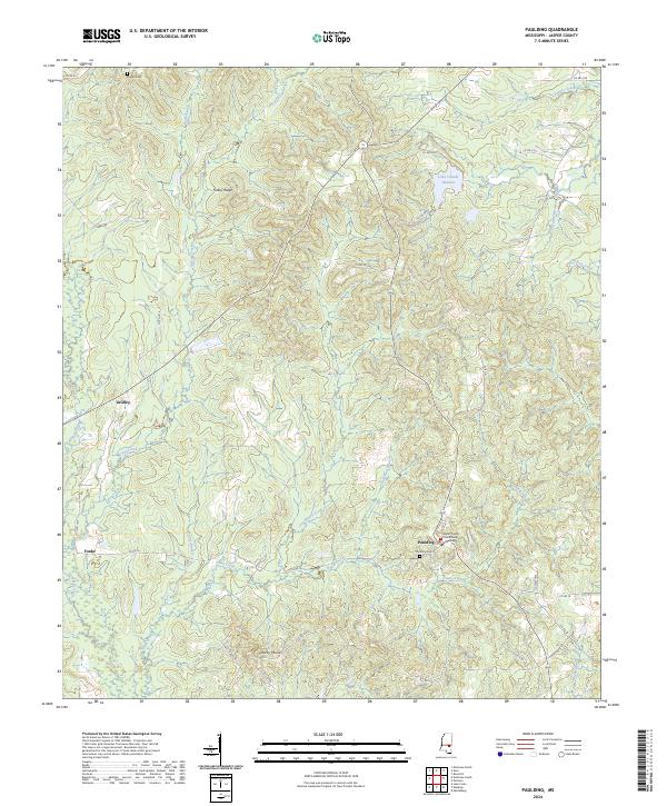 2024 Paulding2024 Print · USGSJasper County in the early 2020s remains a landscape of quiet rural settlements and winding creeks. Genealogists and historians can locate the Jasper County Courthouse Paulding, Paulding Cem, and the old community of Gridley among the ridges.
End of results
Showing maps 1-10 of 10
Top cities near Paulding
- Bay Springs historical maps
- Heidelberg historical maps
- Sandersville historical maps
- Enterprise historical maps
- Louin historical maps
- Pachuta historical maps
See more
Frequently asked questions
- What are the different types of historical maps available for Paulding?
- What is the oldest map of Paulding?
- Where can I purchase historical maps of Paulding for my home or office?
- Where can I download high-res historical maps of Paulding?
- Are there historical topographic maps available for Paulding?
- Is there historical aerial imagery available for Paulding?
- Where are historical maps of Paulding sourced from?