2000s (21st Century) Maps of Jefferson Davis County, Mississippi
Explore 60 historic maps of Jefferson Davis County from the 2000s (21st Century). These maps offer a rare glimpse into what life looked like during the 2000s — showing old roads, neighborhoods, homes, and landmarks that have changed or disappeared over time.
Whether you're researching your family's past, planning a metal detecting trip, or studying how Jefferson Davis County's landscape evolved across the 2000s, these high-resolution maps are a powerful tool for exploring the history of this region.
- Focus on a specific era: All maps on this page are from the 2000s, giving you a focused view of this time period.
- See what’s changed: Compare century-old streets, trails, and buildings to today's modern landscape using overlays and satellite layers.
- Research with precision: Use these maps for genealogy, historical research, land use analysis, or educational projects.
- View, download, or print: Maps are fully viewable online in high resolution, and can be downloaded or printed for your own records.
Start exploring Jefferson Davis County's history through authentic maps from the 2000s. This is your window into the past.
Jefferson Davis County, MS maps
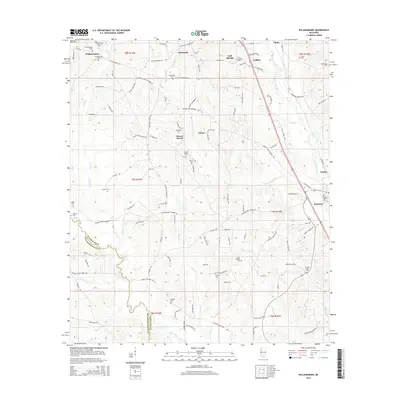
(60)- 2012 Map of New Hebron, 2012 Print
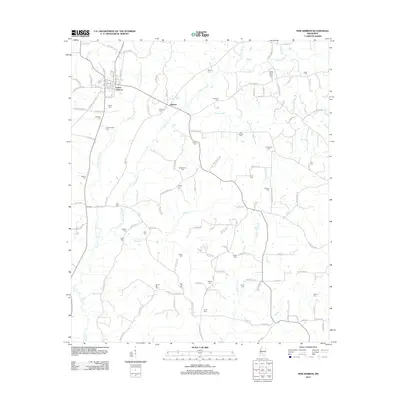 2012 New Hebron2012 Print · USGSCovers Jefferson Davis County, including New Hebron, Hebron, and other nearby areas
 - 2012 Map of Shivers, 2012 Print
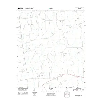
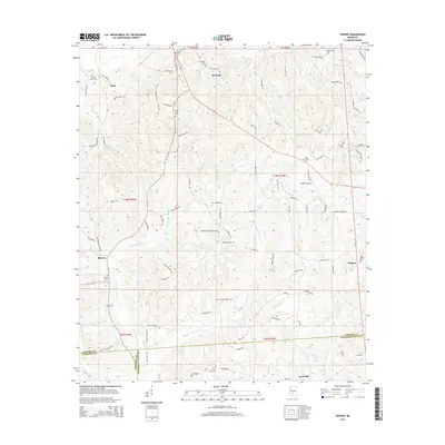
 2012 Shivers2012 Print · USGSCovers Jefferson Davis County, including Westville, Shivers, and other nearby areas
 - 2012 Map of Sumrall, 2012 Print
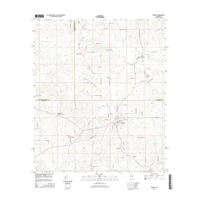
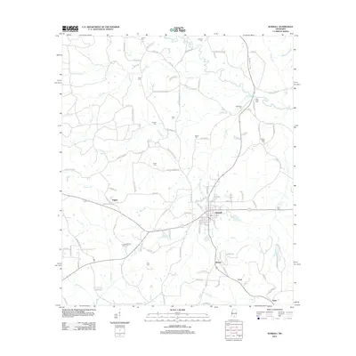 2012 Sumrall2012 Print · USGSCovers Jefferson Davis County, including Sumrall, Bynum, and other nearby areas
 - 2012 Map of Oak Vale, 2012 Print
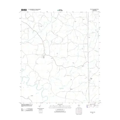 2012 Oak Vale2012 Print · USGSCovers Jefferson Davis County, including Carmich, Hathorn, and other nearby areas
 - 2012 Map of Prentiss West, 2012 Print
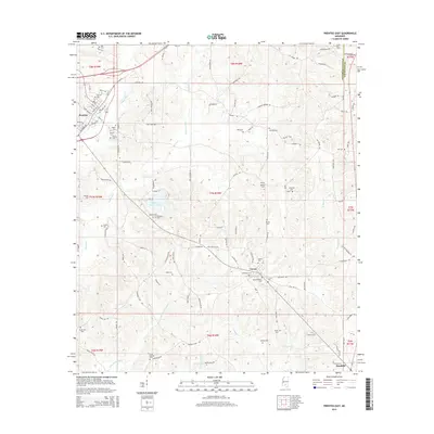
 2012 Prentiss West2012 Print · USGSCovers Jefferson Davis County, including Prentiss, Silver Creek, and other nearby areas
 - 2012 Map of Bassfield, 2012 Print
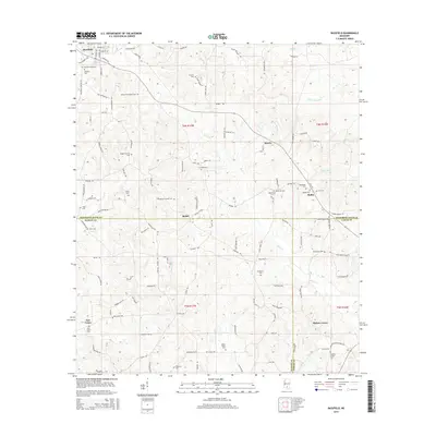
 2012 Bassfield2012 Print · USGSCovers Jefferson Davis County, including Bassfield, Morris, and other nearby areas
 - 2012 Map of Mount Carmel, 2012 Print
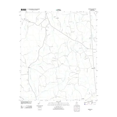
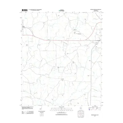
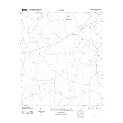
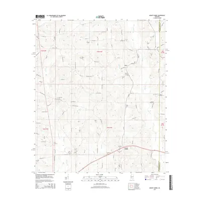
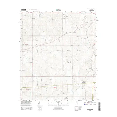
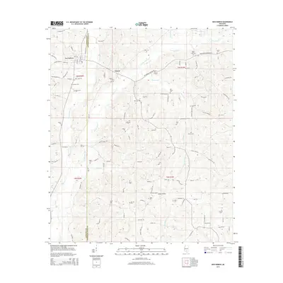
 2012 Mount Carmel2012 Print · USGSCovers Jefferson Davis County, including Clem, Mount Carmel, and other nearby areas
 - 2012 Map of Mendenhall SE, 2012 Print
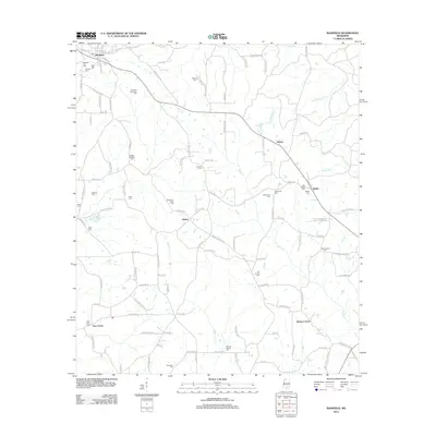
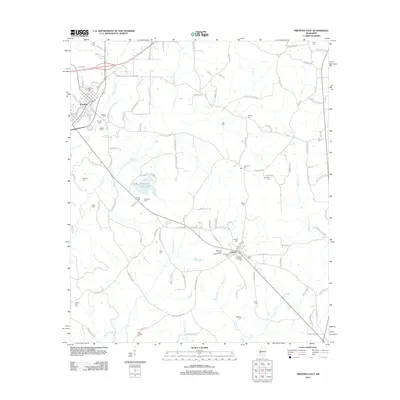
 2012 Mendenhall SE2012 Print · USGSCovers Jefferson Davis County, including Magee, Cyclone, and other nearby areas
 - 2012 Map of Williamsburg, 2012 Print
 2012 Williamsburg2012 Print · USGSCovers Jefferson Davis County, including Collins, Seminary, and other nearby areas
 - 2012 Map of Bunker Hill, 2012 Print
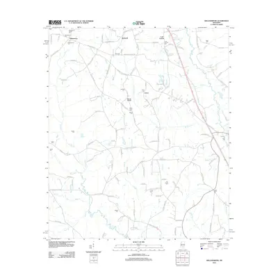
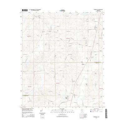
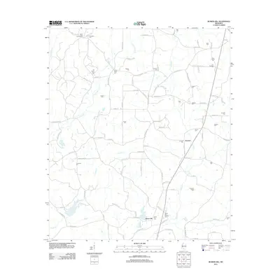 2012 Bunker Hill2012 Print · USGSCovers Jefferson Davis County, including Bassfield, Bunker Hill, and other nearby areas
 - 2012 Map of Prentiss East, 2012 Print
 2012 Prentiss East2012 Print · USGSCovers Jefferson Davis County, including Prentiss, Bassfield, and other nearby areas
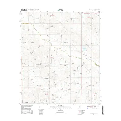
 - 2012 Map of Lake Mike Connor, 2012 Print
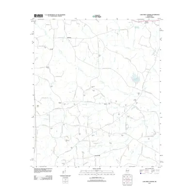 2012 Lake Mike Connor2012 Print · USGSCovers Jefferson Davis County, including Bassfield, Cantwell Mill, and other nearby areas
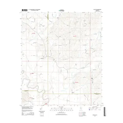
 - 2015 Map of Bassfield, 2015 Print
 2015 Bassfield2015 Print · USGSCovers Jefferson Davis County, including Bassfield, Morris, and other nearby areas
 - 2015 Map of Sumrall, 2015 Print
 2015 Sumrall2015 Print · USGSCovers Jefferson Davis County, including Sumrall, Bynum, and other nearby areas
 - 2015 Map of Prentiss East, 2015 Print
 2015 Prentiss East2015 Print · USGSCovers Jefferson Davis County, including Prentiss, Bassfield, and other nearby areas
 - 2015 Map of Mount Carmel, 2015 Print
 2015 Mount Carmel2015 Print · USGSCovers Jefferson Davis County, including Clem, Mount Carmel, and other nearby areas
 - 2015 Map of Mendenhall SE, 2015 Print
 2015 Mendenhall SE2015 Print · USGSCovers Jefferson Davis County, including Magee, Cyclone, and other nearby areas
 - 2015 Map of New Hebron, 2015 Print
 2015 New Hebron2015 Print · USGSCovers Jefferson Davis County, including New Hebron, Hebron, and other nearby areas
 - 2015 Map of Shivers, 2015 Print
 2015 Shivers2015 Print · USGSCovers Jefferson Davis County, including Westville, Shivers, and other nearby areas
 - 2015 Map of Bunker Hill, 2015 Print
 2015 Bunker Hill2015 Print · USGSCovers Jefferson Davis County, including Bassfield, Bunker Hill, and other nearby areas
 - 2015 Map of Williamsburg, 2015 Print
 2015 Williamsburg2015 Print · USGSCovers Jefferson Davis County, including Collins, Seminary, and other nearby areas
 - 2015 Map of Oak Vale, 2015 Print
 2015 Oak Vale2015 Print · USGSCovers Jefferson Davis County, including Carmich, Hathorn, and other nearby areas
 - 2015 Map of Lake Mike Connor, 2015 Print
 2015 Lake Mike Connor2015 Print · USGSCovers Jefferson Davis County, including Bassfield, Cantwell Mill, and other nearby areas
 - 2015 Map of Prentiss West, 2015 Print
 2015 Prentiss West2015 Print · USGSCovers Jefferson Davis County, including Prentiss, Silver Creek, and other nearby areas
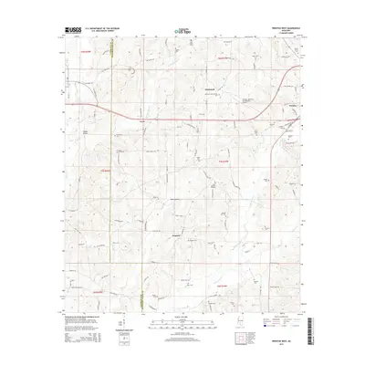
 - 2018 Map of Mendenhall SE, 2018 Print
 2018 Mendenhall SE2018 Print · USGSCovers Jefferson Davis County, including Magee, Cyclone, and other nearby areas
Showing maps 1-25 of 60
Top cities of Jefferson Davis County
Frequently asked questions
- What are the different types of historical maps available for Jefferson Davis County?
- What is the oldest map of Jefferson Davis County?
- Where can I purchase historical maps of Jefferson Davis County for my home or office?
- Where can I download high-res historical maps of Jefferson Davis County?
- Are there historical topographic maps available for Jefferson Davis County?
- Is there historical aerial imagery available for Jefferson Davis County?
- Where are historical maps of Jefferson Davis County sourced from?