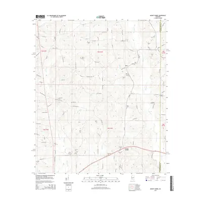
2015 Map of Mount Carmel
USGS Topo · Published 2015About this map
Mount Carmel and Clem sit at the center of this rural landscape in Jefferson Davis and Covington Counties. The terrain is defined by a dense network of watercourses including the Bouie River, White Sand Creek, and Jaybird Creek, which dictate the winding paths of rural routes like Ferry Magee Rd and Whitesand Church Rd.
Find a feature on this map
105 named features on this map. Tap any name to fly to it.
Don’t see what you’re looking for? This feature index may not catch every label — zoom into the map to look around manually.
Map Details
Editions of this 2015 Mount Carmel Map
This is the sole edition of this map. No revisions or reprints were ever made.
Other maps of this area

1953 · Hattiesburg
USGS Topo · 1:250,000

1958 · Hattiesburg
USGS Topo · 1:250,000

1970 · Prentiss West
USGS Topo · 1:24,000

1970 · New Hebron
USGS Topo · 1:24,000

1970 · Prentiss East
USGS Topo · 1:24,000

1970 · Mount Carmel
USGS Topo · 1:24,000
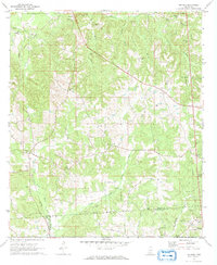
1971 · Shivers
USGS Topo · 1:24,000
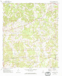
1971 · Mendenhall SE
USGS Topo · 1:24,000

1974 · Lone Star
USGS Topo · 1:24,000

1974 · Lake Mike Connor
USGS Topo · 1:24,000