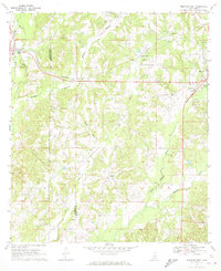
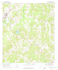
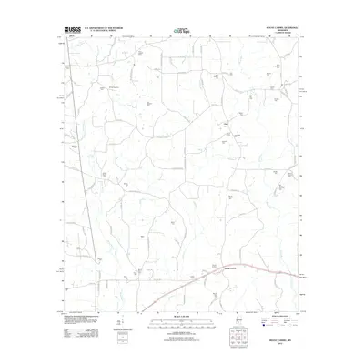
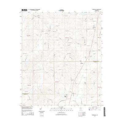
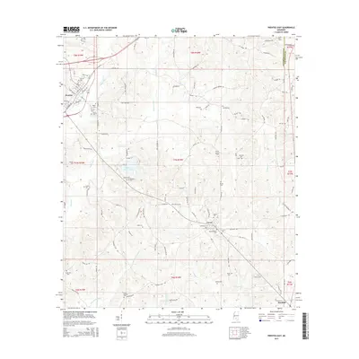
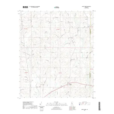
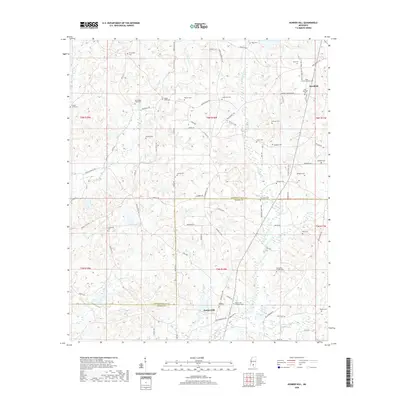
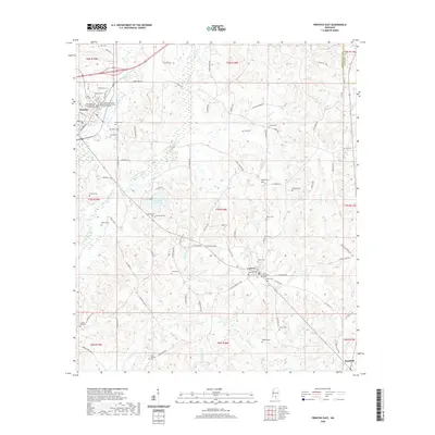
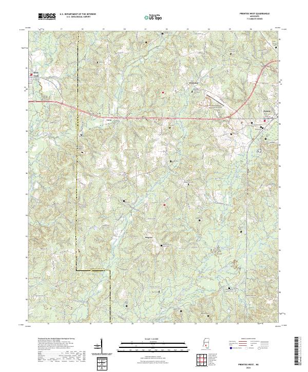
1970 Map of Prentiss West
USGS Topo · Published 1972About this map
The Illinois Central railroad cuts a prominent path through this 1970 landscape, connecting the towns of Silver Creek and Prentiss across the Lawrence Co Jefferson Davis Co line. This rural corridor is defined by numerous family-named landmarks and local institutions, such as Williams Sch and Bethany Ch, which speak to the area's established community roots. The terrain is deeply carved by watercourses like Hooker Hollow, Watts Hollow, and White Sand Creek, where the land is frequently marked by Gravel Pits, indicating a reliance on local mineral extraction. Near the eastern edge, the Prentiss-Jefferson Davis County Airport and a Sewage Disposal Pond reflect the mid-century infrastructure supporting the growing county seat. Genealogists will find particular value in the scattered rural burial grounds, including Mikel Cem, Lucas Cem, and Mount Olive Cem, located along the winding roads that traverse the hollows.
Find a feature on this map
35 named features on this map. Tap any name to fly to it.
Don’t see what you’re looking for? This feature index may not catch every label — zoom into the map to look around manually.
Map Details
Editions of this 1970 Prentiss West Map
This is the sole edition of this map. No revisions or reprints were ever made.
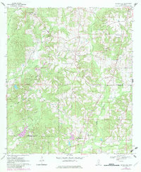
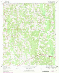
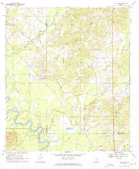
Historical Maps of Prentiss Through Time
36 maps found
1970 Bunker Hill
Jefferson Davis County, MS
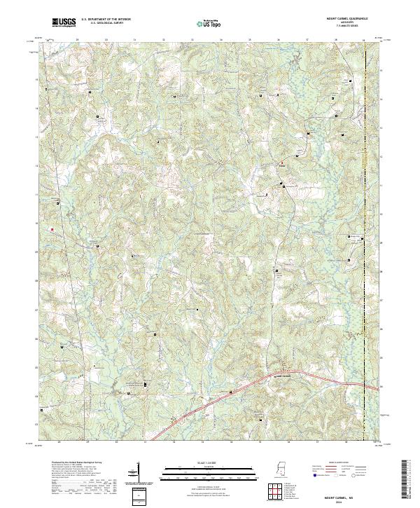
1970 Mount Carmel
Jefferson Davis County, MS
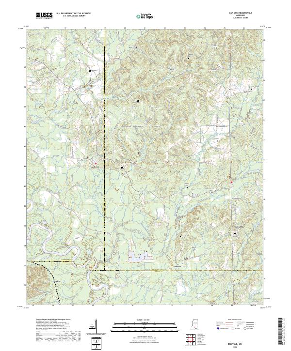
1970 Oak Vale
Jefferson Davis County, MS
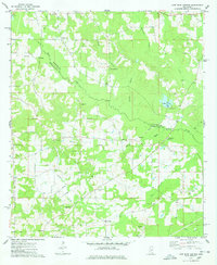
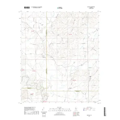
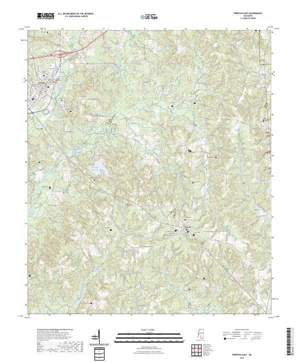
1970 Prentiss East
Jefferson Davis County, MS
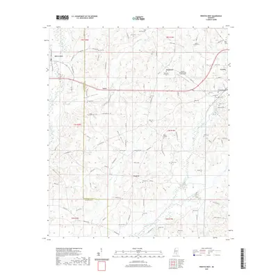
1970 Prentiss West
Jefferson Davis County, MS
1974 Lake Mike Connor
Jefferson Davis County, MS
2012 Bunker Hill
Jefferson Davis County, MS
2012 Lake Mike Connor
Jefferson Davis County, MS
2012 Mount Carmel
Jefferson Davis County, MS
2012 Oak Vale
Jefferson Davis County, MS
2012 Prentiss East
Jefferson Davis County, MS
2012 Prentiss West
Jefferson Davis County, MS
2015 Bunker Hill
Jefferson Davis County, MS
2015 Lake Mike Connor
Jefferson Davis County, MS
2015 Mount Carmel
Jefferson Davis County, MS
2015 Oak Vale
Jefferson Davis County, MS
2015 Prentiss East
Jefferson Davis County, MS
2015 Prentiss West
Jefferson Davis County, MS
2018 Bunker Hill
Jefferson Davis County, MS
2018 Lake Mike Connor
Jefferson Davis County, MS
2018 Mount Carmel
Jefferson Davis County, MS
2018 Oak Vale
Jefferson Davis County, MS
2018 Prentiss East
Jefferson Davis County, MS
2018 Prentiss West
Jefferson Davis County, MS
2020 Bunker Hill
Jefferson Davis County, MS
2020 Lake Mike Connor
Jefferson Davis County, MS
2020 Mount Carmel
Jefferson Davis County, MS
2020 Oak Vale
Jefferson Davis County, MS
2020 Prentiss East
Jefferson Davis County, MS
2020 Prentiss West
Jefferson Davis County, MS
2024 Bunker Hill
Jefferson Davis County, MS
2024 Lake Mike Connor
Jefferson Davis County, MS
2024 Mount Carmel
Jefferson Davis County, MS
2024 Oak Vale
Jefferson Davis County, MS
2024 Prentiss East
Jefferson Davis County, MS
2024 Prentiss West
Jefferson Davis County, MS