
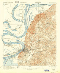
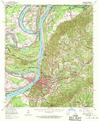
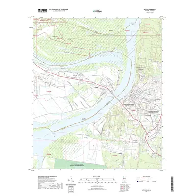
1956 Map of Natchez
USGS Topo · Published 1956About this map
The Mississippi River defines the western edge of this 1950s survey, anchoring the historic river towns of Natchez and Vidalia while creating a complex landscape of oxbow lakes. Water bodies such as Lake Bruin, Lake Saint John, and Lake Concordia reveal the river's former paths, framing old settlements like Saint Joseph and Waterproof. Moving inland from the alluvial plains, the terrain rises into the Pine Hills and the extensive Homochitto National Forest.
Find a feature on this map
58 named features on this map. Tap any name to fly to it.
Don’t see what you’re looking for? This feature index may not catch every label — zoom into the map to look around manually.
Map Details
Editions of this 1956 Natchez Map
This is the sole edition of this map. No revisions or reprints were ever made.
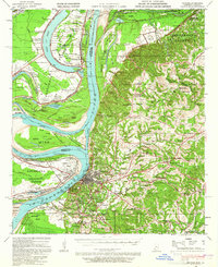
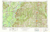
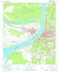
Historical Maps of Natchez Through Time
15 maps found

1921 Natchez
Adams County, MS
1922 Natchez
Adams County, MS
1939 Natchez
Adams County, MS
1953 Natchez
Adams County, MS
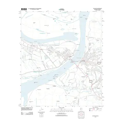
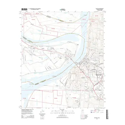
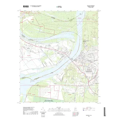
1956 Natchez
Adams County, MS

1959 Natchez
Adams County, MS
1963 Natchez
Adams County, MS
1965 Natchez
Adams County, MS

1984 Natchez
Adams County, MS

1991 Natchez
Adams County, MS
2012 Natchez
Adams County, MS
2015 Natchez
Adams County, MS
2018 Natchez
Adams County, MS
2020 Natchez
Adams County, MS
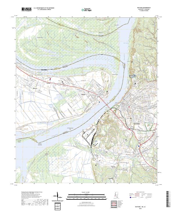
2024 Natchez
Adams County, MS