
1906 Map of Bayou Sara
USGS Topo · Published 1906About this map
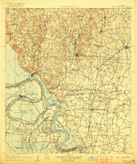
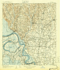
St Francisville and the high bluffs overlooking the Mississippi River anchor this 1904 survey of the central Louisiana lowlands. The geography is defined by the river’s dynamic movement, most notably the prominent oxbow of the False River which isolates False Island and the expansive Grand Swamp to the west. Eastward, the landscape transitions into the rolling terrain of the Felicianas, where the Yazoo and Mississippi Valley RR and its Woodville Branch connect a network of agricultural settlements like Wakefield and Jackson.
Find a feature on this map
126 named features on this map. Tap any name to fly to it.
Don’t see what you’re looking for? This feature index may not catch every label — zoom into the map to look around manually.
Map Details
Editions of this 1906 Bayou Sara Map
3 editions found
Other maps of this area

1908 · Baton Rouge
USGS Topo · 1:62,500

1934 · Denham Springs
USGS Topo · 1:62,500

1935 · Osca Bayou
USGS Topo · 1:62,500

1936 · Woodville
USGS Topo · 1:62,500

1939 · St. Francisville
USGS Topo · 1:62,500

1939 · Zachary
USGS Topo · 1:62,500

1939 · Denham Springs
USGS Topo · 1:62,500

1939 · Artonish
USGS Topo · 1:62,500

1939 · Baton Rouge
USGS Topo · 1:62,500

1939 · Fordoche
USGS Topo · 1:62,500