
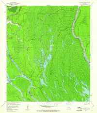
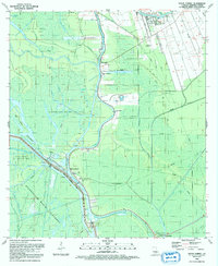
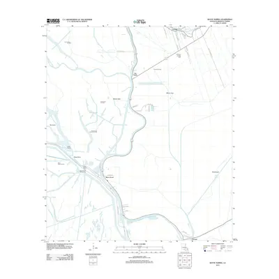
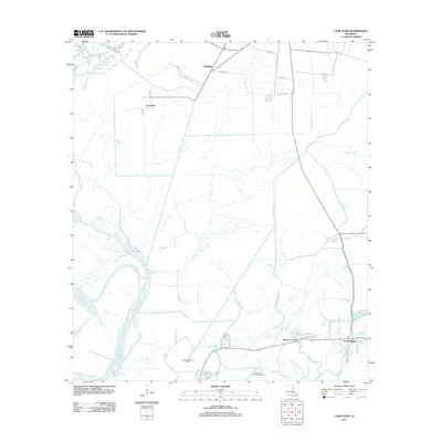
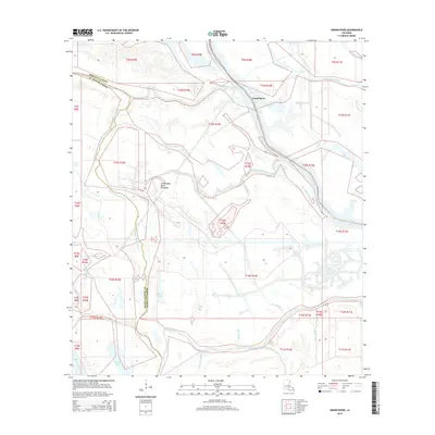
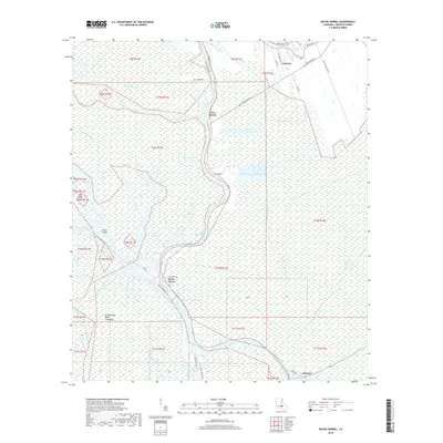
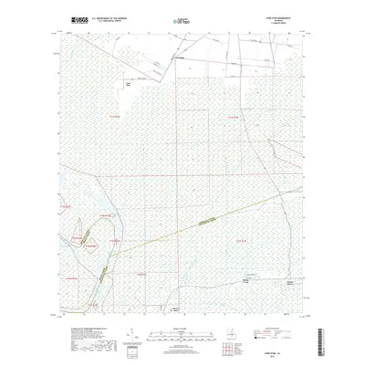
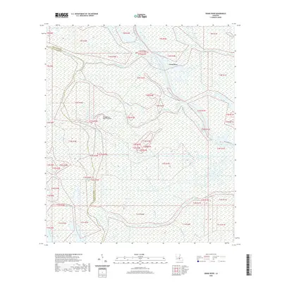
1935 Map of Osca Bayou
USGS Topo · Published 1938About this map
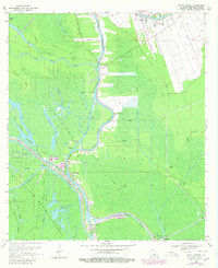
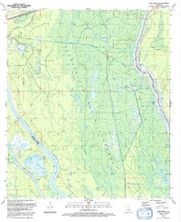
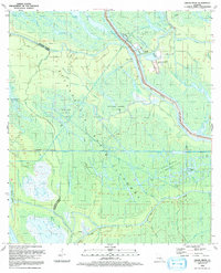
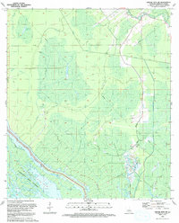
The Atchafalaya River and its intricate distributary system dominate this mid-1930s landscape, revealing a world of bayous, lakes, and swampy islands long before modern flood control reshaped the basin. Evidence of early industrial activity appears with an Oil Well near the center of the sheet, while the northern reaches show more established settlement patterns. The community of Maringouin serves as a local hub, anchored by the St Joseph Ch & Cem and supported by the Texas and Pacific Railroad.
Find a feature on this map
48 named features on this map. Tap any name to fly to it.
Don’t see what you’re looking for? This feature index may not catch every label — zoom into the map to look around manually.
Map Details
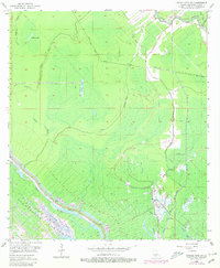
Editions of this 1935 Osca Bayou Map
This is the sole edition of this map. No revisions or reprints were ever made.
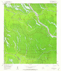
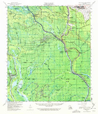
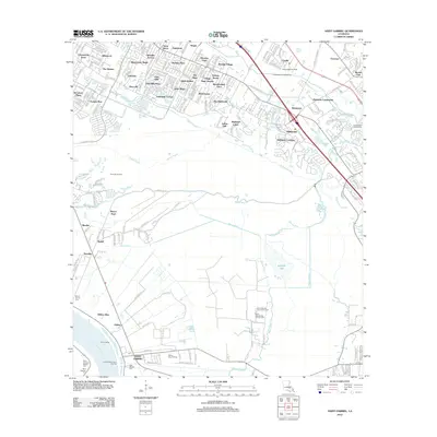
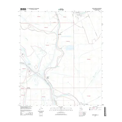
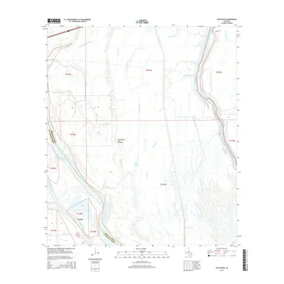
Historical Maps of Maringouin Through Time
47 maps found

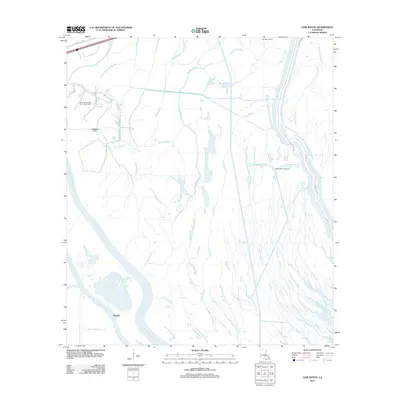
1935 Chicot Lake
Iberville Parish, LA
1935 Osca Bayou
Iberville Parish, LA
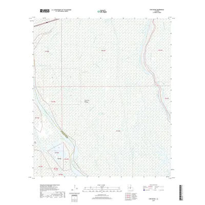
1953 Cow Bayou
Iberville Parish, LA
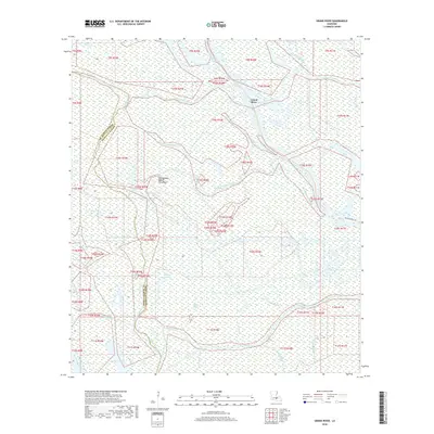
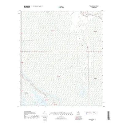
1953 Grosse Tete SW
Iberville Parish, LA
1953 Pigeon Bay
Iberville Parish, LA

1954 Chicot Lake
Iberville Parish, LA

1955 Chicot Lake
Iberville Parish, LA

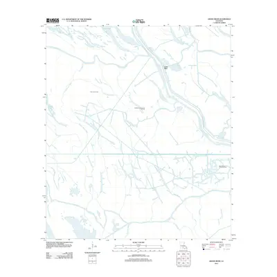
1955 Osca Bayou
Iberville Parish, LA
1959 Lake Chicot
Iberville Parish, LA
1969 Bayou Sorrel
Iberville Parish, LA
1969 Cow Bayou
Iberville Parish, LA
1969 Grand River
Iberville Parish, LA
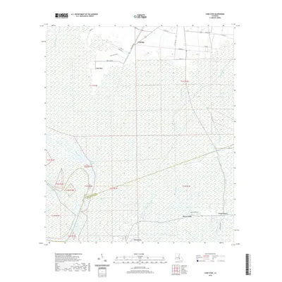
1974 Lone Star
Iberville Parish, LA
1992 Bayou Sorrel
Iberville Parish, LA
1992 Cow Bayou
Iberville Parish, LA
1992 Grand River
Iberville Parish, LA
1992 Grosse Tete SW
Iberville Parish, LA
2012 Bayou Sorrel
Iberville Parish, LA
2012 Cow Bayou
Iberville Parish, LA
2012 Grand River
Iberville Parish, LA
2012 Grosse Tete SW
Iberville Parish, LA
2012 Lone Star
Iberville Parish, LA
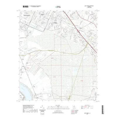
2012 Saint Gabriel
Iberville Parish, LA
2015 Bayou Sorrel
Iberville Parish, LA
2015 Cow Bayou
Iberville Parish, LA
2015 Grand River
Iberville Parish, LA
2015 Grosse Tete SW
Iberville Parish, LA
2015 Lone Star
Iberville Parish, LA
2015 Saint Gabriel
Iberville Parish, LA
2018 Bayou Sorrel
Iberville Parish, LA
2018 Cow Bayou
Iberville Parish, LA
2018 Grand River
Iberville Parish, LA
2018 Grosse Tete SW
Iberville Parish, LA
2018 Lone Star
Iberville Parish, LA
2018 Saint Gabriel
Iberville Parish, LA
2020 Bayou Sorrel
Iberville Parish, LA
2020 Cow Bayou
Iberville Parish, LA
2020 Grand River
Iberville Parish, LA
2020 Grosse Tete SW
Iberville Parish, LA
2020 Lone Star
Iberville Parish, LA
2020 Saint Gabriel
Iberville Parish, LA
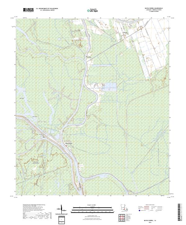
2024 Bayou Sorrel
Iberville Parish, LA
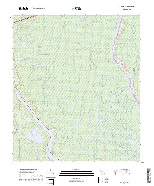
2024 Cow Bayou
Iberville Parish, LA
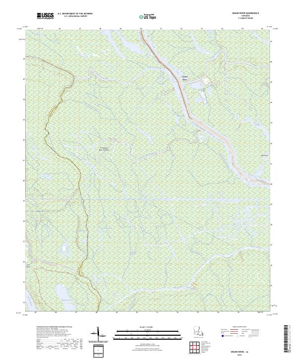
2024 Grand River
Iberville Parish, LA
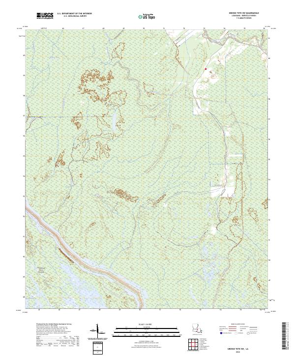
2024 Grosse Tete SW
Iberville Parish, LA
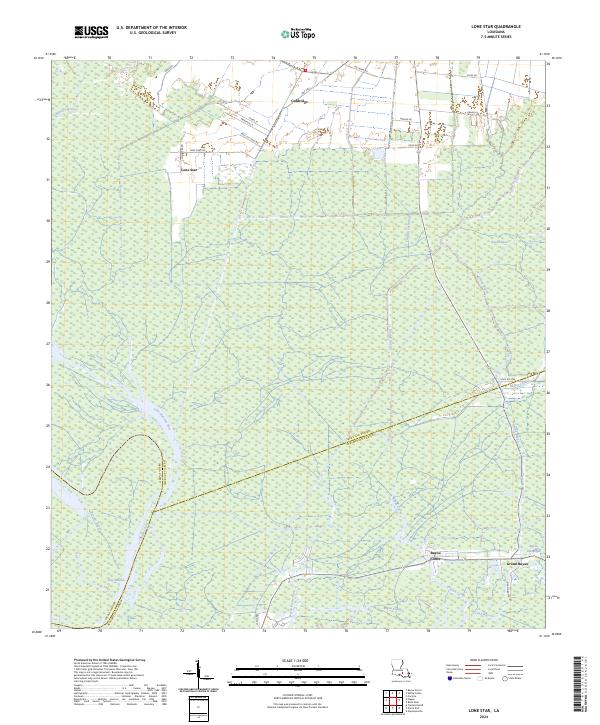
2024 Lone Star
Iberville Parish, LA
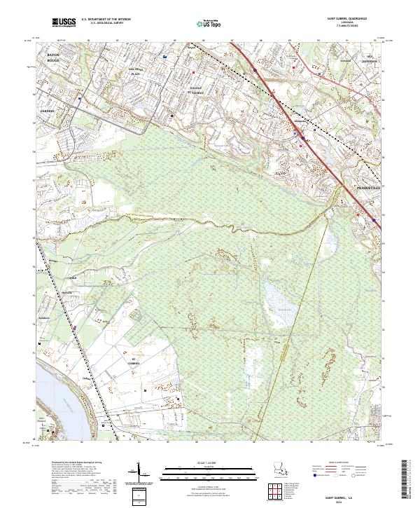
2024 Saint Gabriel
Iberville Parish, LA