
1940 Map of Arnaudville
USGS Topo · Published 1964About this map
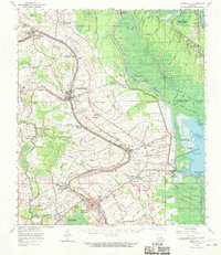
Bayou Teche and the Atchafalaya River dominate this complex Cajun heartland landscape, where a dense network of coulees, canals, and levees defines the movement of water and people. The map illustrates a transitional era for St Landry Parish and St Martin Parish, where traditional agricultural lands like Le Bourgeois Plantation and Magenta Plantation sit alongside emerging industrial footprints such as the Anse La Butte Oil Field. The complexity of the river system is evident in the notes of the Cypremort Crevasse May 1927, a reminder of the massive flood just over a decade prior to this survey.
Find a feature on this map
100 named features on this map. Tap any name to fly to it.
Don’t see what you’re looking for? This feature index may not catch every label — zoom into the map to look around manually.
Map Details
Editions of this 1940 Arnaudville Map
This is the sole edition of this map. No revisions or reprints were ever made.
Historical Maps of Lafayette Through Time
9 maps found
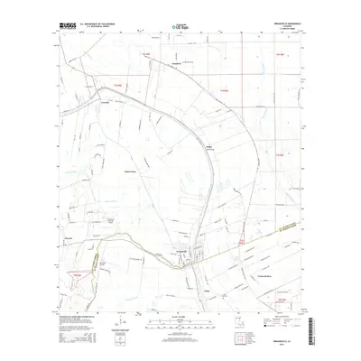
1940 Arnaudville
St. Landry Parish, LA
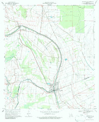
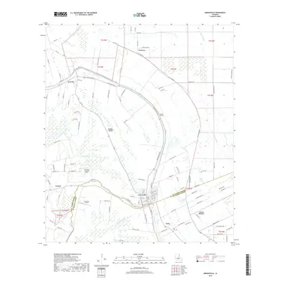
1963 Arnaudville
St. Landry Parish, LA
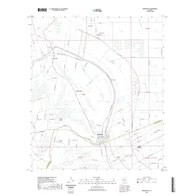
1970 Arnaudville
St. Landry Parish, LA
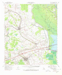
1970 Arnaudville
St. Landry Parish, LA
2012 Arnaudville
St. Landry Parish, LA
2015 Arnaudville
St. Landry Parish, LA
2018 Arnaudville
St. Landry Parish, LA
2020 Arnaudville
St. Landry Parish, LA
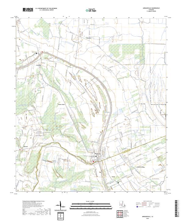
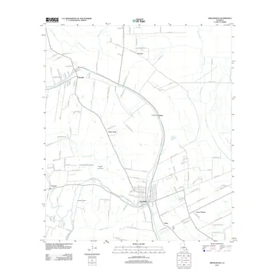
2024 Arnaudville
St. Landry Parish, LA