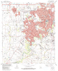
1946 Map of Lafayette
USGS Topo · Published 1946About this map
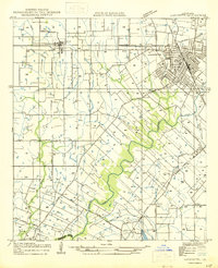
Lafayette serves as the focal point of this mid-century survey, revealing a landscape defined by the winding course of the Vermilion River and the extensive system of drainage ditches and coulees including Coulee Poches. The map documents a period of academic and urban expansion, notably featuring the Louisiana Southwestern Institute and the organized street grid of the city's core near City Park. Beyond the city limits, the land is partitioned into a complex arrangement of long-lot land grants, a hallmark of French-influenced settlement patterns in the region.
Find a feature on this map
30 named features on this map. Tap any name to fly to it.
Don’t see what you’re looking for? This feature index may not catch every label — zoom into the map to look around manually.
Map Details
Editions of this 1946 Lafayette Map
This is the sole edition of this map. No revisions or reprints were ever made.
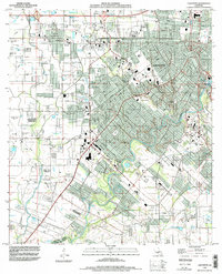
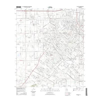
Historical Maps of Lafayette Through Time
11 maps found
1946 Lafayette
Lafayette Parish, LA
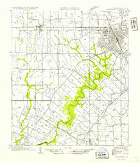
1954 Lafayette
Lafayette Parish, LA
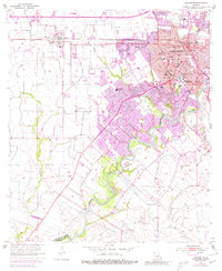
1955 Lafayette
Lafayette Parish, LA
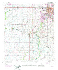
1955 Lafayette
Lafayette Parish, LA
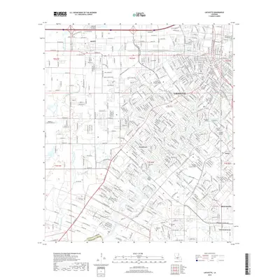
1983 Lafayette
Lafayette Parish, LA
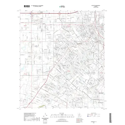
1994 Lafayette
Lafayette Parish, LA
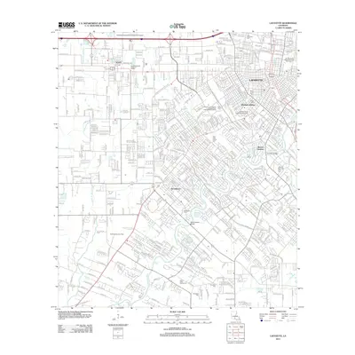
2012 Lafayette
Lafayette Parish, LA
2015 Lafayette
Lafayette Parish, LA
2018 Lafayette
Lafayette Parish, LA
2020 Lafayette
Lafayette Parish, LA
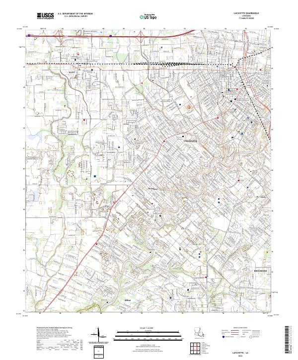
2024 Lafayette
Lafayette Parish, LA