
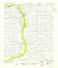
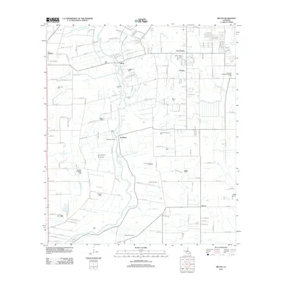
1946 Map of Milton
USGS Topo · Published 1946About this map
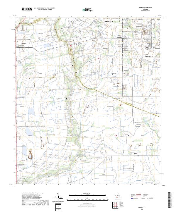
The Vermilion River carves a winding path through this portion of Acadiana, serving as a natural boundary between Lafayette Parish and Vermilion Parish. The landscape is a network of agricultural land and drainage systems, defined by features like the Hunter Irrigation Canal and numerous coulees, including Granges Coulee and Anselm Coulee. Small rural communities and schoolhouses are distributed across the prairie, with LeBlanc Sch and Langlinais Sch serving the outlying homesteads. The Southern Pacific railroad provides a primary industrial spine through the eastern portion of the quadrangle, connecting the settlements of Youngsville and Flanders. This mid-century survey, based on 1930s field examinations, preserves the transition of the region from a purely water-dependent agricultural economy to one increasingly integrated by the growing network of roads like State Highway No 43 and State Highway No 175.
Find a feature on this map
18 named features on this map. Tap any name to fly to it.
Don’t see what you’re looking for? This feature index may not catch every label — zoom into the map to look around manually.
Map Details
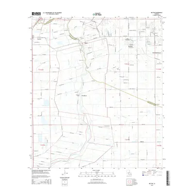
Editions of this 1946 Milton Map
This is the sole edition of this map. No revisions or reprints were ever made.
Historical Maps of Lafayette Through Time
10 maps found
1946 Milton
Lafayette Parish, LA
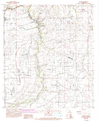
1954 Milton
Lafayette Parish, LA
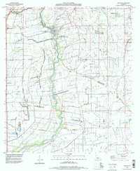
1983 Milton
Lafayette Parish, LA
1994 Milton
Lafayette Parish, LA
1998 Milton
Lafayette Parish, LA
2012 Milton
Lafayette Parish, LA
2015 Milton
Lafayette Parish, LA
2018 Milton
Lafayette Parish, LA
2020 Milton
Lafayette Parish, LA
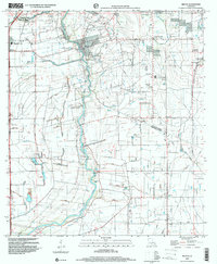
2024 Milton
Lafayette Parish, LA