
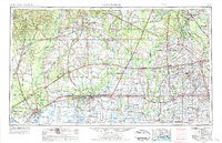
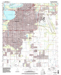
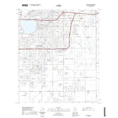
1952 Map of Lake Charles
USGS Topo · Published 1952About this map
Lake Charles anchors this mid-century landscape, a hub of industrial growth and natural preserve at the intersection of Southwest Louisiana’s coastal wetlands and timberlands. The post-war economy is evident in the dense concentration of oil and gas infrastructure, from the Sulphur Mines Oil Field to the Bancroft Oil and Gas Field, reflecting the era's rapid petrochemical expansion. This development exists alongside vast protected areas like the Lacassine Migratory Waterfowl Refuge and the southern reaches of the Kisatchie National Forest.
Find a feature on this map
183 named features on this map. Tap any name to fly to it.
Don’t see what you’re looking for? This feature index may not catch every label — zoom into the map to look around manually.
Map Details
Editions of this 1952 Lake Charles Map
This is the sole edition of this map. No revisions or reprints were ever made.
Historical Maps of Lafayette Through Time
12 maps found

1942 Lake Charles
Calcasieu Parish, LA
1952 Lake Charles
Calcasieu Parish, LA
1954 Lake Charles
Calcasieu Parish, LA
1955 Lake Charles
Calcasieu Parish, LA
1955 Lake Charles
Calcasieu Parish, LA
1986 Lake Charles
Calcasieu Parish, LA
1994 Lake Charles
Calcasieu Parish, LA
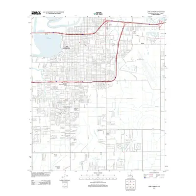
2012 Lake Charles
Calcasieu Parish, LA
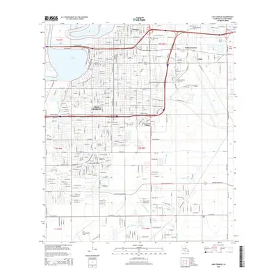
2015 Lake Charles
Calcasieu Parish, LA
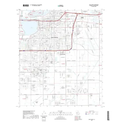
2018 Lake Charles
Calcasieu Parish, LA
2020 Lake Charles
Calcasieu Parish, LA
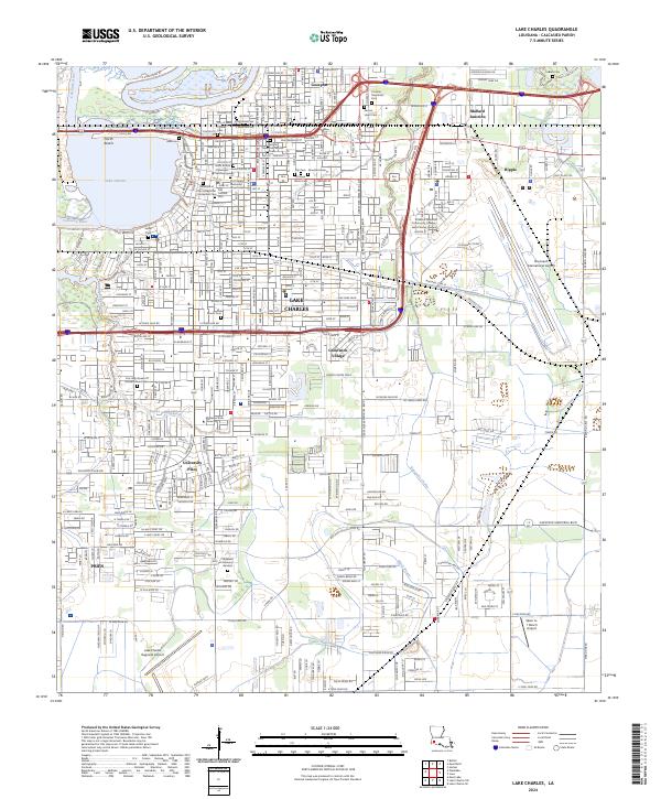
2024 Lake Charles
Calcasieu Parish, LA