
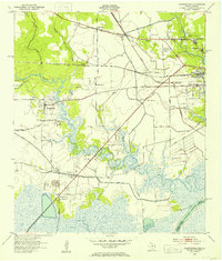
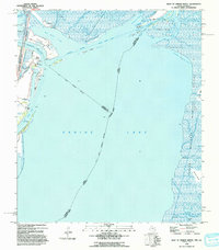
1926 Map of Texla
USGS Topo · Published 1926About this map
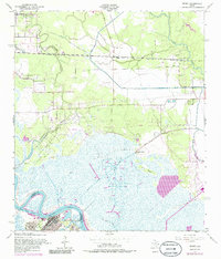
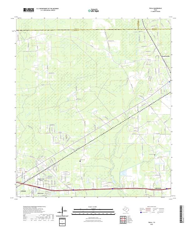
Cow Bayou meanders through this portion of Orange County during the mid-1920s, a period where timber and rail infrastructure defined the local geography. The settlement of Texla stands near the northern boundary, while Bowen and Doty are situated along the primary transportation corridors. This survey is particularly notable for capturing the transition from traditional overland routes like the Spanish Trail to early modern automotive infrastructure such as State and Northwestern Highway No 62. For genealogists and local historians, the Linscomb Cem provides a specific point of family history, while the presence of several defunct lines labeled Old RR Grade and Old Grade RR reflects the changing industrial landscape. The Kansas City Southern railroad serves as the region's backbone, cutting a diagonal path across the low-lying terrain that is also intersected by a significant Pipe Line.
Find a feature on this map
14 named features on this map. Tap any name to fly to it.
Don’t see what you’re looking for? This feature index may not catch every label — zoom into the map to look around manually.
Map Details
Editions of this 1926 Texla Map
This is the sole edition of this map. No revisions or reprints were ever made.
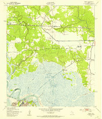
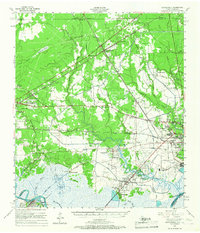
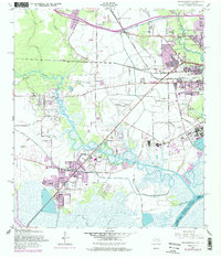
Historical Maps of Orange Through Time
20 maps found

1926 Lakeview
Orange County, TX

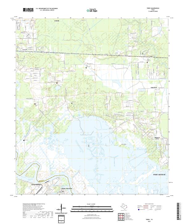
1926 Terry
Orange County, TX
1926 Texla
Orange County, TX
1943 Orangefield
Orange County, TX
1943 Terry
Orange County, TX

1943 Texla
Orange County, TX

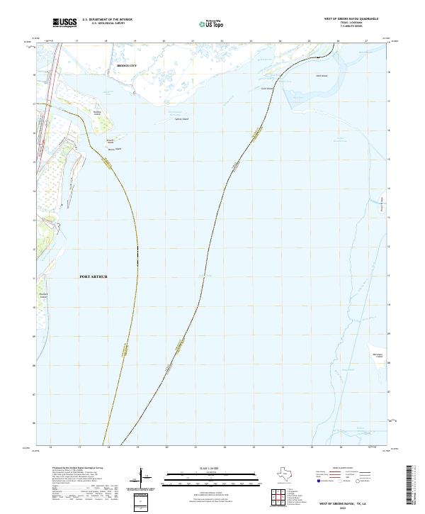
1943 West of Greens Bayou
Orange County, TX
1957 Orangefield
Orange County, TX
1957 Orangefield
Orange County, TX
1957 Terry
Orange County, TX
1957 Texla
Orange County, TX
1957 West of Greens Bayou
Orange County, TX
1960 Echo
Orange County, TX
1993 West of Greens Bayou
Orange County, TX
1994 Echo
Orange County, TX
2022 Echo
Orange County, TX
2022 Orangefield
Orange County, TX
2022 Terry
Orange County, TX
2022 Texla
Orange County, TX
2022 West of Greens Bayou
Orange County, TX