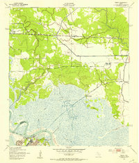
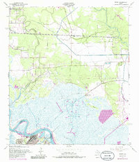
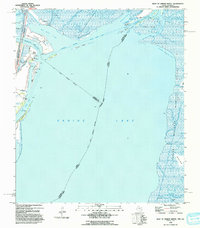
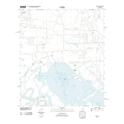
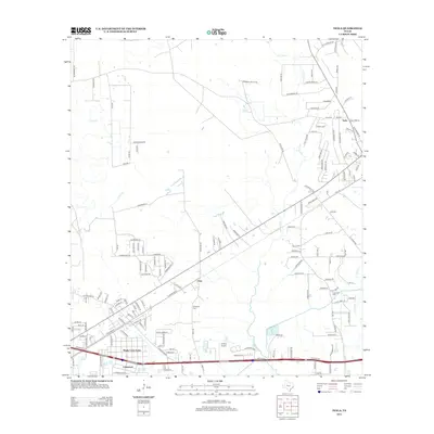
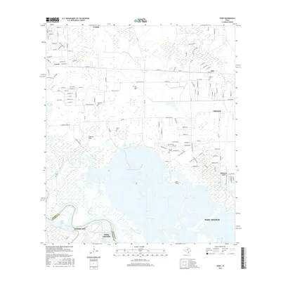
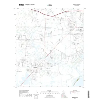
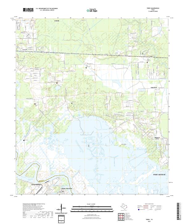
1943 Map of Terry
USGS Topo · Published 1953About this map
Southern Pacific tracks cut horizontally across the marshy lowlands of Orange County in the years during World War II, connecting the small community of Terry with neighboring Oilla. This landscape is defined by its complex hydrology, where the Neches River forms the southern boundary near Smith Bluff, and an extensive network of artificial embankments, or levee systems, protects the low-lying terrain from the surrounding bayous. The industrial and navigational infrastructure of the era is evident in the Bessie Heights Canal and the presence of an Airway Beacon, marking this as a vital corridor for both rail and air transit.
Find a feature on this map
25 named features on this map. Tap any name to fly to it.
Don’t see what you’re looking for? This feature index may not catch every label — zoom into the map to look around manually.
Map Details
Editions of this 1943 Terry Map
This is the sole edition of this map. No revisions or reprints were ever made.
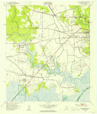
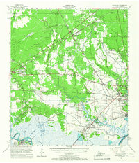
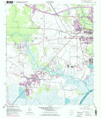
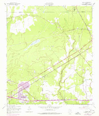
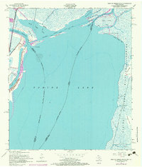
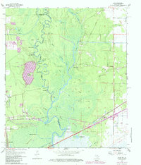
Historical Maps of Port Arthur Through Time
40 maps found

1926 Lakeview
Orange County, TX

1926 Terry
Orange County, TX

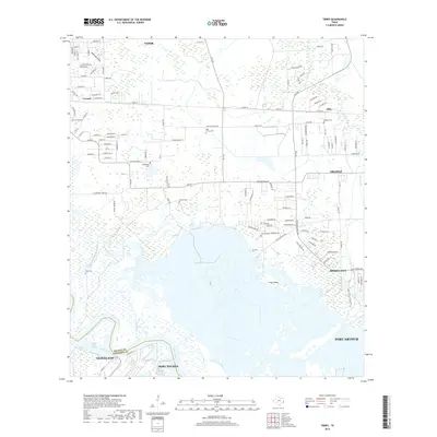
1926 Texla
Orange County, TX
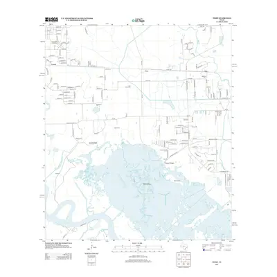
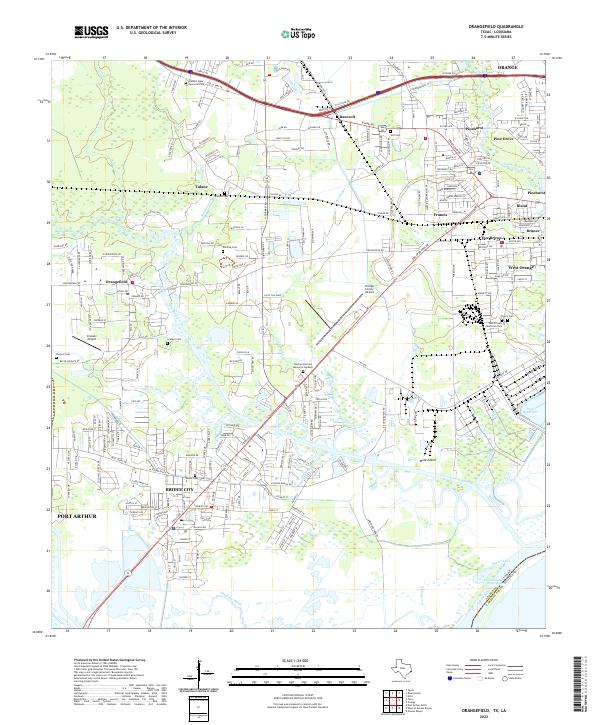
1943 Orangefield
Orange County, TX
1943 Terry
Orange County, TX

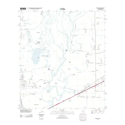
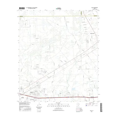
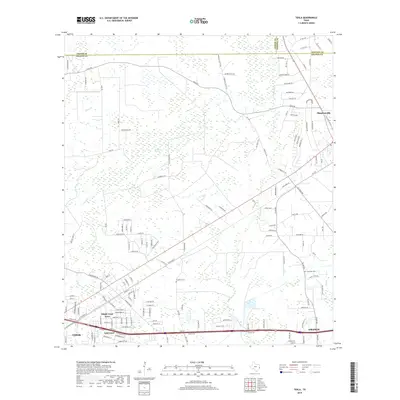
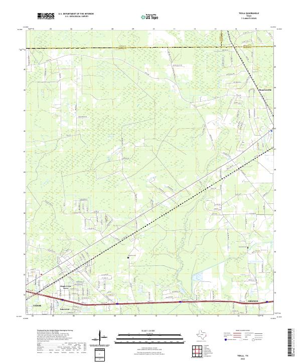
1943 Texla
Orange County, TX

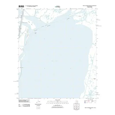
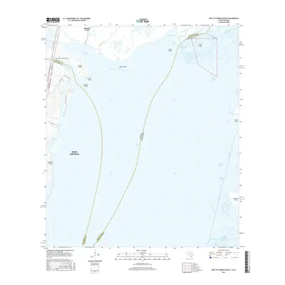
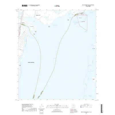
1943 West of Greens Bayou
Orange County, TX
1957 Orangefield
Orange County, TX
1957 Orangefield
Orange County, TX
1957 Terry
Orange County, TX
1957 Texla
Orange County, TX
1957 West of Greens Bayou
Orange County, TX
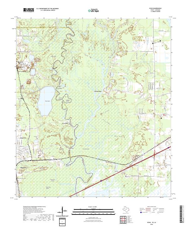
1960 Echo
Orange County, TX
1993 West of Greens Bayou
Orange County, TX
1994 Echo
Orange County, TX
2010 Echo
Orange County, TX
2010 Orangefield
Orange County, TX
2010 Terry
Orange County, TX

2010 Texla
Orange County, TX
2010 West of Greens Bayou
Orange County, TX
2012 Echo
Orange County, TX

2012 Orangefield
Orange County, TX
2012 Terry
Orange County, TX
2012 Texla
Orange County, TX
2013 West of Greens Bayou
Orange County, TX
2016 Echo
Orange County, TX
2016 Orangefield
Orange County, TX
2016 Terry
Orange County, TX
2016 Texla
Orange County, TX
2016 West of Greens Bayou
Orange County, TX
2019 Echo
Orange County, TX
2019 Orangefield
Orange County, TX
2019 Terry
Orange County, TX
2019 Texla
Orange County, TX
2019 West of Greens Bayou
Orange County, TX
2022 Echo
Orange County, TX
2022 Orangefield
Orange County, TX
2022 Terry
Orange County, TX
2022 Texla
Orange County, TX
2022 West of Greens Bayou
Orange County, TX