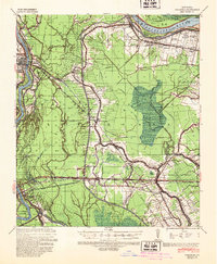
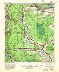
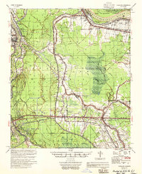
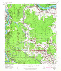
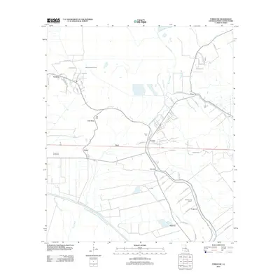
1939 Map of Fordoche
USGS Topo · Published 1948About this map
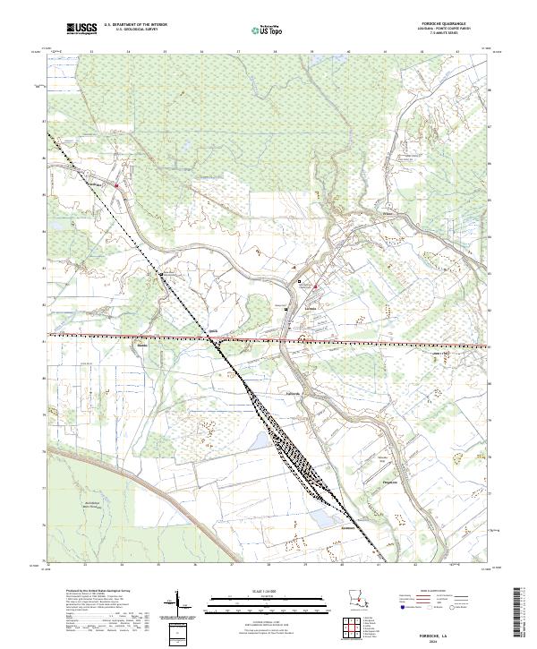
The Atchafalaya River and the Mississippi River frame a landscape defined by intricate bayous and the reach of early 20th-century railroads. This 1930s survey, published following the Flood Control Act of 1939, documents the complex hydraulic environment of Pointe Coupee Parish and St Landry Parish. The arrival of the Texas and Pacific and Missouri Pacific railroads facilitated the growth of timber and agricultural hubs like Melville, Fordoche, and Livonia.
Find a feature on this map
71 named features on this map. Tap any name to fly to it.
Don’t see what you’re looking for? This feature index may not catch every label — zoom into the map to look around manually.
Map Details
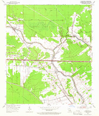
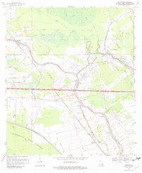
Editions of this 1939 Fordoche Map
2 editions found
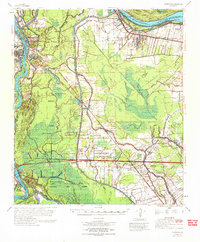
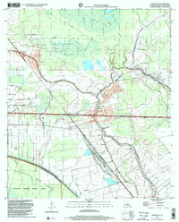
Historical Maps of Melville Through Time
12 maps found
1939 Fordoche
Pointe Coupee Parish, LA
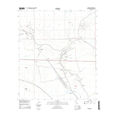
1954 Fordoche
Pointe Coupee Parish, LA
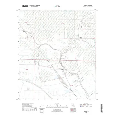
1955 Fordoche
Pointe Coupee Parish, LA
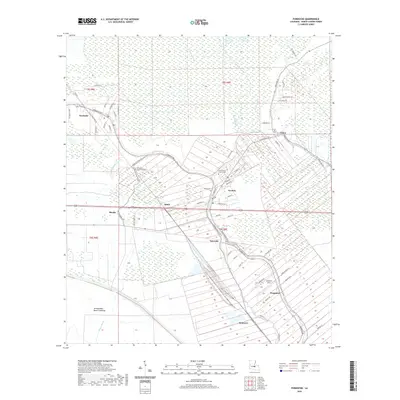
1959 Fordoche
Pointe Coupee Parish, LA
1969 Fordoche
Pointe Coupee Parish, LA
1970 Fordoche
Pointe Coupee Parish, LA
1998 Fordoche
Pointe Coupee Parish, LA
2012 Fordoche
Pointe Coupee Parish, LA
2015 Fordoche
Pointe Coupee Parish, LA
2018 Fordoche
Pointe Coupee Parish, LA
2020 Fordoche
Pointe Coupee Parish, LA
2024 Fordoche
Pointe Coupee Parish, LA