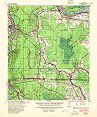
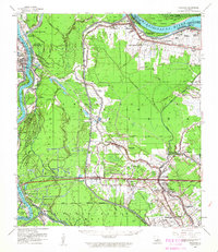
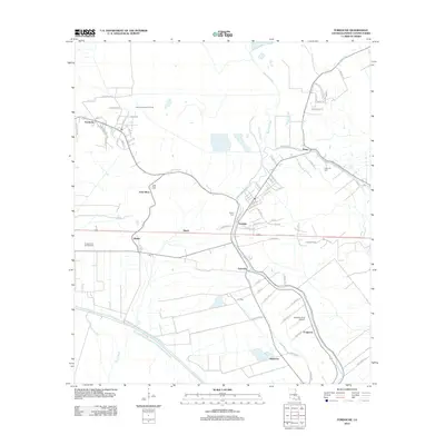
1939 Map of Fordoche
USGS Topo · Published 1954About this map
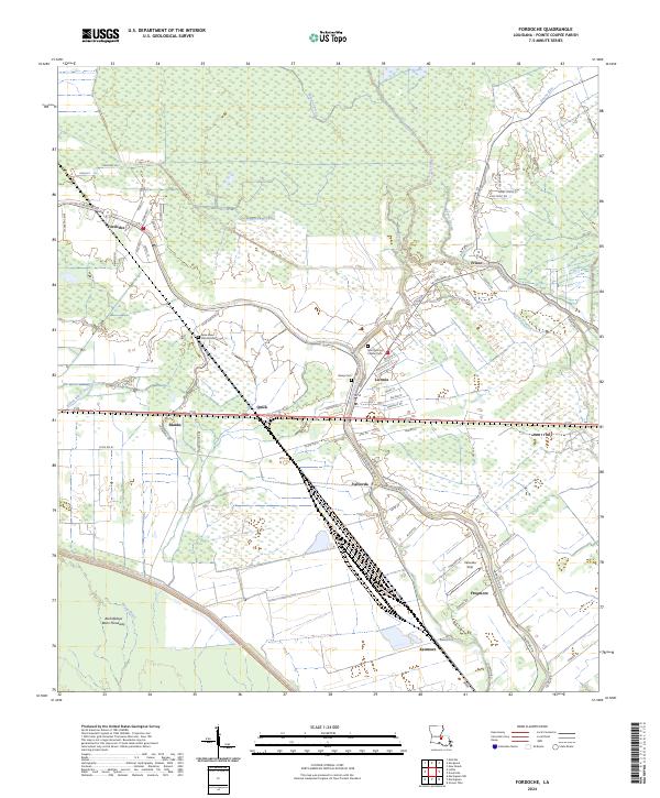
The Morganza Crevasse and the complex flood control works along the Mississippi River and Atchafalaya River define this 1930s landscape in Pointe Coupee Parish. This era captures a river-dependent economy transitioning from the plantation system to a rail-and-utility network, with large estates like Argyle Plantation, Brunswick Plantation, and Stonewall Plantation still dominating the land divisions. The map reveals the intricate watercourse of the Bayou Fordoche and Bayou Grosse Tete, which were essential for local navigation and drainage before modern levee engineering fully altered the basin.
Find a feature on this map
74 named features on this map. Tap any name to fly to it.
Don’t see what you’re looking for? This feature index may not catch every label — zoom into the map to look around manually.
Map Details
Editions of this 1939 Fordoche Map
2 editions found
Historical Maps of Melville Through Time
12 maps found
1939 Fordoche
Pointe Coupee Parish, LA
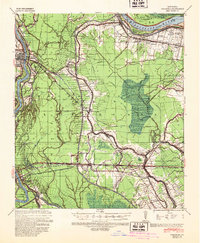
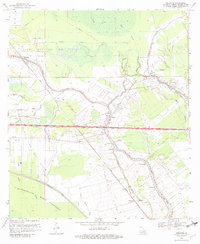
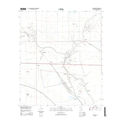
1954 Fordoche
Pointe Coupee Parish, LA
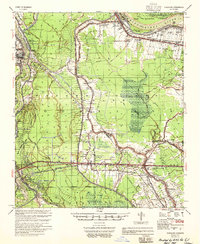
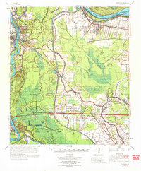
1955 Fordoche
Pointe Coupee Parish, LA
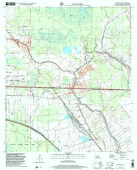
1959 Fordoche
Pointe Coupee Parish, LA
1969 Fordoche
Pointe Coupee Parish, LA
1970 Fordoche
Pointe Coupee Parish, LA
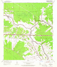
1998 Fordoche
Pointe Coupee Parish, LA
2012 Fordoche
Pointe Coupee Parish, LA
2015 Fordoche
Pointe Coupee Parish, LA
2018 Fordoche
Pointe Coupee Parish, LA
2020 Fordoche
Pointe Coupee Parish, LA
2024 Fordoche
Pointe Coupee Parish, LA