Old Maps of Krotz Springs, Louisiana
Explore 23 old maps of Krotz Springs, spanning from 1939 to today. These high-resolution historic maps reveal how streets, neighborhoods, landmarks, and natural features evolved over time — perfect for genealogy, metal detecting, research, and local history exploration.
What you can do with these maps:
- See how Krotz Springs changed over time: Compare historical maps to modern-day views to trace roads, homesites, rail lines & more.
- View detailed metadata: Each map includes creators, publishers, year, scale, and archive source.
- Overlay maps with satellite & LiDAR: Visualize the past alongside modern tools to explore terrain & human change.
- Trusted historical sources: Maps sourced from the USGS, Library of Congress, and other archives.
- Access maps your way: View online, download high-res files, or order prints for personal or research use.
Start exploring old maps of Krotz Springs to uncover forgotten places, hidden landmarks, and the deep history beneath your feet.
Krotz Springs, LA maps
(23)- 1939 Map of Fordoche, 1948 Print
 1939 Fordoche1948 Print · USGSThe rail-and-river corridor of Pointe Coupee Parish comes alive in this late 1930s survey, showing the land just as new flood controls were being established. Researchers can trace family history through rural community anchors like Sunlight Ch & Cem, Lottie, and Elliot City.2 unique versions available
 - 1954 Map of Baton Rouge, 1974 Print
 1954 Baton Rouge1974 Print · USGSSoutheast Louisiana in the mid-fifties is captured here during a period of transition for its river and rail economies. Researchers can trace the path of the Mississippi River and find landmarks like the Bonnet Carre Spillway and Bayou Plaquemine.2 unique versions available
 - 1955 Map of Fordoche
 1955 Fordoche1955 Print · USGSMid-century Pointe Coupee Parish reveals a landscape of massive flood control projects and active bayou life during the 1950s. Genealogists and researchers can locate family landmarks like Argyle Plantation or the Zion Traveler Ch & Cem and trace the early development of the Fordoche Oil Field.
 - 1956 Map of Baton Rouge
 1956 Baton Rouge1956 Print · USGSSouth Louisiana at the height of the mid-century oil boom shows a landscape of river oxbows and rising industry. Researchers can trace family roots through river towns like Scotlandville or locate early industrial sites and Oil wells near Lake Maurepas.
 - 1959 Map of Fordoche, 1962 Print
 1959 Fordoche1962 Print · USGSLouisiana's river country is captured here in the late fifties, as the oil industry began to shape the landscape of Pointe Coupee Parish. Genealogists can locate family landmarks like Cottonwood Cem., Argyle Plantation, and the Sunlight Ch. near Blanks.2 unique versions available
 - 1959 Map of Palmetto, 1962 Print
 1959 Palmetto1962 Print · USGSSt. Landry Parish is mapped here just before the 1960s, showing the intersection of heavy industry, rail transport, and deep-water management. Researchers can locate family landmarks such as Godeau Cem., rural schools like Krotz Springs Sch., and the early footprints of the Melville Gas Field.2 unique versions available
 - 1961 Map of Baton Rouge, 1966 Print
 1961 Baton Rouge1966 Print · USGSSoutheastern Louisiana in the early sixties remains a landscape of deep river bends and sprawling coastal lakes. Genealogists and historians can trace the rail-and-river economy through landmarks like Free-Nigger Point, Donaldsonville, and the Illinois Central Railroad.
 - 1962 Map of Baton Rouge
 1962 Baton Rouge1962 Print · USGSSouth Louisiana in the early sixties reveals a landscape of river-bend parishes and emerging interstate corridors. Genealogists and historians can trace family roots through historic river towns like Donaldsonville and Plaquemine, or follow the path of the Illinois Central Railroad through the swamp basins.
 - 1968 Map of Krotz Springs, 1969 Print
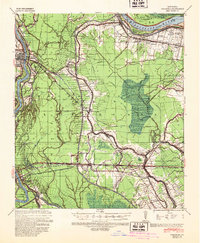
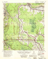
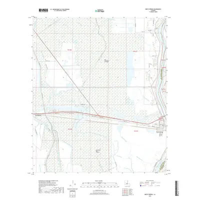
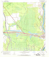 1968 Krotz Springs1969 Print · USGSSt. Landry Parish was a landscape of intensive water management and energy extraction in the late sixties. Trace the industrial footprint of the Krotz Springs Oil and Gas Field or locate burials at Midway Cem near the riverbanks.3 unique versions available
 - 1968 Map of Lottie, 1969 Print
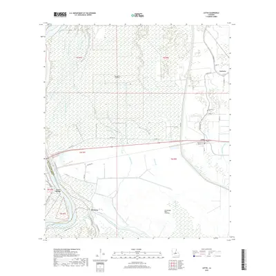
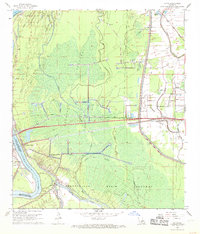 1968 Lottie1969 Print · USGSPointe Coupee Parish is shown here in the late sixties as the industrial landscape of the Atchafalaya Basin matured. Local historians can trace the energy and rail network through the Lottie Oil and Gas Field and the Missouri Pacific line near Lottie.2 unique versions available
 - 1970 Map of Fordoche, 1972 Print
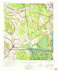
 1970 Fordoche1972 Print · USGSPointe Coupee Parish in the early seventies reveals a landscape defined by massive flood control projects and a growing oil economy. Genealogists and historians can trace family locations near Stonewall Plantation, the Valverda Sch, or the Indian Mound Valley Cem.
 - 1970 Map of Palmetto, 1972 Print
 1970 Palmetto1972 Print · USGSSt. Landry and Pointe Coupee Parishes are shown in the early seventies as a landscape of deep bayous and massive flood control works. Genealogists and historians can trace family locations near Rideau Settlement, Palmetto Cem, and Sacred Heart Ch.
 - 1983 Map of New Roads
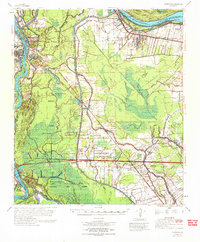
 1983 New Roads1983 Print · USGSThe river parishes of central Louisiana are documented in the early 1980s, showcasing the winding courses of the Atchafalaya and Mississippi. Genealogists and historians can trace rail-served river towns like Melville and Simmesport, or locate the Port Hudson National Cem and the State Penitentiary.2 unique versions available
 - 2012 Map of Krotz Springs, 2012 Print
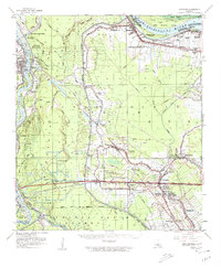
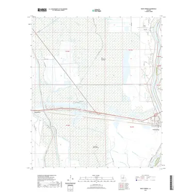
 2012 Krotz Springs2012 Print · USGSCovers Krotz Springs, including McClure, St. Landry Parish, and other nearby areas
 - 2012 Map of Lottie, 2012 Print
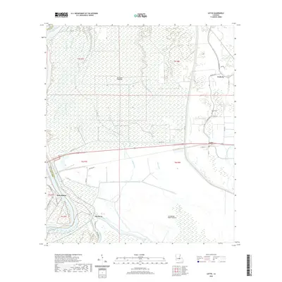
 2012 Lottie2012 Print · USGSCovers Krotz Springs, including Fordoche, Aline, and other nearby areas
 - 2015 Map of Krotz Springs, 2015 Print
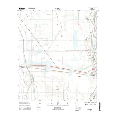 2015 Krotz Springs2015 Print · USGSCovers Krotz Springs, including McClure, St. Landry Parish, and other nearby areas
 - 2015 Map of Lottie, 2015 Print
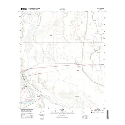 2015 Lottie2015 Print · USGSCovers Krotz Springs, including Fordoche, Aline, and other nearby areas
 - 2018 Map of Lottie, 2018 Print
 2018 Lottie2018 Print · USGSCovers Krotz Springs, including Fordoche, Aline, and other nearby areas
 - 2018 Map of Krotz Springs, 2018 Print
 2018 Krotz Springs2018 Print · USGSCovers Krotz Springs, including McClure, St. Landry Parish, and other nearby areas
 - 2020 Map of Lottie, 2020 Print
 2020 Lottie2020 Print · USGSCovers Krotz Springs, including Fordoche, Aline, and other nearby areas
 - 2020 Map of Krotz Springs, 2020 Print
 2020 Krotz Springs2020 Print · USGSCovers Krotz Springs, including McClure, St. Landry Parish, and other nearby areas
 - 2024 Map of Lottie, 2024 Print
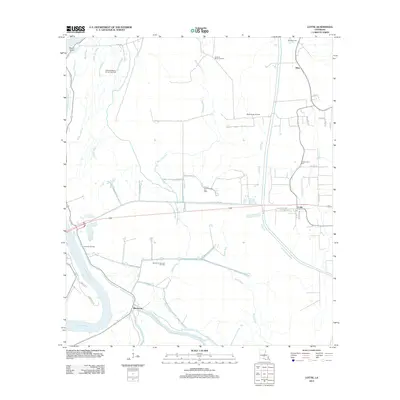
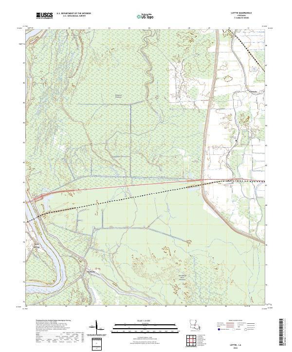 2024 Lottie2024 Print · USGSPointe Coupee Parish is shown here in the contemporary era, where the massive Morganza Floodway intersects with the local bayou system. Genealogists can locate Cottonwood Cem near Fordoche and trace old family roads like Charles Rd.
 - 2024 Map of Krotz Springs, 2024 Print
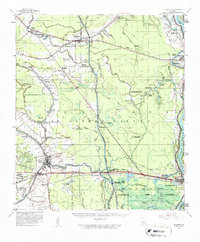
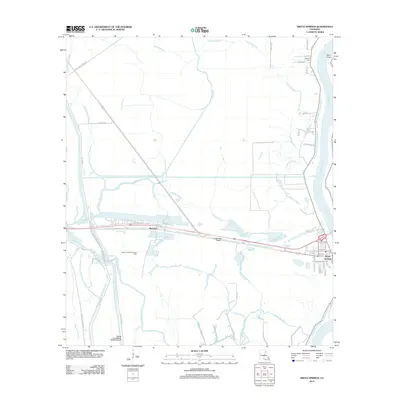
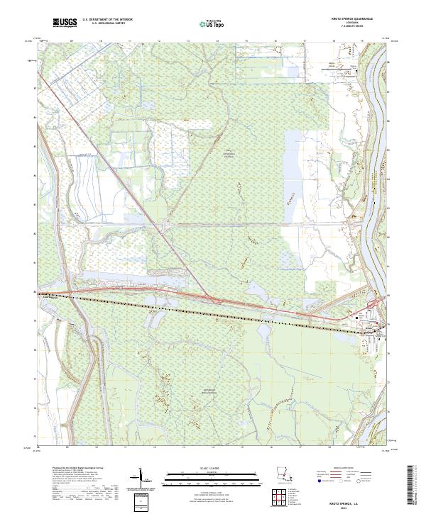 2024 Krotz Springs2024 Print · USGSLouisiana's river country comes into focus in this recent survey of the St. Landry Parish floodplains. Researchers can trace the layout of Krotz Springs and locate local landmarks like Saint Anthony Catholic Cem and Majors Airpark.
End of results
Showing maps 1-23 of 23
Top cities near Krotz Springs
- Breaux Bridge historical maps
- Port Barre historical maps
- Henderson historical maps
- Melville historical maps
- Livonia historical maps
- Arnaudville historical maps
See more
Frequently asked questions
- What are the different types of historical maps available for Krotz Springs?
- What is the oldest map of Krotz Springs?
- Where can I purchase historical maps of Krotz Springs for my home or office?
- Where can I download high-res historical maps of Krotz Springs?
- Are there historical topographic maps available for Krotz Springs?
- Is there historical aerial imagery available for Krotz Springs?
- Where are historical maps of Krotz Springs sourced from?