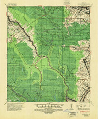
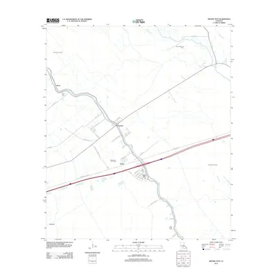
1940 Map of Grosse Tete
USGS Topo · Published 1950About this map
Mound Plantation and Shady Grove Plantation sit at the northern edge of this landscape, reflecting an era where large agricultural estates defined the river parishes. The Texas and Pacific RR cuts a diagonal path through the terrain, connecting settlements like Rosedale and Grosse Tete while serving industrial spurs such as Webress Spur. The environment is heavily influenced by the meandering courses of Bayou Maringouin and Bayou Grosse Tete, which dictated the placement of roads and homesteads.
Find a feature on this map
65 named features on this map. Tap any name to fly to it.
Don’t see what you’re looking for? This feature index may not catch every label — zoom into the map to look around manually.
Map Details
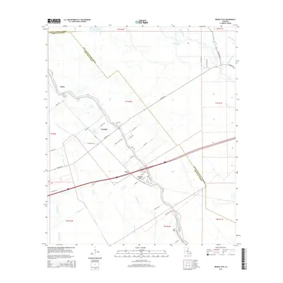
Editions of this 1940 Grosse Tete Map
This is the sole edition of this map. No revisions or reprints were ever made.
Historical Maps of Plaquemine Through Time
9 maps found
1940 Grosse Tete
Iberville Parish, LA
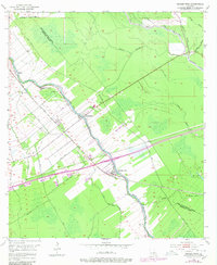
1954 Grosse Tete
Iberville Parish, LA
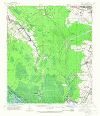
1962 Grosse Tete
Iberville Parish, LA
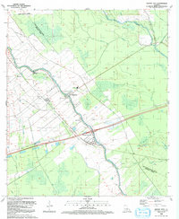
1992 Grosse Tete
Iberville Parish, LA
2012 Grosse Tete
Iberville Parish, LA
2015 Grosse Tete
Iberville Parish, LA
2018 Grosse Tete
Iberville Parish, LA
2020 Grosse Tete
Iberville Parish, LA

2024 Grosse Tete
Iberville Parish, LA