
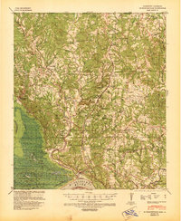
1939 Map of St. Francisville
USGS Topo · Published 1939About this map
St Francisville anchors this 1939 survey, situated along a sharp bend of the Mississippi River where the Meander Line 1828 reveals the shifting nature of the river's path over a century of navigation. The landscape of West Feliciana Parish is defined by its extensive plantation system and rural communities, including Magnolia Plantation, Rosalie Plantation, and Belmont Plantation. The complex network of watercourses, such as Thompson Creek and Sara Creek, supported a landscape of small post offices like Plettenberg P O and Corner P O.
Find a feature on this map
97 named features on this map. Tap any name to fly to it.
Don’t see what you’re looking for? This feature index may not catch every label — zoom into the map to look around manually.
Map Details
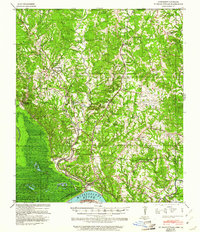
Editions of this 1939 St. Francisville Map
3 editions found
Other maps of this area

1906 · Bayou Sara
USGS Topo · 1:125,000

1936 · Woodville
USGS Topo · 1:62,500

1939 · Zachary
USGS Topo · 1:62,500

1939 · Artonish
USGS Topo · 1:62,500

1939 · Fordoche
USGS Topo · 1:62,500

1941 · Lost Creek
USGS Topo · 1:31,680

1941 · Batchelor
USGS Topo · 1:62,500

1945 · Jackson
USGS Topo · 1:31,680

1945 · Lost Creek
USGS Topo · 1:31,680

1953 · New Roads
USGS Topo · 1:24,000