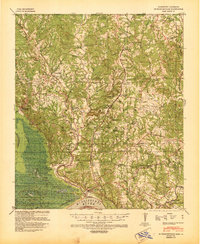
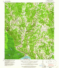
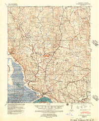
1939 Map of St. Francisville
USGS Topo · Published 1941About this map
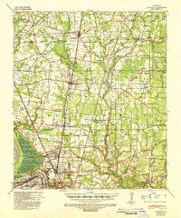
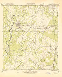
The Mississippi River creates a meandering western boundary for the terrace lands and deep ravines of West Feliciana Parish in the late 1930s. The landscape is defined by its antebellum heritage and early 20th-century agrarian economy, featuring a dense concentration of named estates such as Magnolia Plantation, Rosalie Plantation, and Belmont Plantation. The survey documents the specific locations of community centers like the Solitude Agricultural Settlement and dual-purpose landmarks such as Afton Villa Ch & Sch.
Find a feature on this map
89 named features on this map. Tap any name to fly to it.
Don’t see what you’re looking for? This feature index may not catch every label — zoom into the map to look around manually.
Map Details
Editions of this 1939 St. Francisville Map
3 editions found
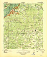
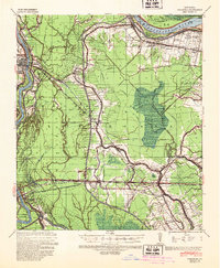
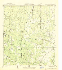
Other maps of this area

1906 · Bayou Sara
USGS Topo · 1:125,000
1936 · Woodville
USGS Topo · 1:62,500
1939 · St. Francisville
USGS Topo · 1:62,500
1939 · Zachary
USGS Topo · 1:62,500

1939 · Artonish
USGS Topo · 1:62,500
1939 · Fordoche
USGS Topo · 1:62,500

1941 · Lost Creek
USGS Topo · 1:31,680

1941 · Batchelor
USGS Topo · 1:62,500
1945 · Jackson
USGS Topo · 1:31,680
1945 · Lost Creek
USGS Topo · 1:31,680