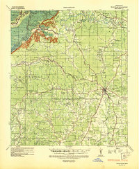
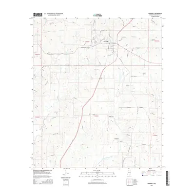
1936 Map of Woodville
USGS Topo · Published 1944About this map
Woodville serves as the focal point of this southwestern Mississippi survey, situated amid a landscape defined by an extensive system of historic estates and plantations. The map documents numerous large holdings such as La Grange Plantation, Woodlawn Plantation, and Greenland Plantation, reflecting the region's long-established agrarian character. Beyond the town center, a dense network of country churches and combined schoolhouses like Venice Ch & Sch and Fountainbleau Ch & Sch provide a detailed look at rural social geography in the mid-1930s.
Find a feature on this map
130 named features on this map. Tap any name to fly to it.
Don’t see what you’re looking for? This feature index may not catch every label — zoom into the map to look around manually.
Map Details
Editions of this 1936 Woodville Map
This is the sole edition of this map. No revisions or reprints were ever made.
Historical Maps of Woodville Through Time
10 maps found
1936 Woodville
Wilkinson County, MS
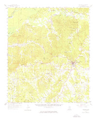
1958 Woodville
Wilkinson County, MS

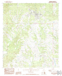
1984 Woodville
Wilkinson County, MS
1988 Woodville
Wilkinson County, MS

1991 Woodville
Wilkinson County, MS
2012 Woodville
Wilkinson County, MS
2015 Woodville
Wilkinson County, MS
2018 Woodville
Wilkinson County, MS
2020 Woodville
Wilkinson County, MS
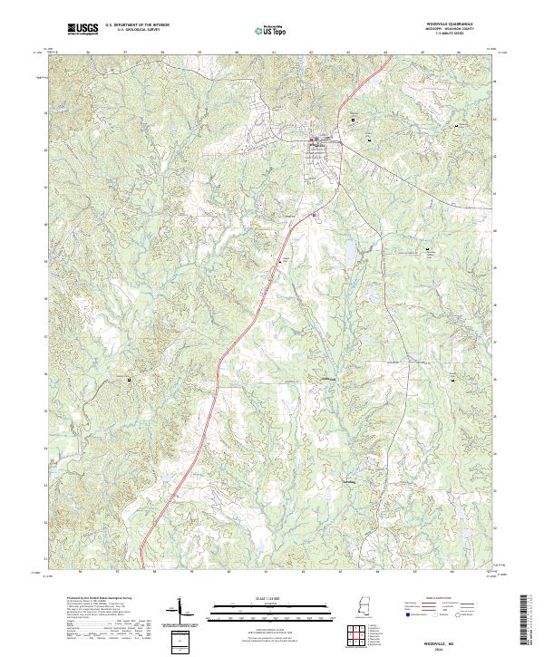
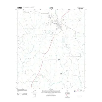
2024 Woodville
Wilkinson County, MS