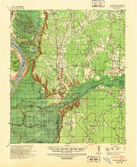
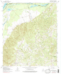
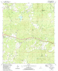
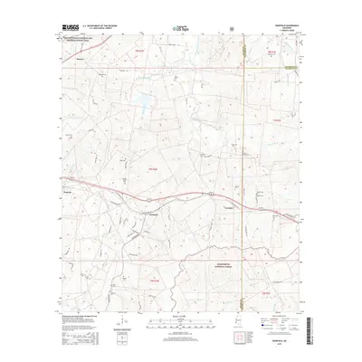
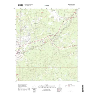
1939 Map of Kingston
USGS Topo · Published 1944About this map
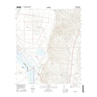
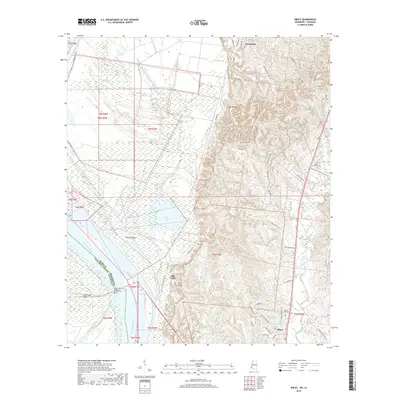
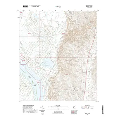
The dramatic bluffs of Ellis Cliffs overlook the winding Mississippi River and the low-lying expanse of Homochitto Island during this 1930s era of navigation and flood control. This landscape transitions from the river's alluvial plain into the rolling uplands of Adams County, where the Mississippi River Commission documented a dense network of rural communities, plantations, and timberlands. Small settlements like Kingston and Sibley serve as local hubs, connected by the Sligo Road and Woodville Road.
Find a feature on this map
88 named features on this map. Tap any name to fly to it.
Don’t see what you’re looking for? This feature index may not catch every label — zoom into the map to look around manually.
Map Details
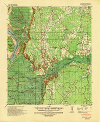
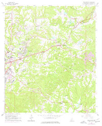
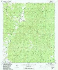
Editions of this 1939 Kingston Map
2 editions found
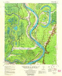
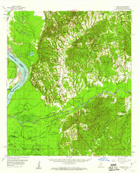
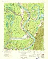
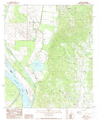
Historical Maps of Esperance Landing Through Time
46 maps found
1958 Artonish
Adams County, MS
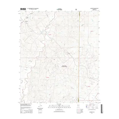
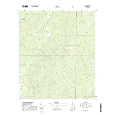
1958 Kingston
Adams County, MS
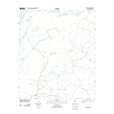
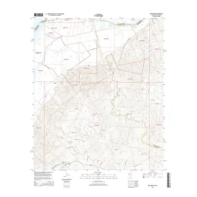
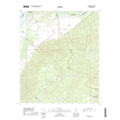
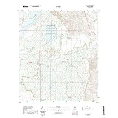
1963 Pine Ridge
Adams County, MS
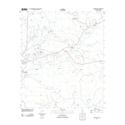
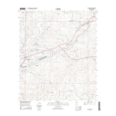
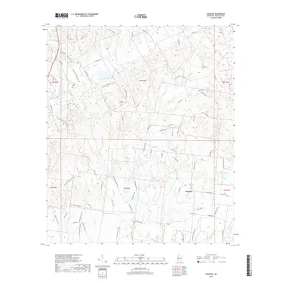
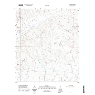
1963 Washington
Adams County, MS
1967 Artonish
Adams County, MS
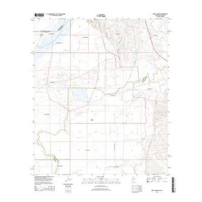
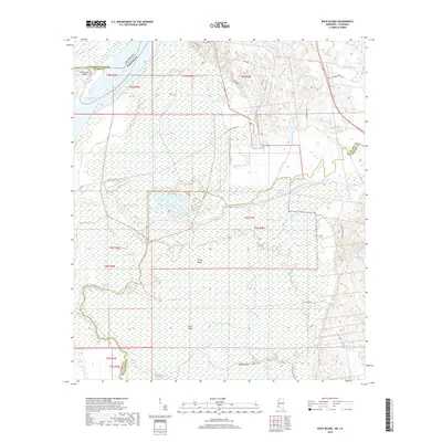
1988 Buck Island
Adams County, MS
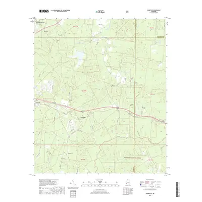
1988 Cranfield
Adams County, MS
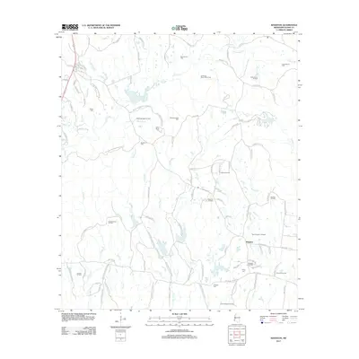
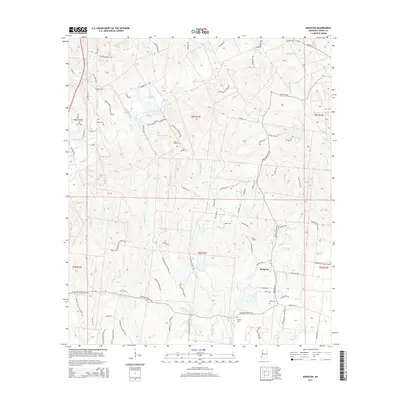
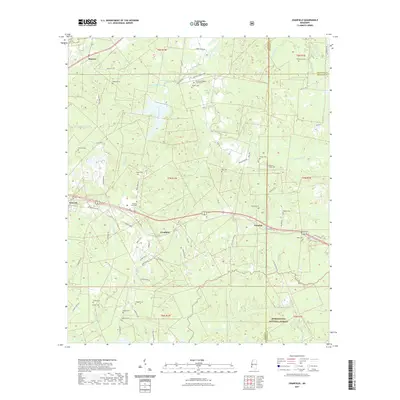
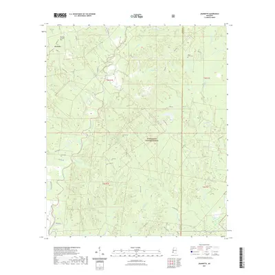
1988 Jeannette
Adams County, MS

1988 Kingston
Adams County, MS
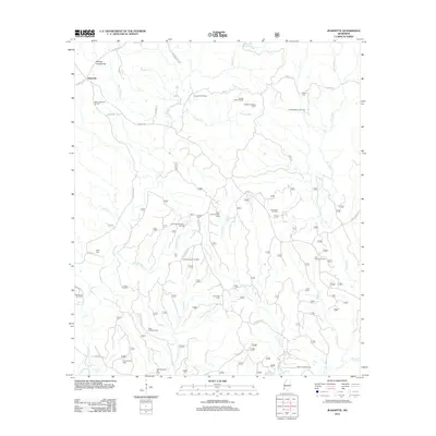
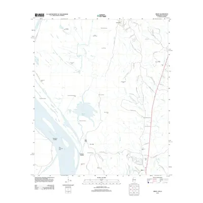
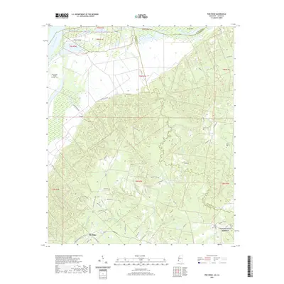
1988 Sibley
Adams County, MS
2000 Jeannette
Adams County, MS
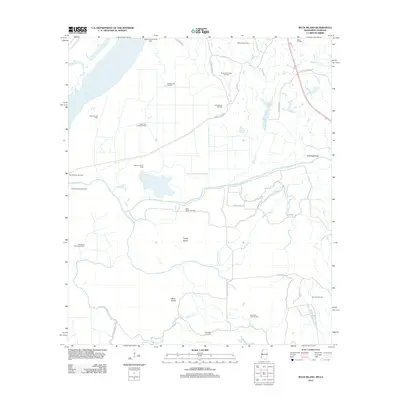
2012 Buck Island
Adams County, MS
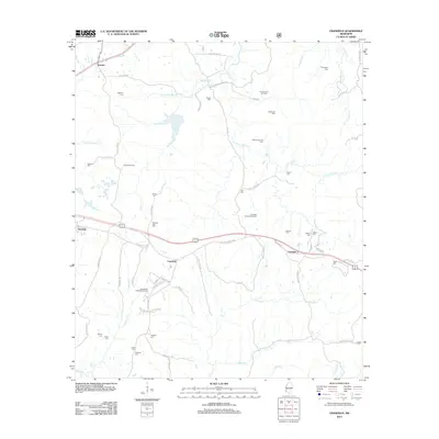
2012 Cranfield
Adams County, MS
2012 Jeannette
Adams County, MS
2012 Kingston
Adams County, MS
2012 Pine Ridge
Adams County, MS
2012 Sibley
Adams County, MS
2012 Washington
Adams County, MS
2015 Buck Island
Adams County, MS
2015 Cranfield
Adams County, MS
2015 Jeannette
Adams County, MS
2015 Kingston
Adams County, MS
2015 Pine Ridge
Adams County, MS
2015 Sibley
Adams County, MS
2015 Washington
Adams County, MS
2018 Buck Island
Adams County, MS
2018 Cranfield
Adams County, MS
2018 Jeannette
Adams County, MS
2018 Kingston
Adams County, MS
2018 Pine Ridge
Adams County, MS
2018 Sibley
Adams County, MS
2018 Washington
Adams County, MS
2020 Buck Island
Adams County, MS
2020 Kingston
Adams County, MS
2020 Pine Ridge
Adams County, MS
2020 Sibley
Adams County, MS
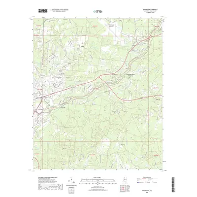
2020 Washington
Adams County, MS
2021 Cranfield
Adams County, MS
2021 Jeannette
Adams County, MS
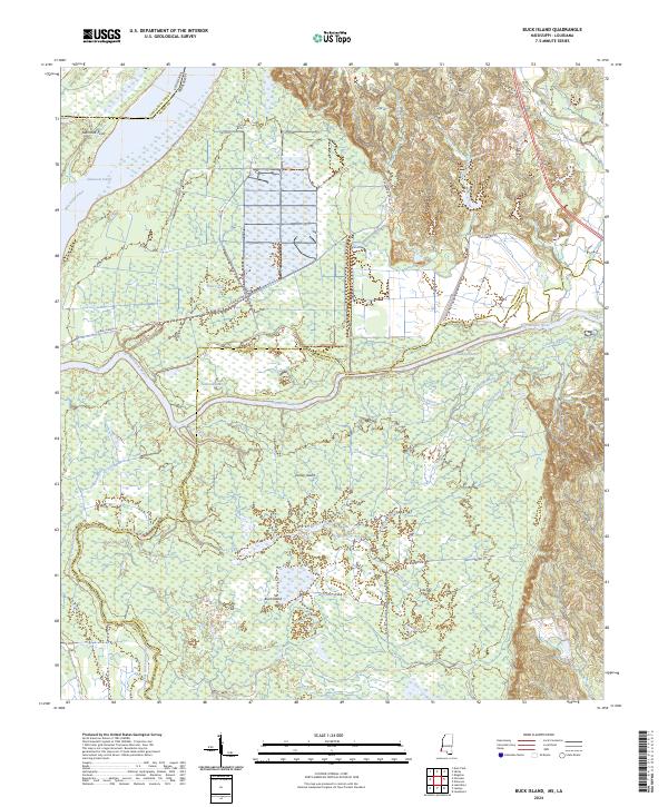
2024 Buck Island
Adams County, MS
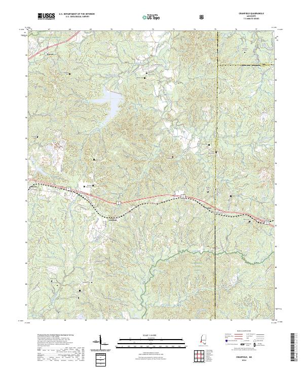
2024 Cranfield
Adams County, MS
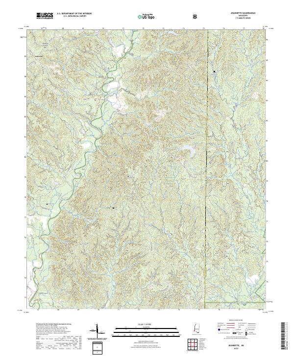
2024 Jeannette
Adams County, MS
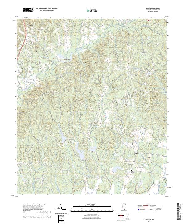
2024 Kingston
Adams County, MS
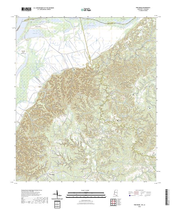
2024 Pine Ridge
Adams County, MS
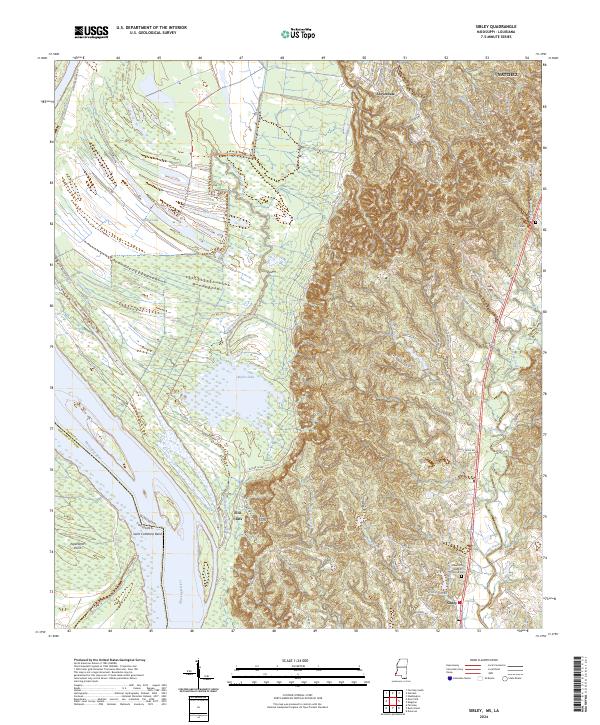
2024 Sibley
Adams County, MS
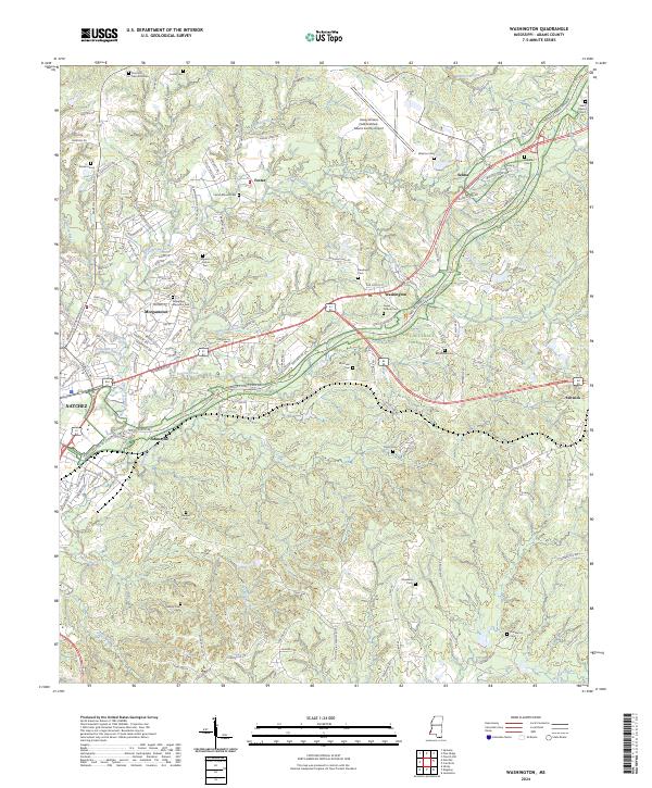
2024 Washington
Adams County, MS