
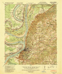
1939 Map of Natchez
USGS Topo · Published 1943About this map
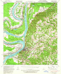
The Mississippi River winds through this 1939 landscape, defining the shifting boundary between Concordia Parish and the high bluffs of Adams County. This era reveals a dense network of river-bottom agricultural estates, including Hole in the Wall Plantation, Delhi Plantation, and Alabama Plantation nestled within the river's great loops. The town of Vidalia sits directly across the water from the bustling city center of Natchez, which is shown in fine detail with its radiating rail lines like the Mississippi Central RR and Yazoo & Mississippi Valley RR.
Find a feature on this map
108 named features on this map. Tap any name to fly to it.
Don’t see what you’re looking for? This feature index may not catch every label — zoom into the map to look around manually.
Map Details
Editions of this 1939 Natchez Map
3 editions found
Other maps of this area

1909 · Sycamore Landing
USGS Topo · 1:24,000

1909 · Vidalia
USGS Topo · 1:24,000

1921 · Natchez
USGS Topo · 1:48,000

1922 · Natchez
USGS Topo · 1:62,500

1939 · Red Gum
USGS Topo · 1:62,500

1939 · Lorman
USGS Topo · 1:62,500

1939 · Kingston
USGS Topo · 1:62,500

1939 · Deer Park
USGS Topo · 1:62,500

1939 · Locust Ridge
USGS Topo · 1:62,500

1941 · Sicily Island
USGS Topo · 1:62,500