
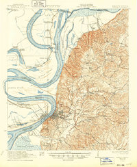
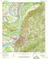
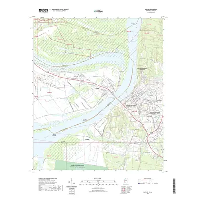
1921 Map of Natchez
USGS Topo · Published 1921About this map
Natchez stands on the high bluffs overlooking a volatile section of the Mississippi River, where the transition from the river's alluvial plain to the loess hills of Adams County is clearly defined. This era of the river is marked by dramatic bends and cutoffs, including the Waterproof Cut off and the complex oxbow of Lake St John. The landscape is densely populated with antebellum-rooted agricultural estates such as Windemere Plantation, Hole in Wall Plantation, and Taconey Plantation, while the bluff-top topography is dotted with a network of country churches and schools serving rural communities like Anna and Selma.
Find a feature on this map
106 named features on this map. Tap any name to fly to it.
Don’t see what you’re looking for? This feature index may not catch every label — zoom into the map to look around manually.
Map Details
Editions of this 1921 Natchez Map
This is the sole edition of this map. No revisions or reprints were ever made.
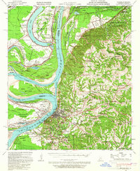
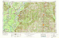
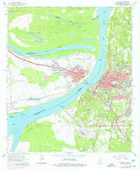
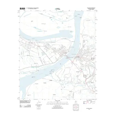
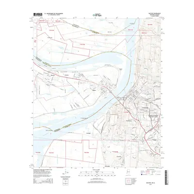
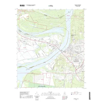
Historical Maps of Natchez Through Time
15 maps found
1921 Natchez
Adams County, MS
1922 Natchez
Adams County, MS
1939 Natchez
Adams County, MS
1953 Natchez
Adams County, MS

1956 Natchez
Adams County, MS

1959 Natchez
Adams County, MS
1963 Natchez
Adams County, MS
1965 Natchez
Adams County, MS

1984 Natchez
Adams County, MS

1991 Natchez
Adams County, MS
2012 Natchez
Adams County, MS
2015 Natchez
Adams County, MS
2018 Natchez
Adams County, MS
2020 Natchez
Adams County, MS
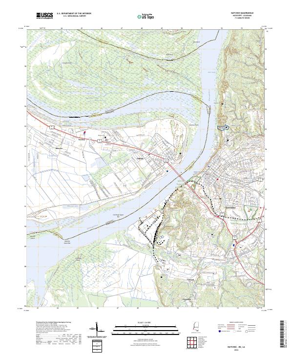
2024 Natchez
Adams County, MS