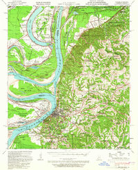
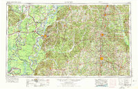
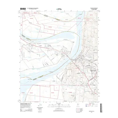
1939 Map of Natchez
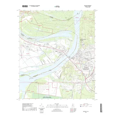
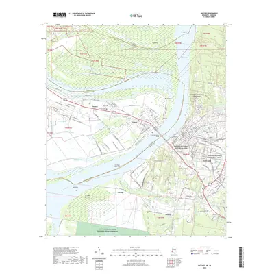
USGS Topo · Published 1965About this map
Natchez sits atop the bluffs overlooking the Mississippi River and the low-lying reaches of Concordia Parish in this 1939 survey. The landscape is defined by the massive bend of the river and the engineering efforts to control it, notably at Giles Cut-Off (1933) and the Water Proof Cut-Off 1884. These works transformed former river channels into oxbow lakes like Lake St John and Lake Concordia, which became the backdrop for a dense network of river-economy settlements.
Find a feature on this map
183 named features on this map. Tap any name to fly to it.
Don’t see what you’re looking for? This feature index may not catch every label — zoom into the map to look around manually.
Map Details
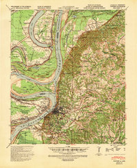
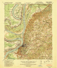
Editions of this 1939 Natchez Map
3 editions found
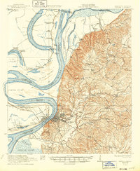
Historical Maps of Natchez Through Time
15 maps found

1921 Natchez
Adams County, MS
1922 Natchez
Adams County, MS
1939 Natchez
Adams County, MS
1953 Natchez
Adams County, MS

1956 Natchez
Adams County, MS

1959 Natchez
Adams County, MS
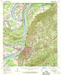
1963 Natchez
Adams County, MS
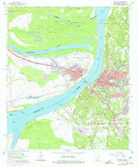
1965 Natchez
Adams County, MS

1984 Natchez
Adams County, MS

1991 Natchez
Adams County, MS
2012 Natchez
Adams County, MS
2015 Natchez
Adams County, MS
2018 Natchez
Adams County, MS
2020 Natchez
Adams County, MS
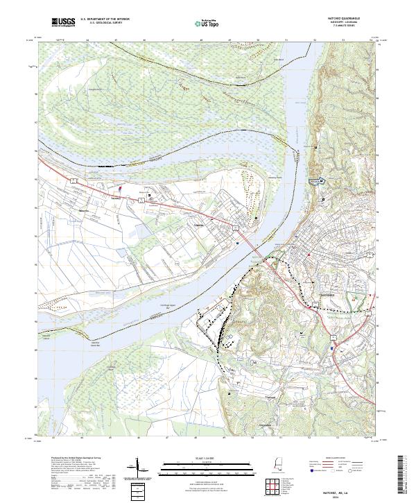
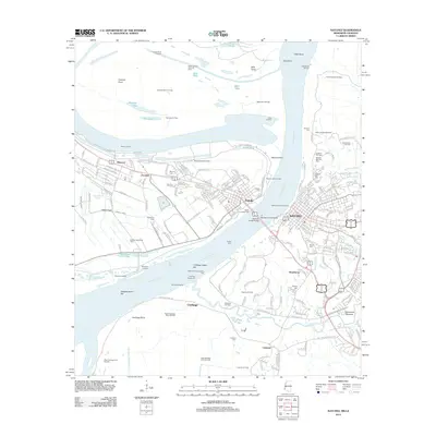
2024 Natchez
Adams County, MS