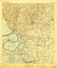
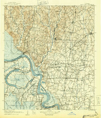
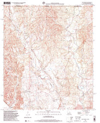
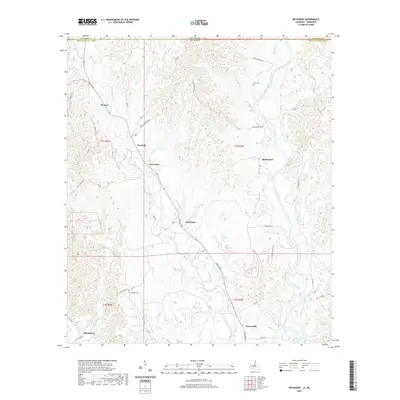
1906 Map of Bayou Sara
USGS Topo · Published 1921About this map
St. Francisville anchors this early 20th-century landscape where the Mississippi River defines the shifting boundary between Louisiana parishes. The map illustrates a hydrological transition as the river bypasses its former channel at False River, creating False Island and leaving behind the vast Grand Swamp and Greves Swamp. This period was defined by a complex transportation network, featuring the Yazoo and Mississippi Valley Railroad and the Texas and Pacific lines moving goods across the alluvial plains.
Find a feature on this map
122 named features on this map. Tap any name to fly to it.
Don’t see what you’re looking for? This feature index may not catch every label — zoom into the map to look around manually.
Map Details
Editions of this 1906 Bayou Sara Map
3 editions found

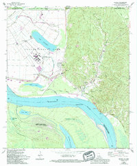
Historical Maps of Baton Rouge Through Time
33 maps found
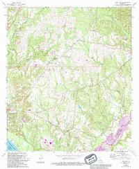
1906 Bayou Sara
West Feliciana Parish, LA
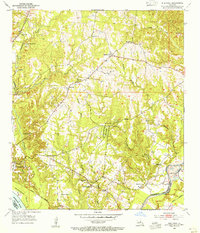
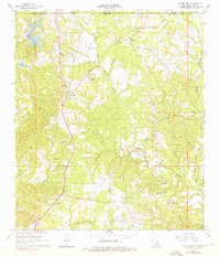
1954 Elm Park
West Feliciana Parish, LA
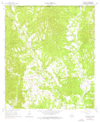
1965 Angola
West Feliciana Parish, LA
1965 Elm Park
West Feliciana Parish, LA
1965 Laurel Hill
West Feliciana Parish, LA
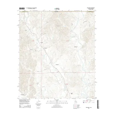
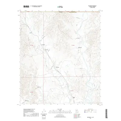
1965 Weyanoke
West Feliciana Parish, LA
1996 Angola
West Feliciana Parish, LA
1998 Weyanoke
West Feliciana Parish, LA

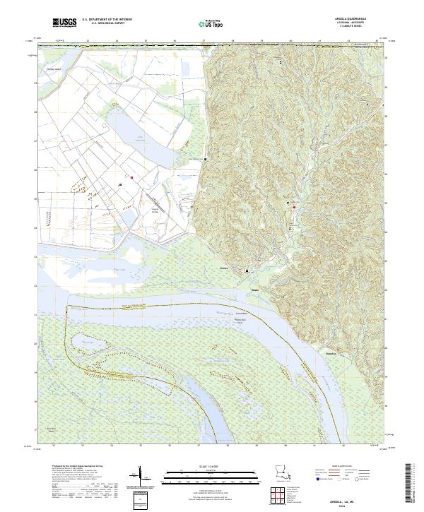
2012 Angola
West Feliciana Parish, LA

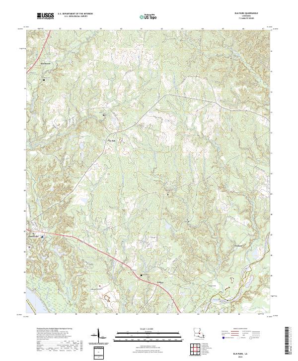
2012 Elm Park
West Feliciana Parish, LA

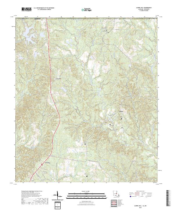
2012 Laurel Hill
West Feliciana Parish, LA
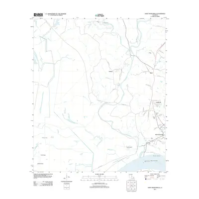
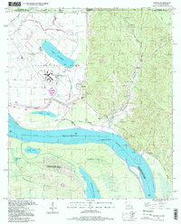
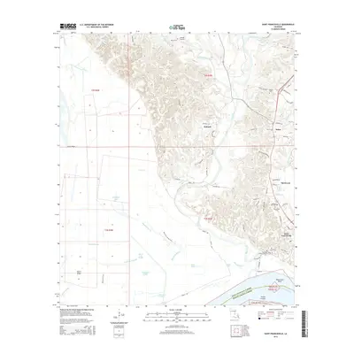
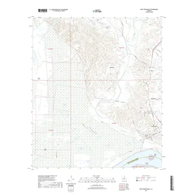
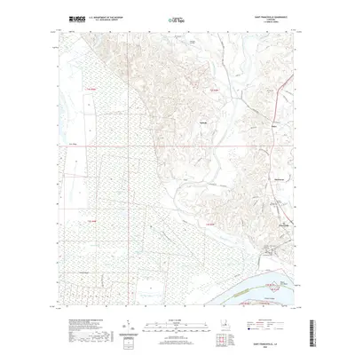
2012 Saint Francisville
West Feliciana Parish, LA
2012 Weyanoke
West Feliciana Parish, LA

2015 Angola
West Feliciana Parish, LA

2015 Elm Park
West Feliciana Parish, LA

2015 Laurel Hill
West Feliciana Parish, LA
2015 Saint Francisville
West Feliciana Parish, LA
2015 Weyanoke
West Feliciana Parish, LA

2018 Angola
West Feliciana Parish, LA

2018 Elm Park
West Feliciana Parish, LA

2018 Laurel Hill
West Feliciana Parish, LA
2018 Saint Francisville
West Feliciana Parish, LA
2018 Weyanoke
West Feliciana Parish, LA

2020 Angola
West Feliciana Parish, LA

2020 Elm Park
West Feliciana Parish, LA

2020 Laurel Hill
West Feliciana Parish, LA
2020 Saint Francisville
West Feliciana Parish, LA
2020 Weyanoke
West Feliciana Parish, LA
2024 Angola
West Feliciana Parish, LA
2024 Elm Park
West Feliciana Parish, LA
2024 Laurel Hill
West Feliciana Parish, LA
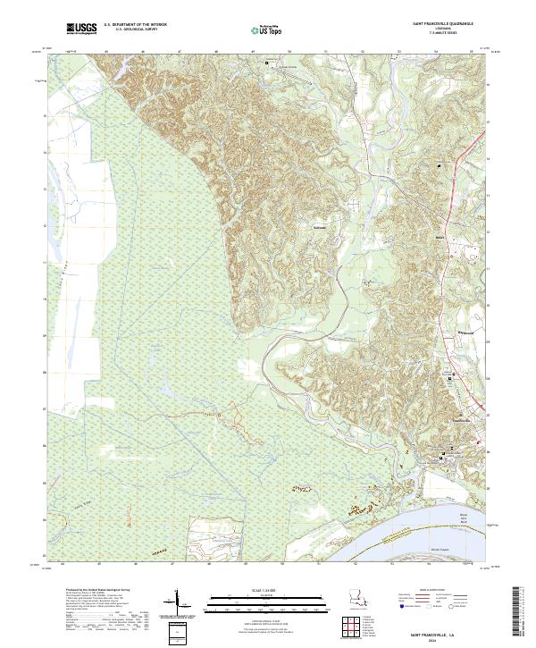
2024 Saint Francisville
West Feliciana Parish, LA
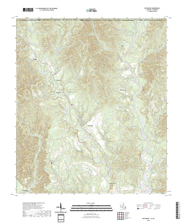
2024 Weyanoke
West Feliciana Parish, LA