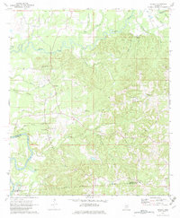
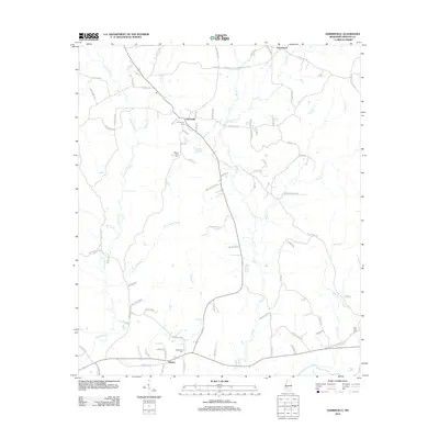
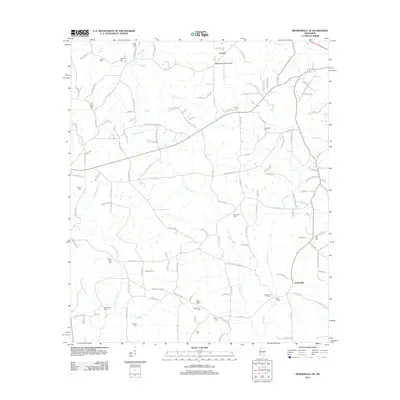
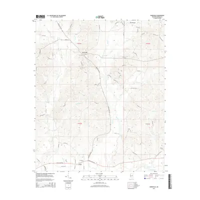
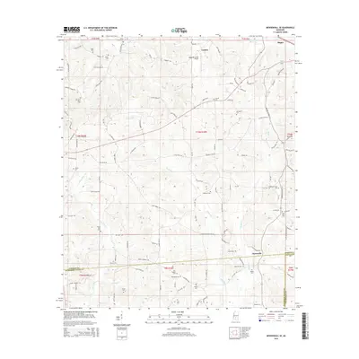
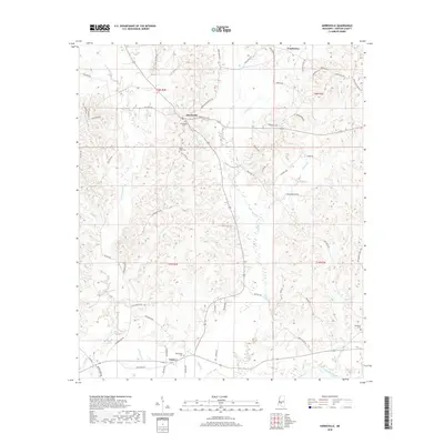
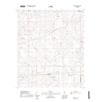
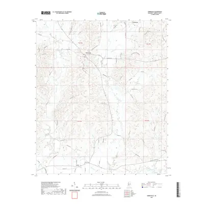
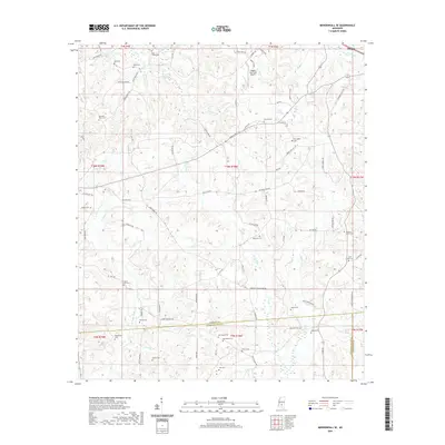
1971 Map of Mendenhall SE
USGS Topo · Published 1973About this map
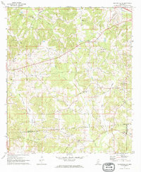
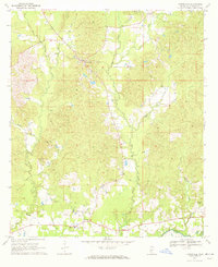
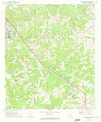
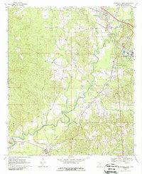
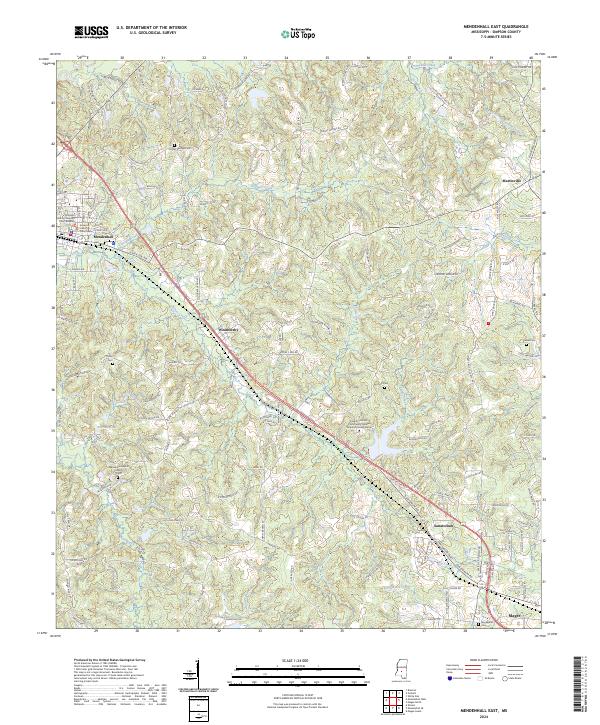
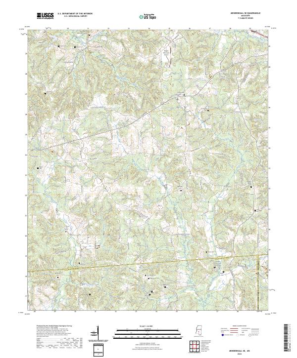
The Old Indian Treaty Boundary slices across this rural Mississippi landscape, marking a historical division just south of Bowie Creek. The terrain is defined by the heavy industrial footprint of the Gwinville Oil and Gas Field, which spans the southern portion of the map with its network of service roads and an extensive pipeline system. Numerous small country churches and family burial grounds are scattered throughout the wooded hills, including Macedonia Ch and the Old St Peter Cem, providing vital geographic anchors for genealogical research.
Find a feature on this map
33 named features on this map. Tap any name to fly to it.
Don’t see what you’re looking for? This feature index may not catch every label — zoom into the map to look around manually.
Map Details
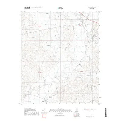
Editions of this 1971 Mendenhall SE Map
This is the sole edition of this map. No revisions or reprints were ever made.
Historical Maps of Magee Through Time
48 maps found
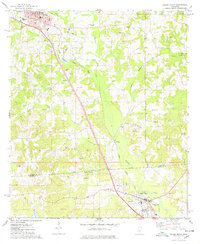
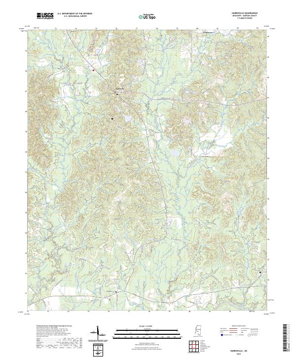
1970 Harrisville
Simpson County, MS
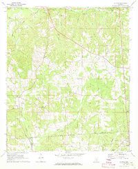
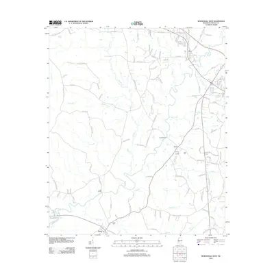
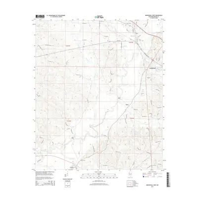
1970 Mendenhall East
Simpson County, MS
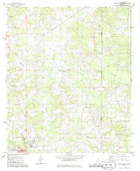
1970 Mendenhall West
Simpson County, MS
1971 Mendenhall SE
Simpson County, MS
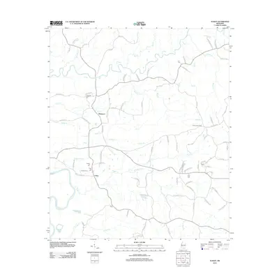
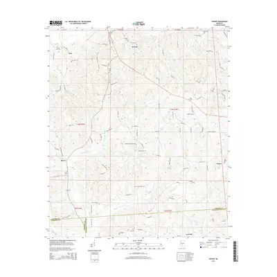
1971 Schley
Simpson County, MS
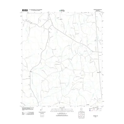
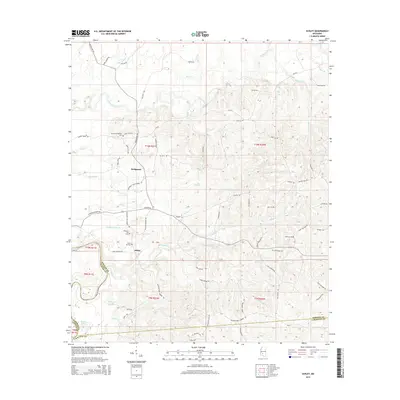
1971 Shivers
Simpson County, MS
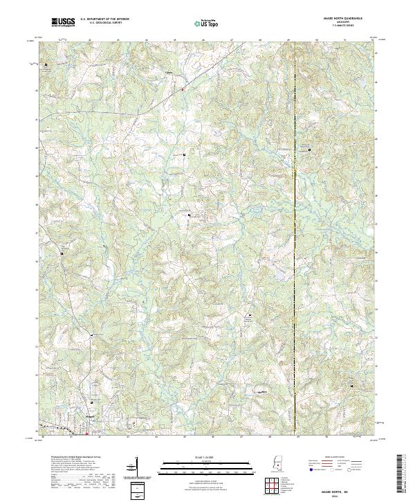
1975 Magee North
Simpson County, MS
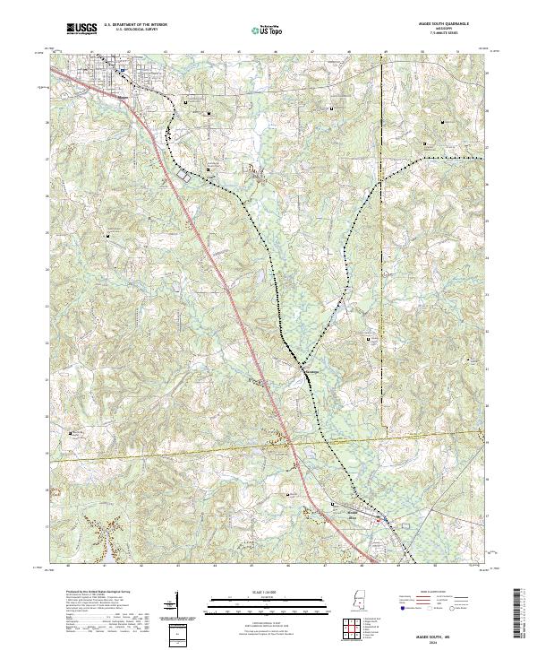
1975 Magee South
Simpson County, MS
2012 Harrisville
Simpson County, MS
2012 Magee North
Simpson County, MS
2012 Magee South
Simpson County, MS
2012 Mendenhall East
Simpson County, MS
2012 Mendenhall SE
Simpson County, MS
2012 Mendenhall West
Simpson County, MS
2012 Schley
Simpson County, MS
2012 Shivers
Simpson County, MS
2015 Harrisville
Simpson County, MS
2015 Magee North
Simpson County, MS
2015 Magee South
Simpson County, MS
2015 Mendenhall East
Simpson County, MS
2015 Mendenhall SE
Simpson County, MS
2015 Mendenhall West
Simpson County, MS
2015 Schley
Simpson County, MS
2015 Shivers
Simpson County, MS
2018 Harrisville
Simpson County, MS
2018 Magee North
Simpson County, MS
2018 Magee South
Simpson County, MS
2018 Mendenhall East
Simpson County, MS
2018 Mendenhall SE
Simpson County, MS
2018 Mendenhall West
Simpson County, MS
2018 Schley
Simpson County, MS
2018 Shivers
Simpson County, MS
2020 Harrisville
Simpson County, MS
2020 Magee North
Simpson County, MS
2020 Magee South
Simpson County, MS
2020 Mendenhall East
Simpson County, MS
2020 Mendenhall SE
Simpson County, MS
2020 Mendenhall West
Simpson County, MS
2020 Schley
Simpson County, MS
2020 Shivers
Simpson County, MS
2024 Harrisville
Simpson County, MS
2024 Magee North
Simpson County, MS
2024 Magee South
Simpson County, MS
2024 Mendenhall East
Simpson County, MS
2024 Mendenhall SE
Simpson County, MS
2024 Mendenhall West
Simpson County, MS
2024 Schley
Simpson County, MS
2024 Shivers
Simpson County, MS