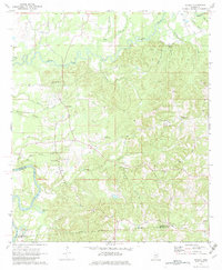
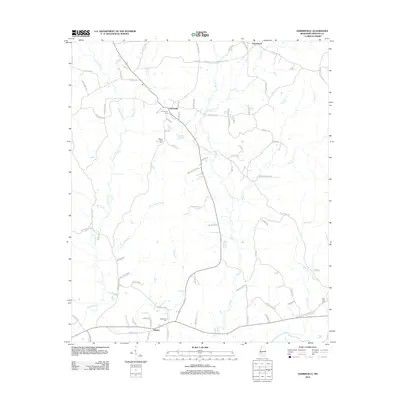
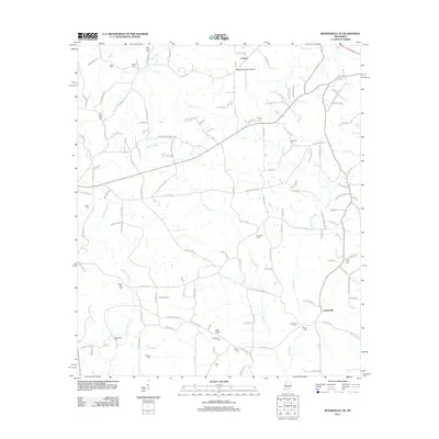
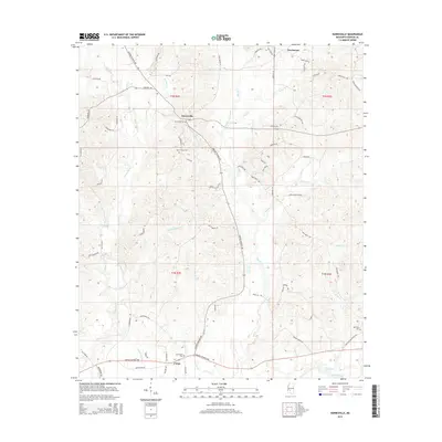
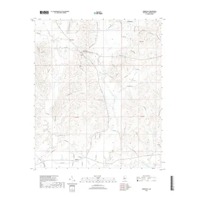
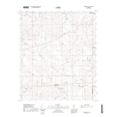
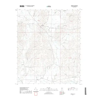
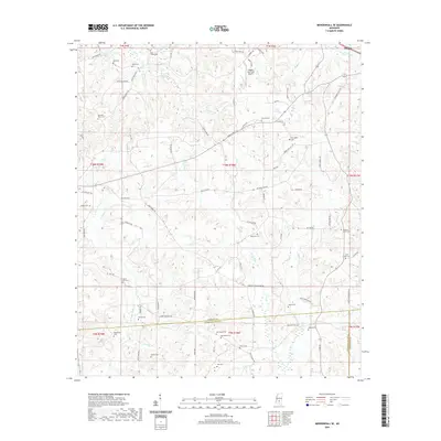
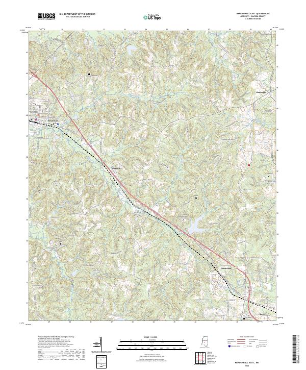
1970 Map of Mendenhall East
USGS Topo · Published 1972About this map
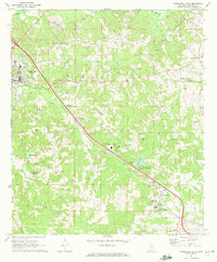
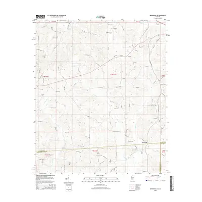
State Sanatorium and the town of Sanatorium serve as the southeastern anchor for this study of Simpson County, centered on the Illinois Central railroad corridor. The landscape is a mix of agricultural fields and timbered ridges, where numerous country churches and small family cemeteries suggest deep genealogical roots. The seat at Mendenhall is clearly detailed, showing the Armory, Airport, and local institutions like Simpson Academy. In the rural hinterlands, the map records the distribution of local industry and community life, from the Gravel Pits near Weathersby to the Drive-in Theater and Simpson Lookout Tower. Waterways like Sellers Creek and Okatoma Creek drain the undulating terrain, while spiritual centers such as Zion Hill Ch and Bethlehem Ch mark the crossroads of this Mississippi interior.
Find a feature on this map
50 named features on this map. Tap any name to fly to it.
Don’t see what you’re looking for? This feature index may not catch every label — zoom into the map to look around manually.
Map Details
Editions of this 1970 Mendenhall East Map
This is the sole edition of this map. No revisions or reprints were ever made.
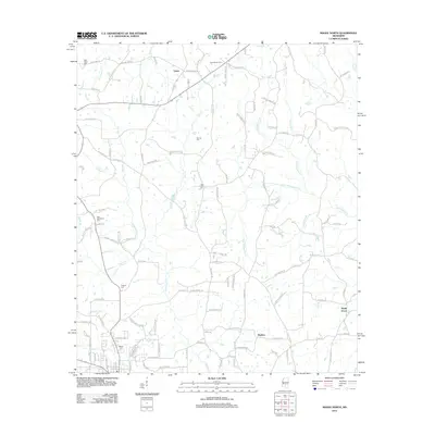
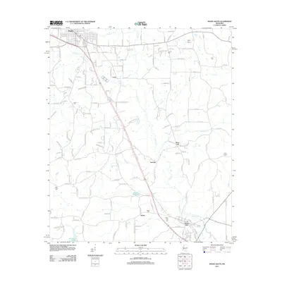
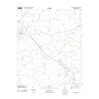
Historical Maps of Magee Through Time
48 maps found
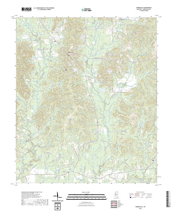
1970 Harrisville
Simpson County, MS
1970 Mendenhall East
Simpson County, MS
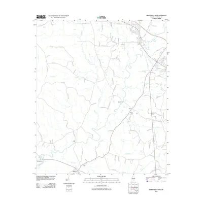
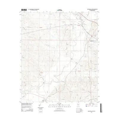
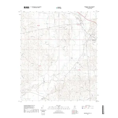
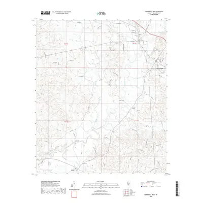
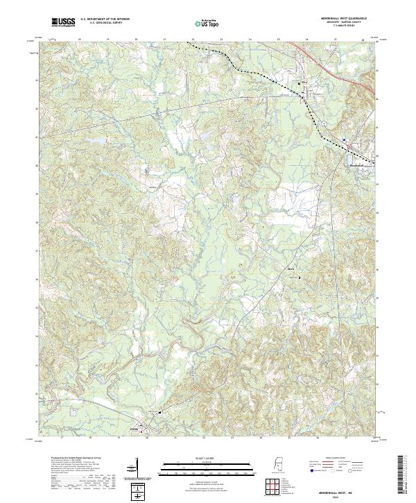
1970 Mendenhall West
Simpson County, MS
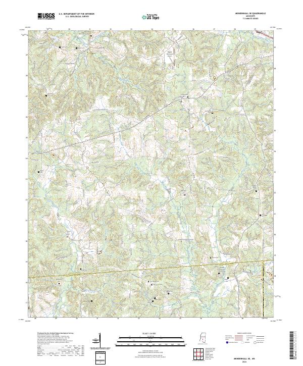
1971 Mendenhall SE
Simpson County, MS
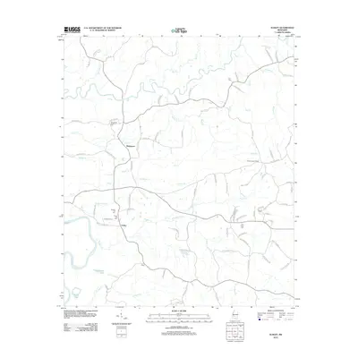
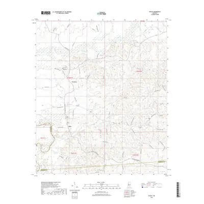
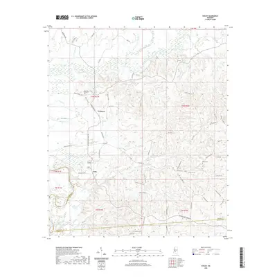
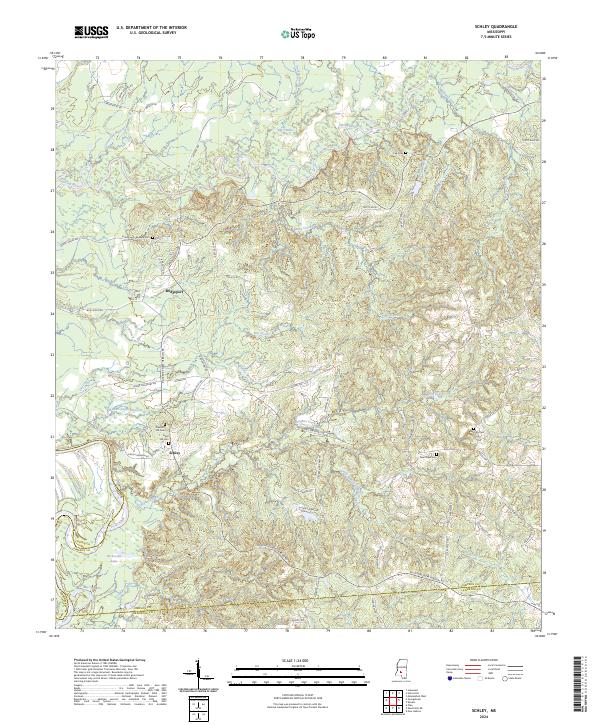
1971 Schley
Simpson County, MS
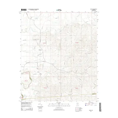
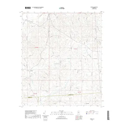
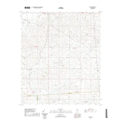
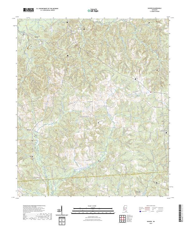
1971 Shivers
Simpson County, MS
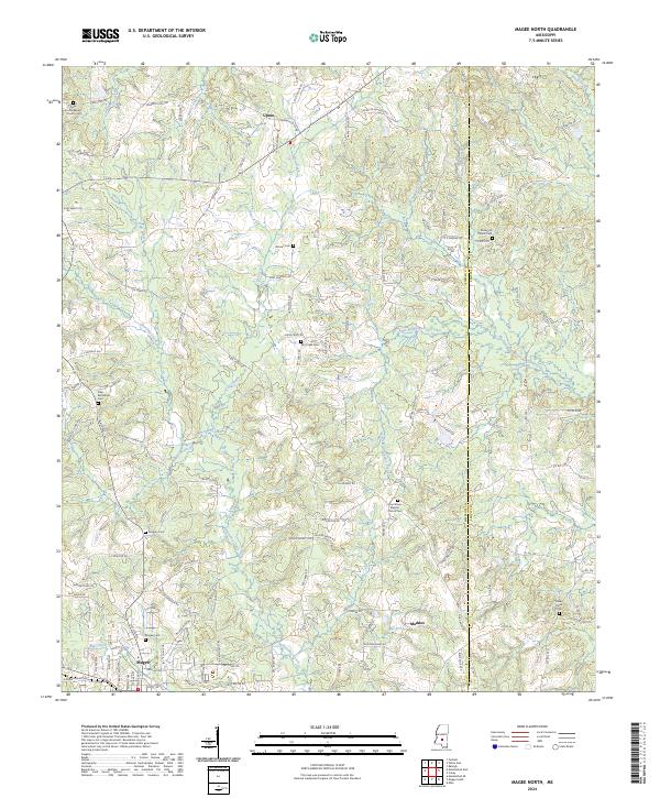
1975 Magee North
Simpson County, MS
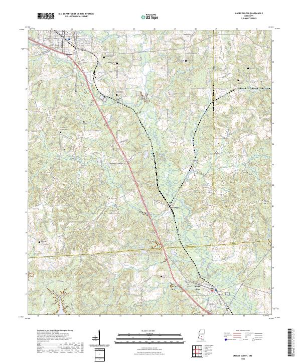
1975 Magee South
Simpson County, MS
2012 Harrisville
Simpson County, MS
2012 Magee North
Simpson County, MS
2012 Magee South
Simpson County, MS
2012 Mendenhall East
Simpson County, MS
2012 Mendenhall SE
Simpson County, MS
2012 Mendenhall West
Simpson County, MS
2012 Schley
Simpson County, MS
2012 Shivers
Simpson County, MS
2015 Harrisville
Simpson County, MS
2015 Magee North
Simpson County, MS
2015 Magee South
Simpson County, MS
2015 Mendenhall East
Simpson County, MS
2015 Mendenhall SE
Simpson County, MS
2015 Mendenhall West
Simpson County, MS
2015 Schley
Simpson County, MS
2015 Shivers
Simpson County, MS
2018 Harrisville
Simpson County, MS
2018 Magee North
Simpson County, MS
2018 Magee South
Simpson County, MS
2018 Mendenhall East
Simpson County, MS
2018 Mendenhall SE
Simpson County, MS
2018 Mendenhall West
Simpson County, MS
2018 Schley
Simpson County, MS
2018 Shivers
Simpson County, MS
2020 Harrisville
Simpson County, MS
2020 Magee North
Simpson County, MS
2020 Magee South
Simpson County, MS
2020 Mendenhall East
Simpson County, MS
2020 Mendenhall SE
Simpson County, MS
2020 Mendenhall West
Simpson County, MS
2020 Schley
Simpson County, MS
2020 Shivers
Simpson County, MS
2024 Harrisville
Simpson County, MS
2024 Magee North
Simpson County, MS
2024 Magee South
Simpson County, MS
2024 Mendenhall East
Simpson County, MS
2024 Mendenhall SE
Simpson County, MS
2024 Mendenhall West
Simpson County, MS
2024 Schley
Simpson County, MS
2024 Shivers
Simpson County, MS