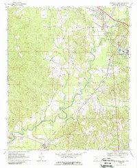
1970 Map of Mendenhall West
USGS Topo · Published 1986About this map
The Strong River meanders across this part of Simpson County, anchoring a landscape shaped by the Illinois Central railroad and the timber and agricultural needs of the mid-20th century. This survey documents the relationship between the river and the growing regional centers of D'Lo and Mendenhall, where the Mendenhall Municipal Airport and County Hospital stand as modern markers of development. South of these centers, the map reveals a traditional settlement pattern of small communities like Merit and Westville, each with its own local institutions.
Find a feature on this map
36 named features on this map. Tap any name to fly to it.
Don’t see what you’re looking for? This feature index may not catch every label — zoom into the map to look around manually.
Map Details
Editions of this 1970 Mendenhall West Map
2 editions found
Other maps of this area

1903 · Jackson
USGS Topo · 1:125,000

1906 · Florence
USGS Topo · 1:62,500

1908 · Florence
USGS Topo · 1:62,500

1953 · Hattiesburg
USGS Topo · 1:250,000

1953 · Meridian
USGS Topo · 1:250,000

1953 · Natchez
USGS Topo · 1:250,000

1955 · Jackson
USGS Topo · 1:250,000

1956 · Natchez
USGS Topo · 1:250,000

1957 · Meridian
USGS Topo · 1:250,000

1958 · Hattiesburg
USGS Topo · 1:250,000